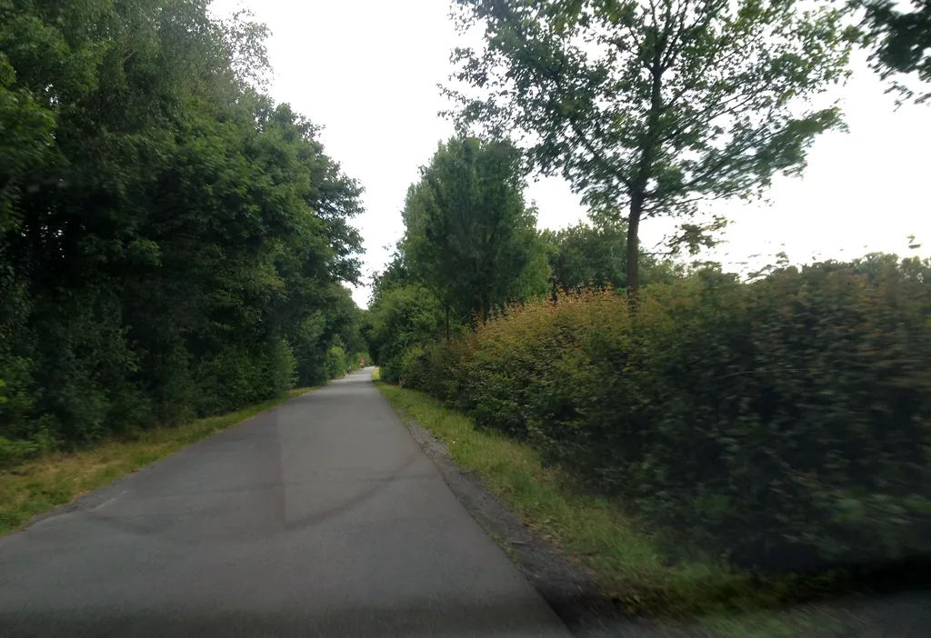
Themed route · East Westphalia-Lippe
Bielefeld, Teutoburger and streams
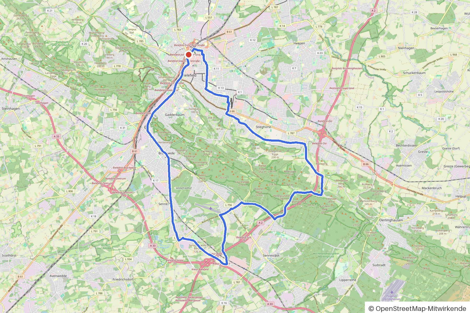
32 km approx. 2:06 h 226 hm Mostly asphalt
A curated route from the free Radrunde app — navigable node by node across the node network in the app.
32 kilometres through Bielefeld and surrounding countryside — rolling, with an avenue and twelve stream crossings.
The route
You start in Bielefeld. You roll on asphalt and paving through settlements, woodland and parks, crossing twelve streams — Lutter, Bohnenbach, Kantensiekbach and others. An avenue lies on the route. The ride is rolling: 226 metres of climbing over 32 kilometres. Along the way you'll find six churches, three monuments and several museums — and if you fancy a break, numerous cafés, ice-cream cafés and two beer gardens.
- Distance
- 32 km
- Ascent
- 226 m
- Riding time
- approx. 2:06 h
- Surface
- Mostly asphalt
Along the route
km 0.0Start
In the app-
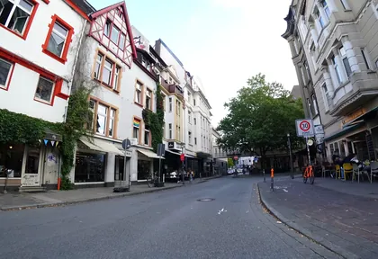
km 0.3 Photo: flohoff · CC BY-SA 4.0 · cropped -
km 0.5 Around the start · 2 places Süsterkirche, Bismarck-Denkmal
-
km 1.3 Around km 1.3 · 2 places NaMu - Naturkunde-Museum, Dr. Oetker Welt
-
km 1.9 Olsson Café
-
km 5.3 Bartholomäuskirche Church
-
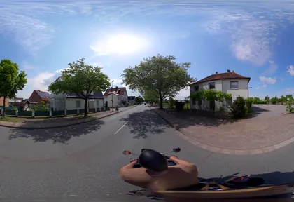
km 6.4 Photo: flohoff · CC BY-SA 4.0 · cropped -
km 7.1 Cafe Büttner Café
-
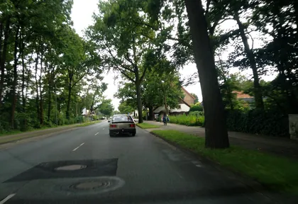
km 7.6 Photo: spindle · CC BY-SA 4.0 · cropped -
km 8.8 Kriegerdenkmal Monument
-
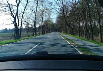
km 10.8 Photo: thorstenh · CC BY-SA 4.0 · cropped -
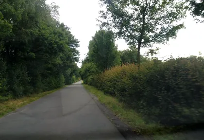
km 13.6 Photo: spindle · CC BY-SA 4.0 · cropped -
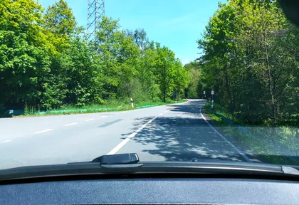
km 18.9 Photo: thorstenh · CC BY-SA 4.0 · cropped -
km 27.2 Sterya Eisdiele Ice cream parlour
-
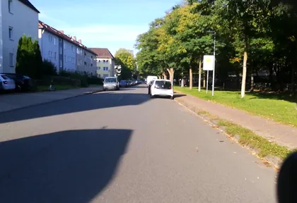
km 28 Photo: DeFra85 · CC BY-SA 4.0 · cropped -
km 30 Historisches Museum Bielefeld Museum
-
km 30.7 Pauluskirche Church
-
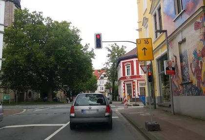
km 30.7 Photo: resmai · CC BY-SA 4.0 · cropped -
km 31.4 Erinnerung an die Deportation der ostwestfälischen Juden Monument
-
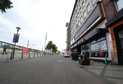
km 31.6 Photo: flohoff · CC BY-SA 4.0 · cropped
Ride this loop in the app
You’ll find the route in the app under Themed Routes — Radrunde guides you along it node by node.
- Guides you Node by node — you look at the signs, not at your screen
- Works without signal The network data is on your device — if you lose signal, your phone calculates the loop itself
- Free No account, no ads — the NRW network stays free for good

