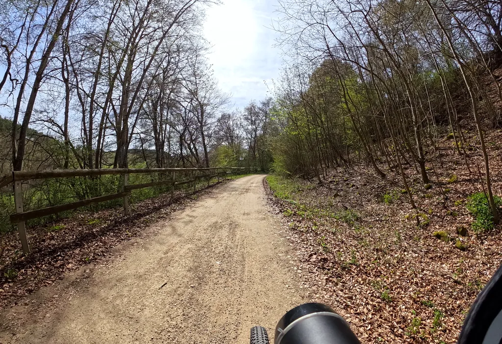
Themed route · Aachen & Eifel
Blankenheim, Ahr and Eifelmuseum
30 km approx. 2:01 h 525 hm Mostly asphalt
A curated route from the free Radrunde app — navigable node by node across the node network in the app.
30 kilometres hilly through the Eifel starting from Blankenheim — across four bridges, past four churches and the Eifelmuseum.
The route
You start in Blankenheim. You cross the Ahr, the Nonnenbach, Schaafbach and Lampertsbach on bridges, and also cross the Mülheimer Bach, Bonnesbach and Reetzer Bach. The route is hilly — 525 metres of elevation gain over 30 kilometres, mostly on asphalt. Along the way you'll find four churches, the Eifelmuseum, Burg Neuweiler and the Alte Friedhof. If you fancy a break, you can stop at the Eiscafé San Marco, the Alte Oelmühle as a beer garden, or the Rastplatz Perle.
- Distance
- 30 km
- Ascent
- 525 m
- Riding time
- approx. 2:01 h
- Surface
- Mostly asphalt
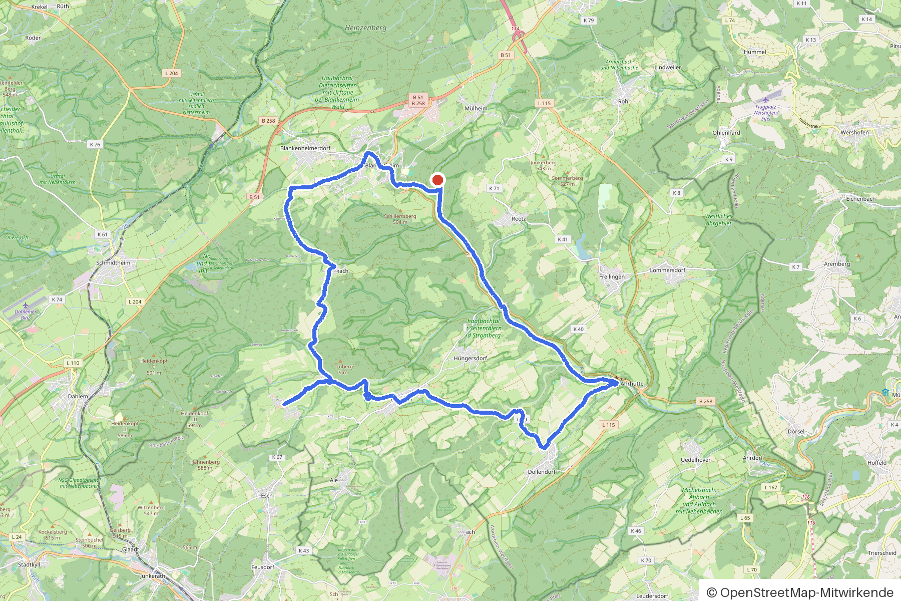
Along the route
km 0.0Start
In the app-
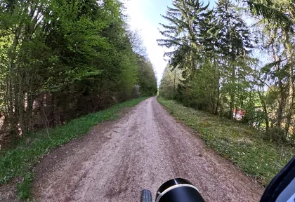
km 0.2 Photo: mapillaryme · CC BY-SA 4.0 · cropped -
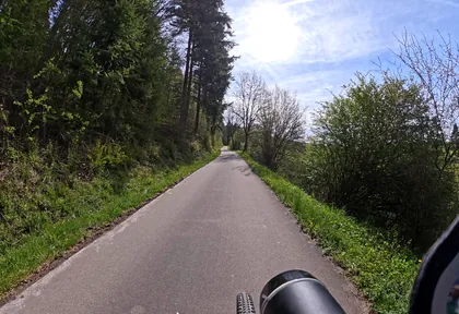
km 0.8 Photo: mapillaryme · CC BY-SA 4.0 · cropped -
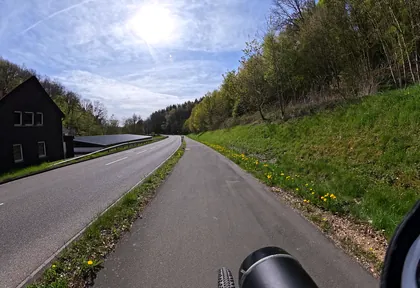
km 1.4 Photo: mapillaryme · CC BY-SA 4.0 · cropped -
km 2.1 Around km 2.1 · 2 places Eiscafé San Marco, St. Maria Himmelfahrt
-
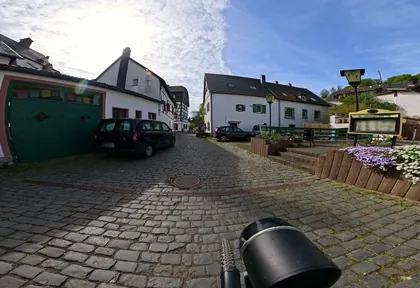
km 2.2 Photo: mapillaryme · CC BY-SA 4.0 · cropped -
km 15.8 St. Johann Baptist Church
-
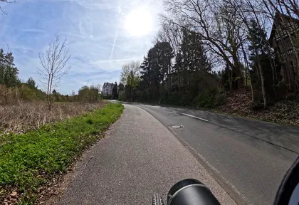
km 23 Photo: mapillaryme · CC BY-SA 4.0 · cropped -
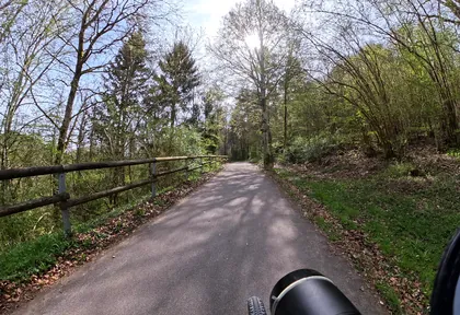
km 23.8 Photo: mapillaryme · CC BY-SA 4.0 · cropped -
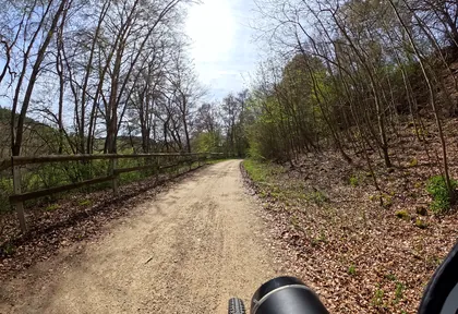
km 24.6 Photo: mapillaryme · CC BY-SA 4.0 · cropped -
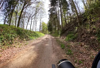
km 25.4 Photo: mapillaryme · CC BY-SA 4.0 · cropped -
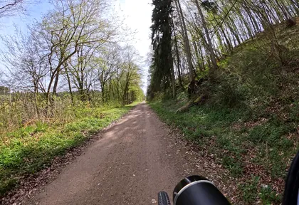
km 26 Photo: mapillaryme · CC BY-SA 4.0 · cropped -
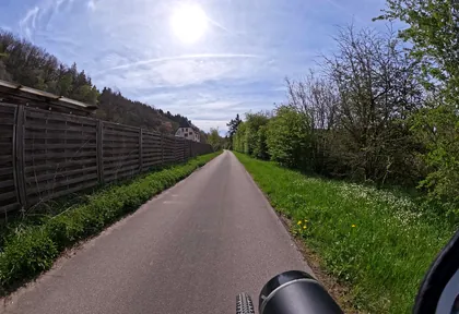
km 27 Photo: mapillaryme · CC BY-SA 4.0 · cropped
Ride this loop in the app
You’ll find the route in the app under Themed Routes — Radrunde guides you along it node by node.
- Guides you Node by node — you look at the signs, not at your screen
- Works without signal The network data is on your device — if you lose signal, your phone calculates the loop itself
- Free No account, no ads — the NRW network stays free for good

