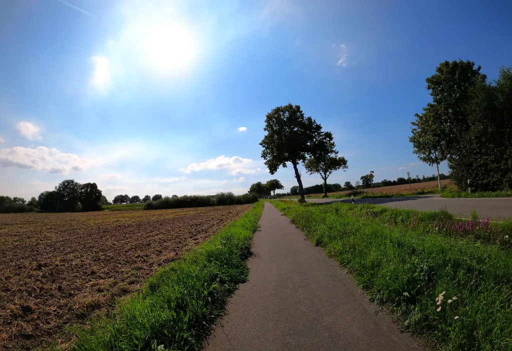
Themed route · Münsterland
Dülmen, Karthaus, Buldern — 47 kilometres
47 km approx. 3:07 h 120 hm Mostly asphalt
A curated route from the free Radrunde app — navigable node by node across the node network in the app.
47 kilometres from Dülmen via Karthaus to Buldern — almost entirely on asphalt, with an avenue and five churches.
The route
You start in Dülmen and roll on this route almost completely on asphalt. Along the way you cross several streams — Dahlbach, Flöthbach, Meslingbach and others — and ride over six bridges. An avenue shapes a stretch of the route. The route is flat and takes you through settlements, woodland and open countryside. Five churches lie along the way, including Heilig-Kreuz and St. Viktor. If you need a break, you'll find Cafe Extrablatt, Eiscafé San Marco or Picknickplatz Daldrup.
- Distance
- 47 km
- Ascent
- 120 m
- Riding time
- approx. 3:07 h
- Surface
- Mostly asphalt
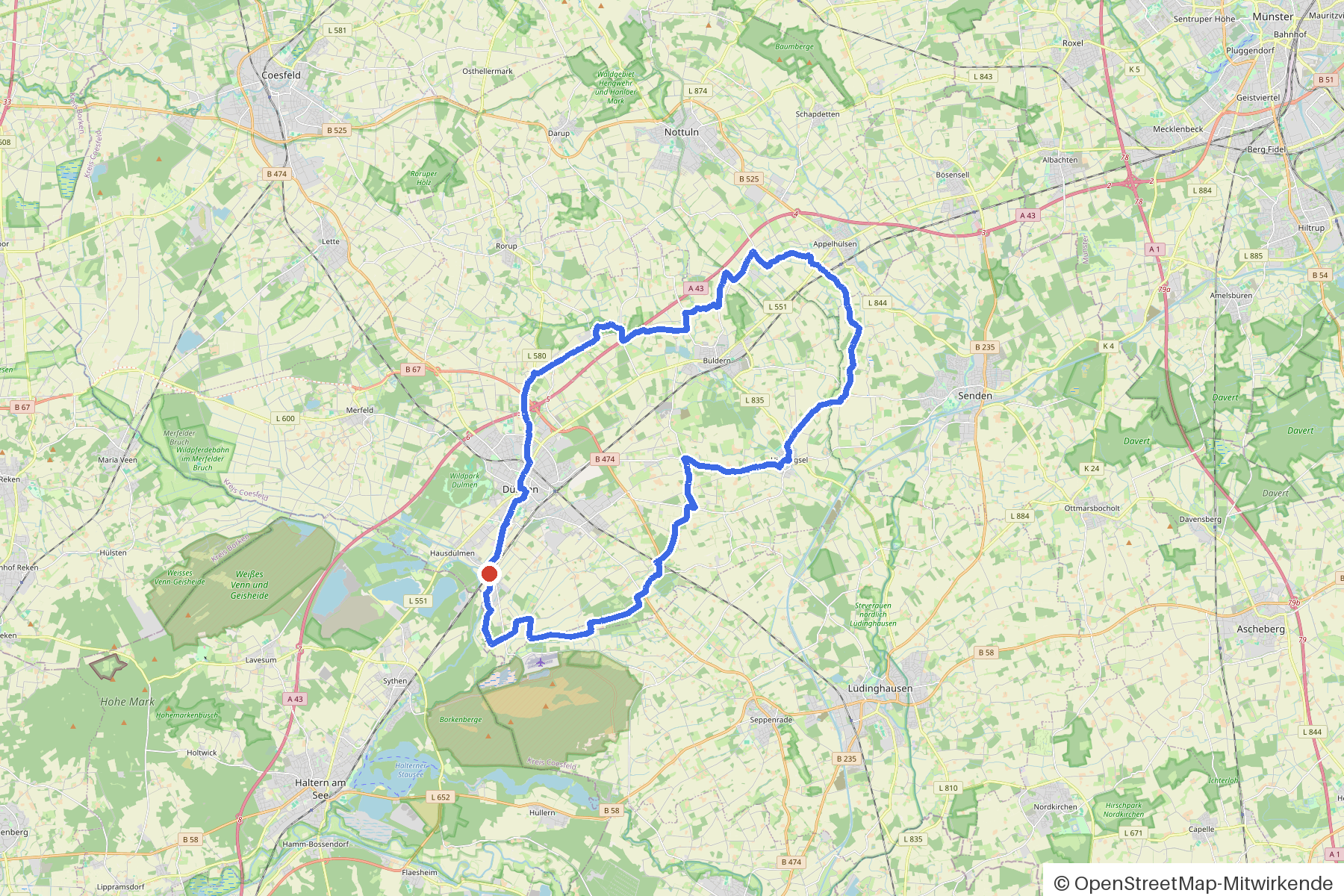
Along the route
km 0.0Start
In the app-
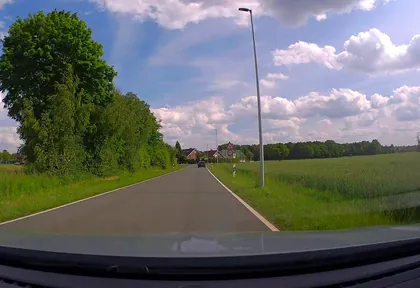
km 0 Photo: poxonline · CC BY-SA 4.0 · cropped -
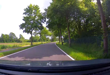
km 0.8 Photo: poxonline · CC BY-SA 4.0 · cropped -
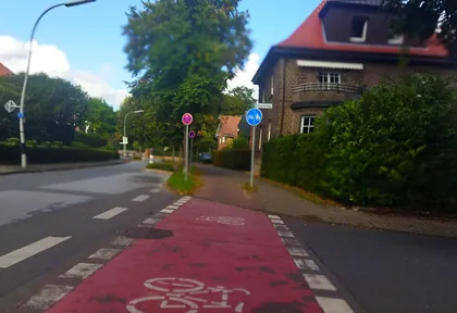
km 2.6 Photo: changchun1 · CC BY-SA 4.0 · cropped -
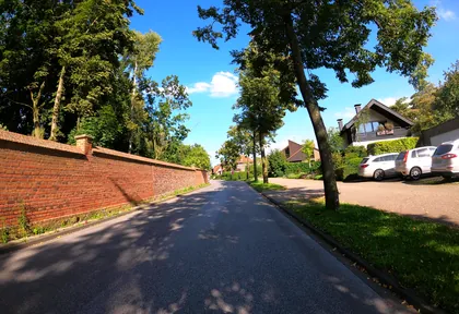
km 2.8 Photo: VIA_KK · CC BY-SA 4.0 · cropped -
km 3.2 Around km 3.2 · 2 places Anna Katharina Emmerick Gedenkstätte, Eiscafé San Marco
-
km 5.2 Photo: poxonline · CC BY-SA 4.0 · cropped -
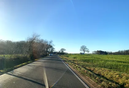
km 7.6 Photo: descilla · CC BY-SA 4.0 · cropped -
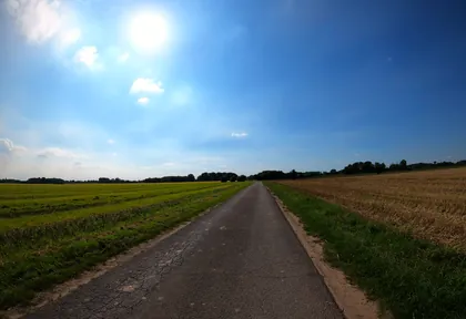
km 25.6 Photo: VIA_KK · CC BY-SA 4.0 · cropped -
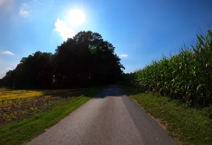
km 26.2 Photo: VIA_KK · CC BY-SA 4.0 · cropped -
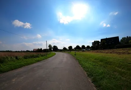
km 27.4 Photo: VIA_KK · CC BY-SA 4.0 · cropped -
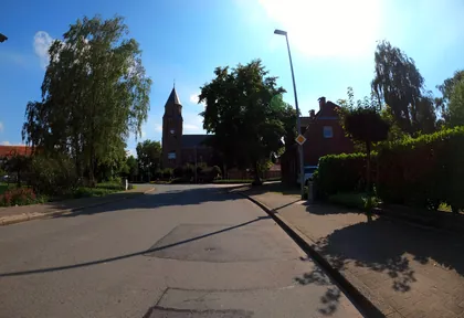
km 28.2 Photo: VIA_KK · CC BY-SA 4.0 · cropped -
km 28.3 Pfarrkirche St. Georg Church
-
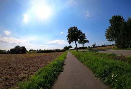
km 29.2 Photo: VIA_KK · CC BY-SA 4.0 · cropped -
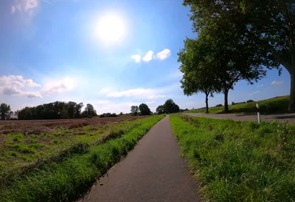
km 30 Photo: VIA_KK · CC BY-SA 4.0 · cropped -
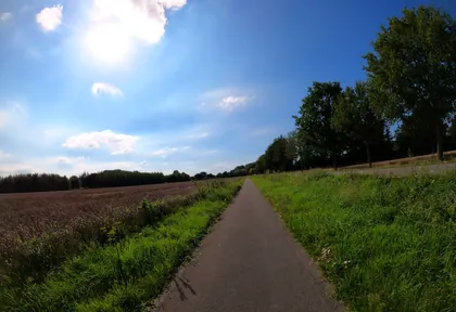
km 31 Photo: VIA_KK · CC BY-SA 4.0 · cropped -
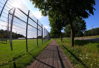
km 31.8 Photo: VIA_KK · CC BY-SA 4.0 · cropped -
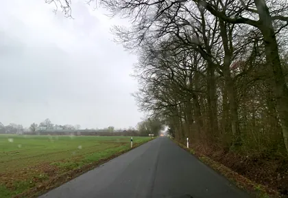
km 33.2 Photo: descilla · CC BY-SA 4.0 · cropped -
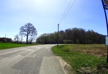
km 34.2 Photo: ramap · CC BY-SA 4.0 · cropped -
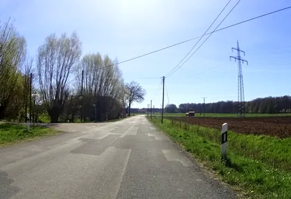
km 34.8 Photo: ramap · CC BY-SA 4.0 · cropped -
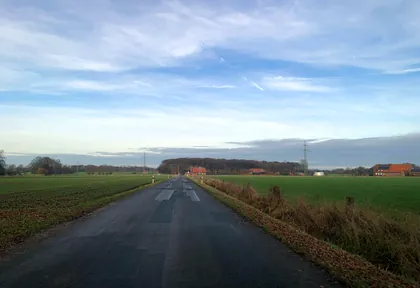
km 35.4 Photo: descilla · CC BY-SA 4.0 · cropped -
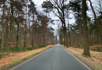
km 36.6 Photo: descilla · CC BY-SA 4.0 · cropped -
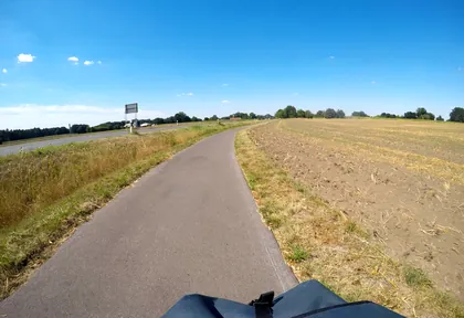
km 37.4 Photo: mfa · CC BY-SA 4.0 · cropped -
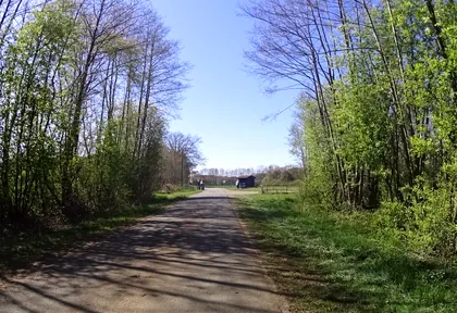
km 42.6 Photo: ramap · CC BY-SA 4.0 · cropped -
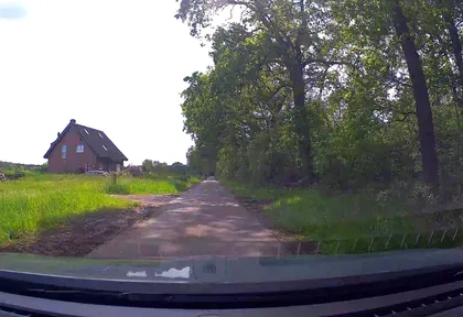
km 43.8 Photo: poxonline · CC BY-SA 4.0 · cropped -
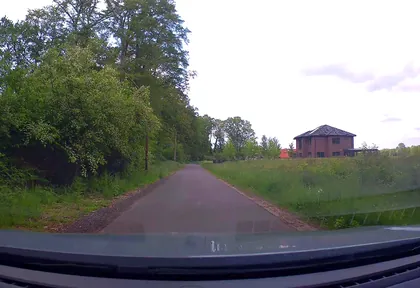
km 45 Photo: poxonline · CC BY-SA 4.0 · cropped
Ride this loop in the app
You’ll find the route in the app under Themed Routes — Radrunde guides you along it node by node.
- Guides you Node by node — you look at the signs, not at your screen
- Works without signal The network data is on your device — if you lose signal, your phone calculates the loop itself
- Free No account, no ads — the NRW network stays free for good

