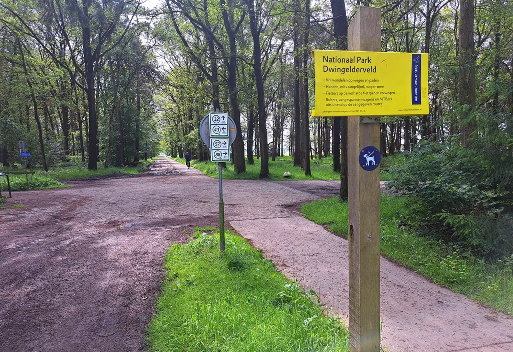
Themed route · Drenthe
Dwingeloo, Dwingelderveld and Avenue
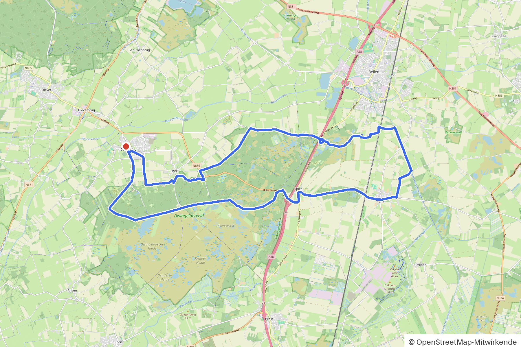
34 km approx. 2:16 h 62 hm Asphalt and gravel
A curated route from the free Radrunde app — navigable node by node across the node network in the app.
34 kilometres through forest and settlement from Dwingeloo — with avenue, bridge and three cafés.
The route
You start in Dwingeloo. You cycle mostly on asphalt and gravel through a landscape of forest, settlement and meadows. An avenue shapes the route, the bridge over the Linthorst Homankanaal is a distinctive point. Along the way lie the Sint Nicolaaskerk, the Oorlogsmonument and the open science hub "De Melkweg". If you fancy a break, you'll find three cafés: Hotel De Brink, De Boslounge and Achter 't Zaand.
- Distance
- 34 km
- Ascent
- 62 m
- Riding time
- approx. 2:16 h
- Surface
- Asphalt and gravel
Along the route
km 0.0Start
In the app-
km 0 Sint Nicolaaskerk Church
-
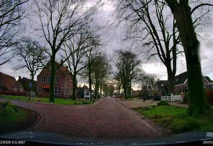
km 0.2 Photo: thewizard · CC BY-SA 4.0 · cropped -
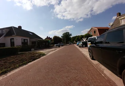
km 0.6 Photo: ankeric · CC BY-SA 4.0 · cropped -
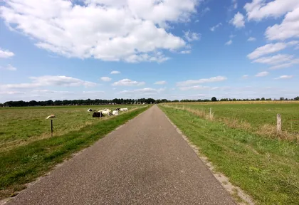
km 1.4 Photo: ankeric · CC BY-SA 4.0 · cropped -
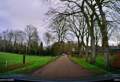
km 2.6 Photo: thewizard · CC BY-SA 4.0 · cropped -
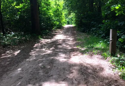
km 4.6 Photo: ankeric · CC BY-SA 4.0 · cropped -
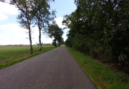
km 10.2 Photo: ankeric · CC BY-SA 4.0 · cropped -
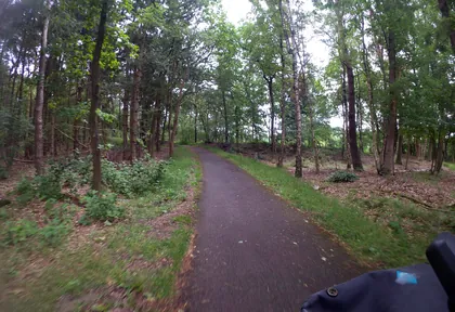
km 11.6 Photo: marczoutendijk · CC BY-SA 4.0 · cropped -
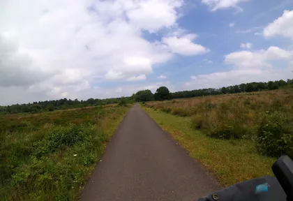
km 12.4 Photo: marczoutendijk · CC BY-SA 4.0 · cropped -
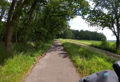
km 13 Photo: marczoutendijk · CC BY-SA 4.0 · cropped -
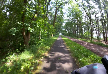
km 13.2 Photo: marczoutendijk · CC BY-SA 4.0 · cropped -
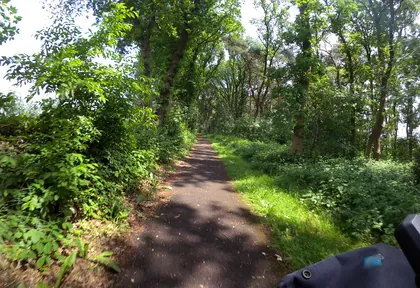
km 13.8 Photo: marczoutendijk · CC BY-SA 4.0 · cropped -
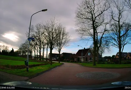
km 18.8 Photo: thewizard · CC BY-SA 4.0 · cropped -
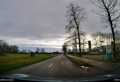
km 19.8 Photo: thewizard · CC BY-SA 4.0 · cropped -
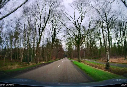
km 20.6 Photo: thewizard · CC BY-SA 4.0 · cropped -
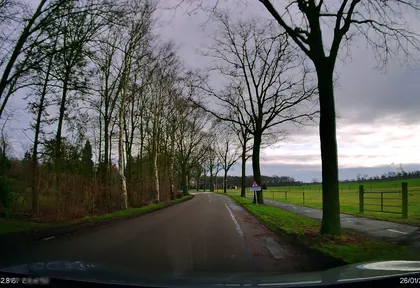
km 21.6 Photo: thewizard · CC BY-SA 4.0 · cropped -
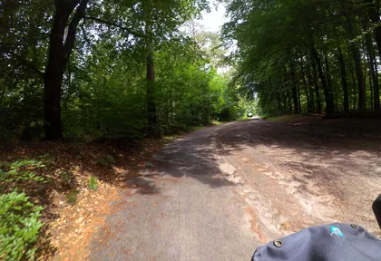
km 23.8 Photo: marczoutendijk · CC BY-SA 4.0 · cropped -
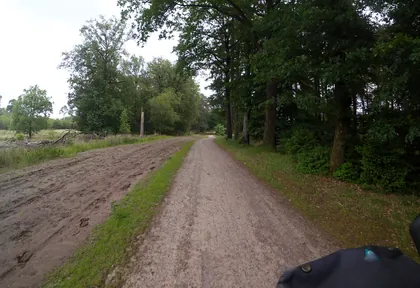
km 24.4 Photo: marczoutendijk · CC BY-SA 4.0 · cropped -
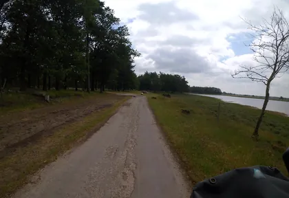
km 25.4 Photo: marczoutendijk · CC BY-SA 4.0 · cropped -
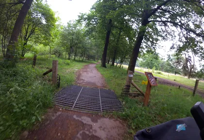
km 26.4 Photo: marczoutendijk · CC BY-SA 4.0 · cropped -
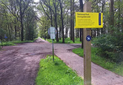
km 27.9 Photo: multi_wandel · CC BY-SA 4.0 · cropped -
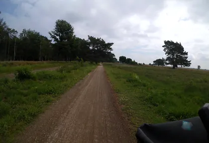
km 28.6 Photo: marczoutendijk · CC BY-SA 4.0 · cropped -
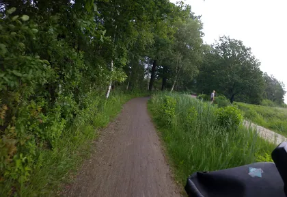
km 29.4 Photo: marczoutendijk · CC BY-SA 4.0 · cropped -
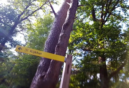
km 29.9 Photo: multi_wandel · CC BY-SA 4.0 · cropped -
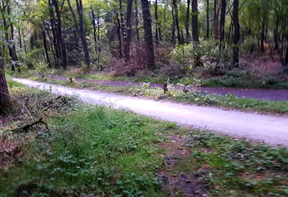
km 30.8 Photo: multi_wandel · CC BY-SA 4.0 · cropped -
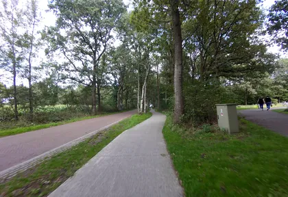
km 32.2 Photo: ankeric · CC BY-SA 4.0 · cropped -
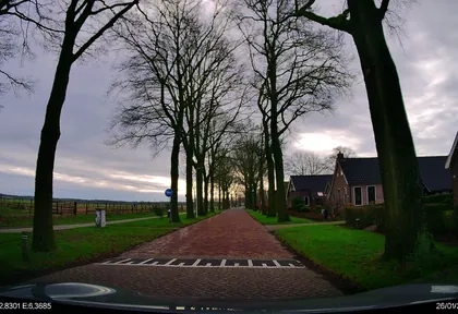
km 33.4 Photo: thewizard · CC BY-SA 4.0 · cropped
Ride this loop in the app
You’ll find the route in the app under Themed Routes — Radrunde guides you along it node by node.
- Guides you Node by node — you look at the signs, not at your screen
- Works without signal The network data is on your device — if you lose signal, your phone calculates the loop itself
- Free No account, no ads — the NRW network stays free for good

