Themed route · Ruhr Area
Essen, Schloss Baldeney and viewpoints
23 km approx. 1:31 h 154 hm Mostly asphalt
A curated route from the free Radrunde app — navigable node by node across the node network in the app.
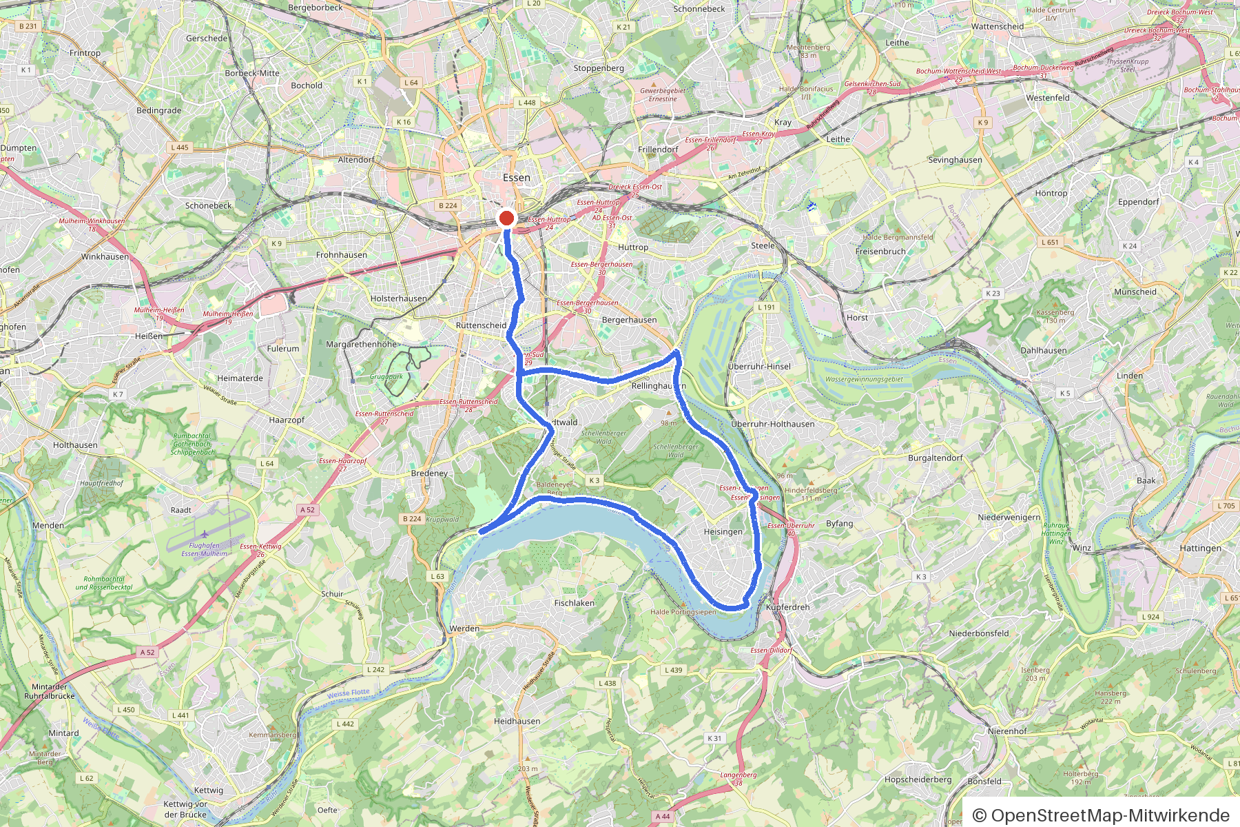
Undulating 23 kilometres through Essen — over two viewpoints, past Schloss Baldeney, with plenty of cafés along the way.
The route
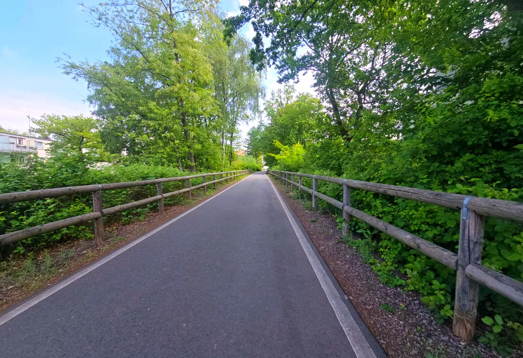
You start in Essen. You roll on asphalt through meadows and forest, pass St. Lambertus and the Fliegerdenkmal, reach the Aussichtspunkt Freiherr von Stein and later Hermanns-Blick. Along the way lie Schloss Baldeney with its chapel, the Schillerbrunnen and several monuments. The route is undulating — 154 metres of climbing over 23 kilometres. If you fancy a break, you'll find cafés like Cotti Coffee or Haferkater, beer gardens like Cafe Click and the ice cream parlour BENURO ICE Cream.
- Distance
- 23 km
- Ascent
- 154 m
- Riding time
- approx. 1:31 h
- Surface
- Mostly asphalt
Along the route
km 0.0Start
In the app-
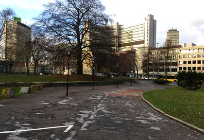
km 0.5 Photo: westfa · CC BY-SA 4.0 · cropped -
km 0.5 Chrissi Monument
-
km 1 Around km 1 · 2 places Günni, Café Süd
-
km 2.3 Photo: changchun1 · CC BY-SA 4.0 · cropped -
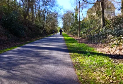
km 3.2 Photo: changchun1 · CC BY-SA 4.0 · cropped -
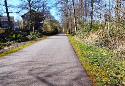
km 4 Photo: changchun1 · CC BY-SA 4.0 · cropped -
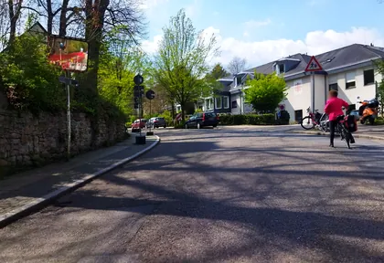
km 4.6 Photo: changchun1 · CC BY-SA 4.0 · cropped -
km 4.6 St. Lambertus Church
-
km 9.6 Fliegerdenkmal Monument
-
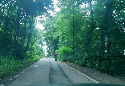
km 10.6 Photo: hiwi234 · CC BY-SA 4.0 · cropped -
km 11.9 Cafe Extrablatt Café
-
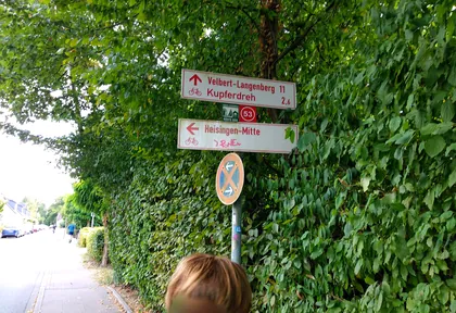
km 12.5 Photo: steinm · CC BY-SA 4.0 · cropped -
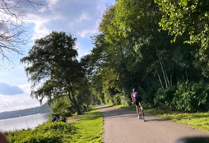
km 13.6 Photo: multimaze · CC BY-SA 4.0 · cropped -
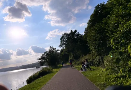
km 14.1 Photo: multimaze · CC BY-SA 4.0 · cropped -
km 14.6 Photo: multimaze · CC BY-SA 4.0 · cropped -
km 15.5 Hermanns-Blick Viewpoint
-
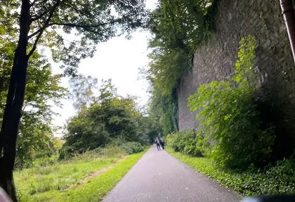
km 15.8 Photo: multimaze · CC BY-SA 4.0 · cropped -
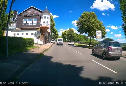
km 16.4 Photo: heetENkoel · CC BY-SA 4.0 · cropped -
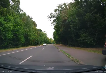
km 17.5 Photo: heetENkoel · CC BY-SA 4.0 · cropped -
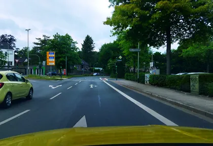
km 18.8 Photo: changchun1 · CC BY-SA 4.0 · cropped -
km 18.8 Around km 18.8 · 2 places BENURO ICE Cream, Schillerbrunnen
-
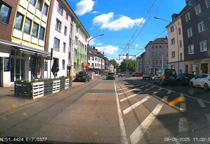
km 21.6 Photo: heetENkoel · CC BY-SA 4.0 · cropped
Ride this loop in the app
You’ll find the route in the app under Themed Routes — Radrunde guides you along it node by node.
- Guides you Node by node — you look at the signs, not at your screen
- Works without signal The network data is on your device — if you lose signal, your phone calculates the loop itself
- Free No account, no ads — the NRW network stays free for good

