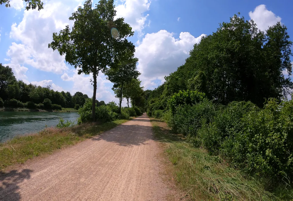
Themed route · Ruhr Area
Haltern, reservoir and four bridges
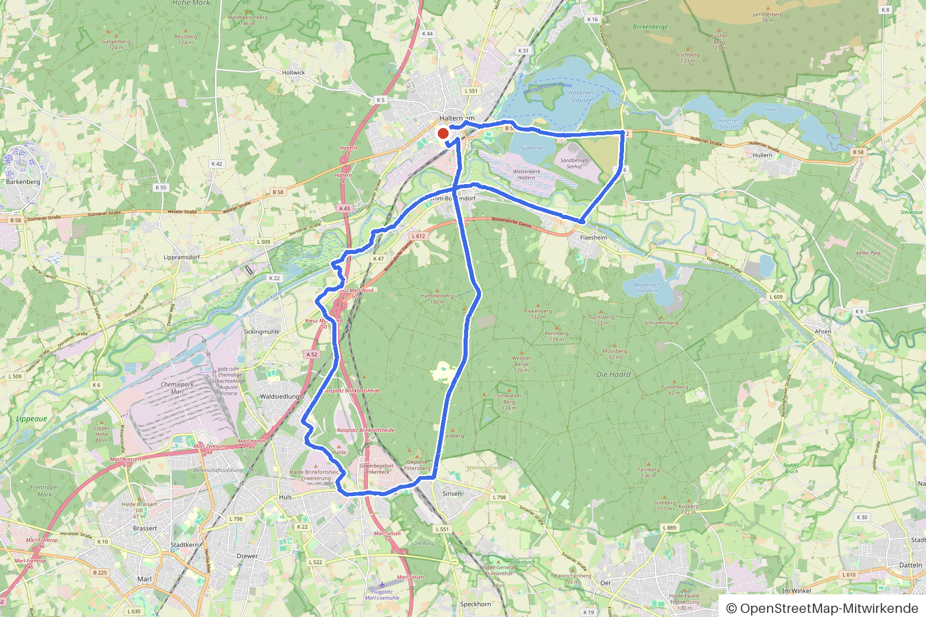
32 km approx. 2:06 h 160 hm Mostly asphalt
A curated route from the free Radrunde app — navigable node by node across the node network in the app.
32 kilometres around the Haltern reservoir — over four bridges, through woodland and an avenue, with cafés and beer gardens along the way.
The route
You start in Haltern. You cross the Lippe, the Wesel-Datteln-Kanal, Silvertbach and Stever — four bridges characterise this route. The route is undulating, 160 metres of climbing over 32 kilometres, two thirds on asphalt, the rest on gravel. Along the way you'll find two churches, several monuments and, if you fancy a break, the cafés Malzers, Brinkert and Extrablatt or the beer gardens Bikertreff Vogel and Jupp am See. An avenue accompanies you on the way.
- Distance
- 32 km
- Ascent
- 160 m
- Riding time
- approx. 2:06 h
- Surface
- Mostly asphalt
Along the route
km 0.0Start
In the app-
km 0.2 Mahnmal für die Opfer des Germanwings-Flugs 4U9525 Monument
-
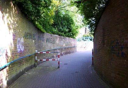
km 0.7 Photo: ankeric · CC BY-SA 4.0 · cropped -
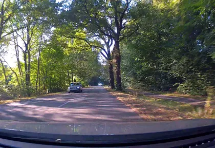
km 3.2 Photo: poxonline · CC BY-SA 4.0 · cropped -
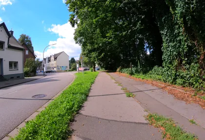
km 9 Photo: geogladbecker · CC BY-SA 4.0 · cropped -
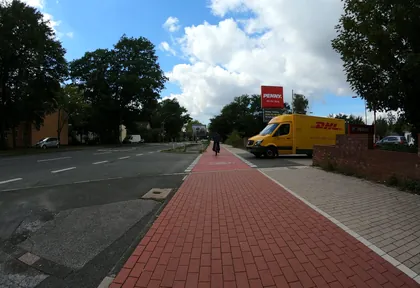
km 9.6 Photo: geogladbecker · CC BY-SA 4.0 · cropped -
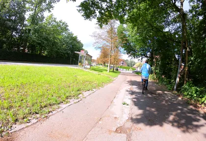
km 11 Photo: geogladbecker · CC BY-SA 4.0 · cropped -
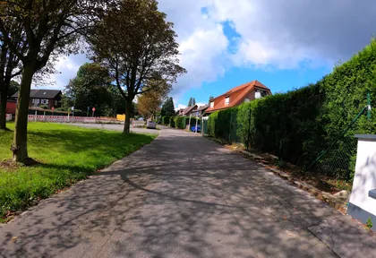
km 11.1 Photo: geogladbecker · CC BY-SA 4.0 · cropped -
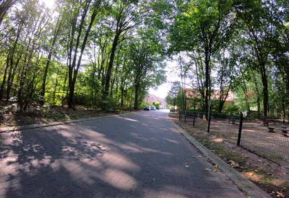
km 12.8 Photo: geogladbecker · CC BY-SA 4.0 · cropped -
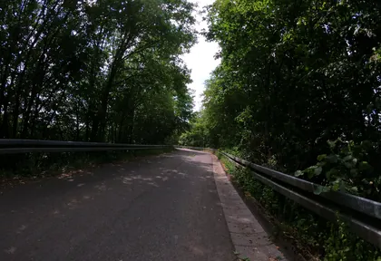
km 19.7 Photo: geogladbecker · CC BY-SA 4.0 · cropped -
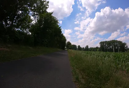
km 20.4 Photo: geogladbecker · CC BY-SA 4.0 · cropped -
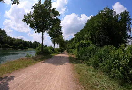
km 21 Photo: geogladbecker · CC BY-SA 4.0 · cropped -
km 21.7 Katharinen-Kapelle Church
-
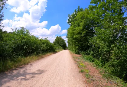
km 23 Photo: geogladbecker · CC BY-SA 4.0 · cropped -
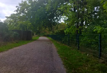
km 30 Photo: changchun1 · CC BY-SA 4.0 · cropped -
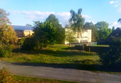
km 30.6 Photo: changchun1 · CC BY-SA 4.0 · cropped -
km 31.2 St. Sixtus Church
Ride this loop in the app
You’ll find the route in the app under Themed Routes — Radrunde guides you along it node by node.
- Guides you Node by node — you look at the signs, not at your screen
- Works without signal The network data is on your device — if you lose signal, your phone calculates the loop itself
- Free No account, no ads — the NRW network stays free for good

