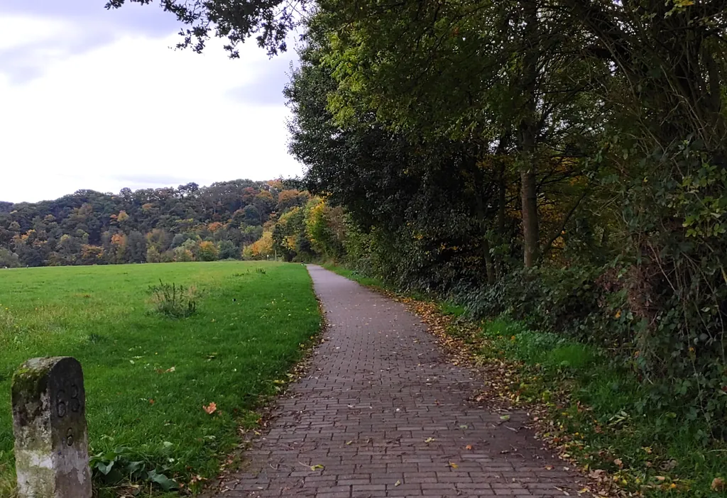
Themed route · Ruhr Area
Hattingen, Ruhr and Industrial Museums
35 km approx. 2:20 h 297 hm Mostly asphalt
A curated route from the free Radrunde app — navigable node by node across the node network in the app.
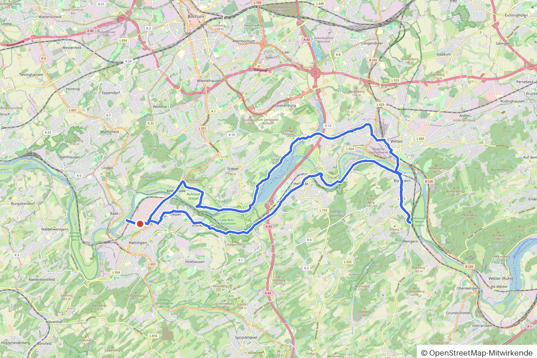
35 kilometres through Hattingen and the Ruhr valley — across six bridges, past monuments and industrial museums.
The route
You start in Hattingen and ride a rolling loop over predominantly asphalt. Along the way you cross the Sprockhöveler Bach, the Ruhr and several other waterways, passing Haus Witten and Schloss Steinhausen. The route takes you past seven churches and monuments such as Pilgrims höh' and the Germania-Denkmal. If you fancy a break, you'll find several cafés and ice cream cafés along the way — or you can visit the Stadtmuseum Hattingen, the LWL-Industriemuseum Zeche Nachtigall or the Gruben- und Feldbahnmuseum.
- Distance
- 35 km
- Ascent
- 297 m
- Riding time
- approx. 2:20 h
- Surface
- Mostly asphalt
Along the route
km 0.0Start
In the app-
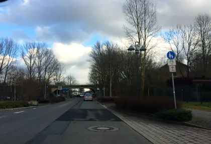
km 0.2 Photo: ziltoidium · CC BY-SA 4.0 · cropped -
km 1.7 Lieblingseis Ice cream parlour
-
km 3.6 CaféZ Ice cream parlour
-
km 8.4 Photo: reclus · CC BY-SA 4.0 · cropped -
km 8.6 Eiscafe San Remo Ice cream parlour
-
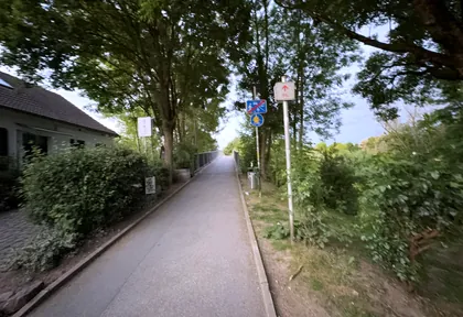
km 9.1 Photo: 010200192 · CC BY-SA 4.0 · cropped -
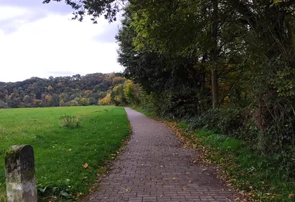
km 9.6 Photo: gRaSmOnStEr · CC BY-SA 4.0 · cropped -
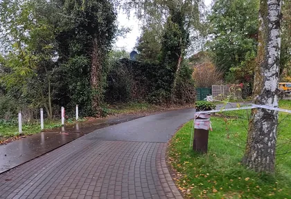
km 10.1 Photo: gRaSmOnStEr · CC BY-SA 4.0 · cropped -
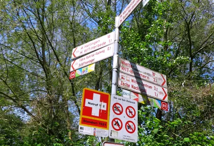
km 10.5 Photo: reclus · CC BY-SA 4.0 · cropped -
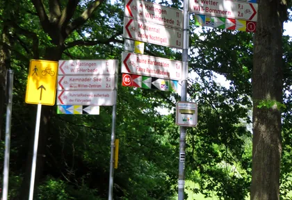
km 11.7 Photo: reclus · CC BY-SA 4.0 · cropped -
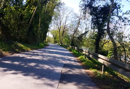
km 12.2 Photo: changchun1 · CC BY-SA 4.0 · cropped -
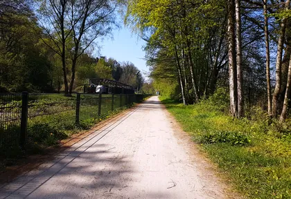
km 12.6 Photo: changchun1 · CC BY-SA 4.0 · cropped -
km 14.1 Eiscafé La Tomina Ice cream parlour
-
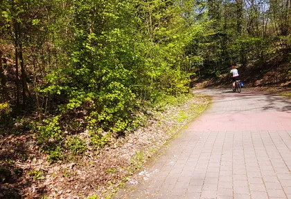
km 15.5 Photo: changchun1 · CC BY-SA 4.0 · cropped -
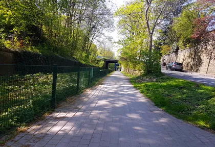
km 17.8 Photo: changchun1 · CC BY-SA 4.0 · cropped -
km 20 St. Franziskus Church
-
km 22.7 Photo: kalcaaro · CC BY-SA 4.0 · cropped -
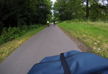
km 25.6 Photo: mfa · CC BY-SA 4.0 · cropped -
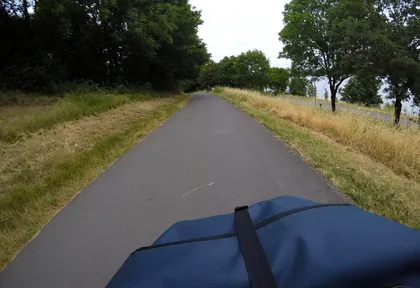
km 26.6 Photo: mfa · CC BY-SA 4.0 · cropped -
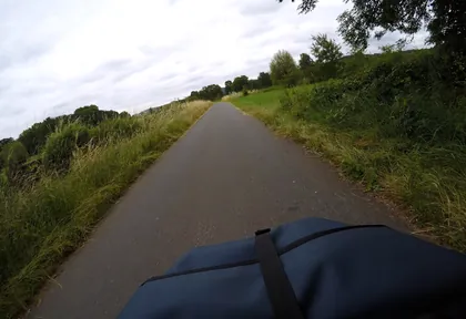
km 28.8 Photo: mfa · CC BY-SA 4.0 · cropped -
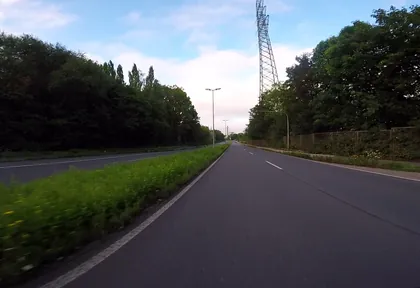
km 32.8 Photo: bravewaffle · CC BY-SA 4.0 · cropped
Ride this loop in the app
You’ll find the route in the app under Themed Routes — Radrunde guides you along it node by node.
- Guides you Node by node — you look at the signs, not at your screen
- Works without signal The network data is on your device — if you lose signal, your phone calculates the loop itself
- Free No account, no ads — the NRW network stays free for good

