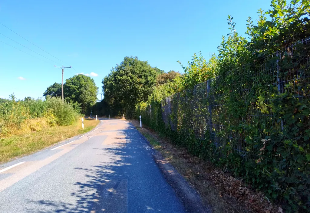
Themed route · Münsterland
Hoerstel, Canals and Mills
35 km approx. 2:21 h 85 hm Mostly asphalt
A curated route from the free Radrunde app — navigable node by node across the node network in the app.
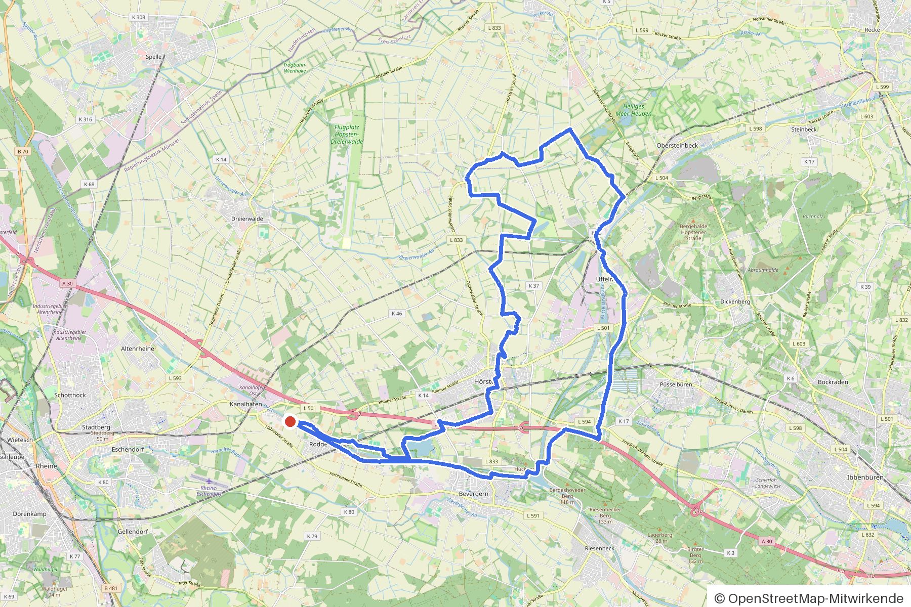
35 kilometres from Hoerstel — across two canals, through woodland and tree-lined avenue, with two mills and a museum.
The route
You start in Hoerstel. You cross the Dortmund-Ems-Kanal, the Mittellandkanal and the Hoersteler Aa, pass the Bockbach and roll along asphalt and gravel through woodland. A tree-lined avenue accompanies you on the route. Along the way you'll find the Klostermühle and Knollmanns Mühle, the DA Kunsthaus Kloster Gravenhorst, the Christus König Kapelle and the Aussichtspunkt Schleuse Bevergern. If you fancy a break: rest areas at Igelnest, at the Treidelplatz and at Selbst, plus the Cafe Clara and the Eisdiele da Vito.
- Distance
- 35 km
- Ascent
- 85 m
- Riding time
- approx. 2:21 h
- Surface
- Mostly asphalt
Along the route
km 0.0Start
In the app-
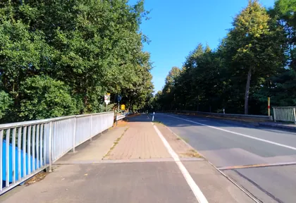
km 4.1 Photo: polyglot · CC BY-SA 4.0 · cropped -
km 5 Aussichtspunkt Schleuse Bevergern Viewpoint
-
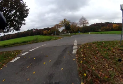
km 6.8 Photo: GlitchHunter · CC BY-SA 4.0 · cropped -
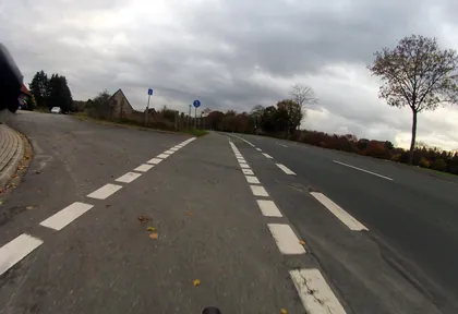
km 7.2 Photo: GlitchHunter · CC BY-SA 4.0 · cropped -
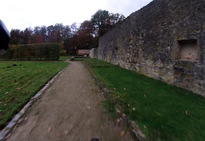
km 8.8 Photo: GlitchHunter · CC BY-SA 4.0 · cropped -
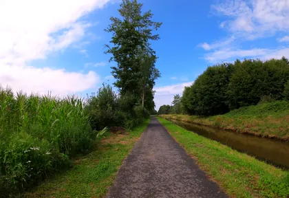
km 9.2 Photo: VIA_KK · CC BY-SA 4.0 · cropped -
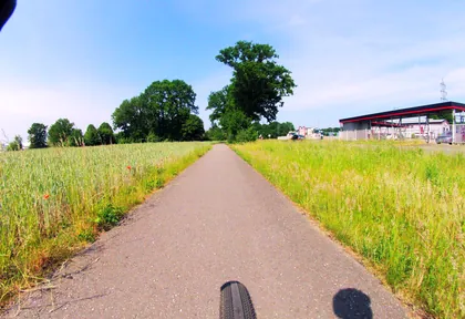
km 11.4 Photo: GlitchHunter · CC BY-SA 4.0 · cropped -
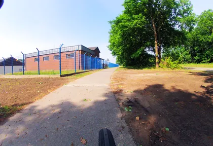
km 11.6 Photo: GlitchHunter · CC BY-SA 4.0 · cropped -
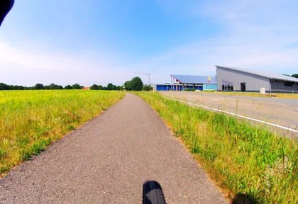
km 12 Photo: GlitchHunter · CC BY-SA 4.0 · cropped -
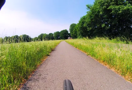
km 12.6 Photo: GlitchHunter · CC BY-SA 4.0 · cropped -
km 20 Christus König Kapelle Church
-
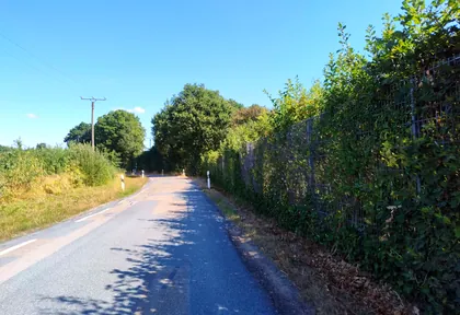
km 22.2 Photo: polyglot · CC BY-SA 4.0 · cropped -
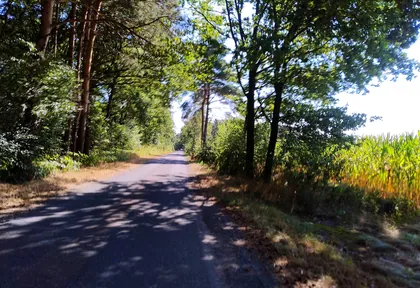
km 23 Photo: polyglot · CC BY-SA 4.0 · cropped -
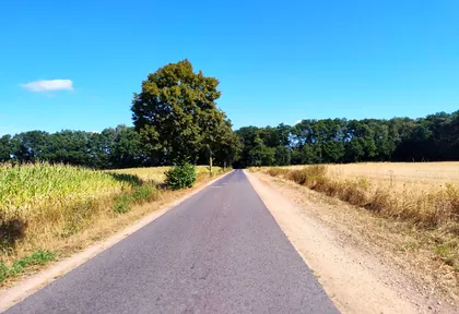
km 23.4 Photo: polyglot · CC BY-SA 4.0 · cropped -
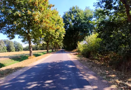
km 24 Photo: polyglot · CC BY-SA 4.0 · cropped -
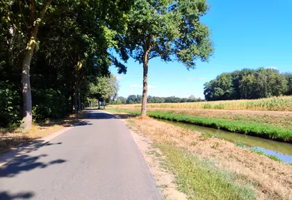
km 24.6 Photo: polyglot · CC BY-SA 4.0 · cropped -
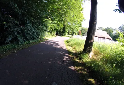
km 25.6 Photo: GlitchHunter · CC BY-SA 4.0 · cropped -
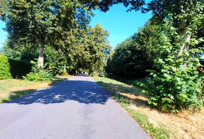
km 26.8 Photo: polyglot · CC BY-SA 4.0 · cropped -
km 27.9 Eisdiele da Vito Ice cream parlour
-
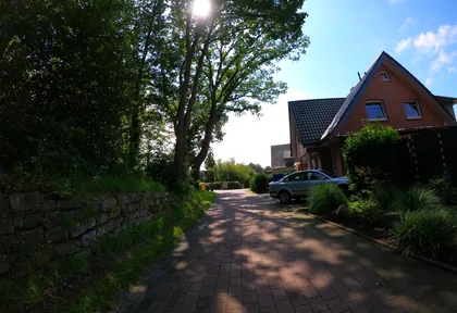
km 28.4 Photo: VIA_KK · CC BY-SA 4.0 · cropped -
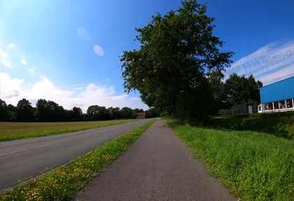
km 29.4 Photo: VIA_KK · CC BY-SA 4.0 · cropped -
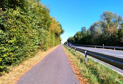
km 30.1 Photo: polyglot · CC BY-SA 4.0 · cropped -
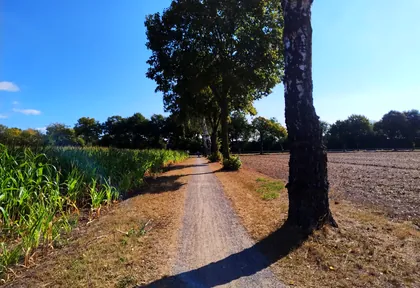
km 30.4 Photo: polyglot · CC BY-SA 4.0 · cropped -
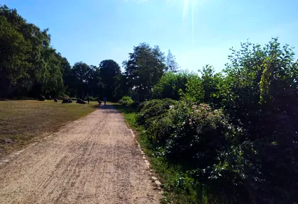
km 31 Photo: polyglot · CC BY-SA 4.0 · cropped -
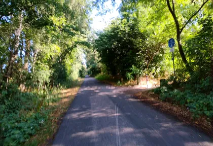
km 31.4 Photo: polyglot · CC BY-SA 4.0 · cropped -
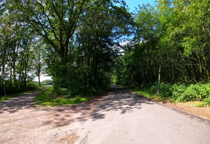
km 32.2 Photo: VIA_KK · CC BY-SA 4.0 · cropped -
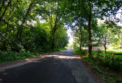
km 33 Photo: VIA_KK · CC BY-SA 4.0 · cropped -
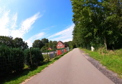
km 33.6 Photo: VIA_KK · CC BY-SA 4.0 · cropped -
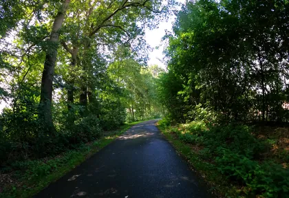
km 34.6 Photo: VIA_KK · CC BY-SA 4.0 · cropped -
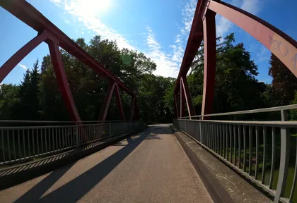
km 35 Photo: VIA_KK · CC BY-SA 4.0 · cropped
Ride this loop in the app
You’ll find the route in the app under Themed Routes — Radrunde guides you along it node by node.
- Guides you Node by node — you look at the signs, not at your screen
- Works without signal The network data is on your device — if you lose signal, your phone calculates the loop itself
- Free No account, no ads — the NRW network stays free for good

