Themed route · East Westphalia-Lippe
Hüllhorst, Mittellandkanal and Wiehengebirge
36 km approx. 2:22 h 305 hm Mostly asphalt
A curated route from the free Radrunde app — navigable node by node across the node network in the app.
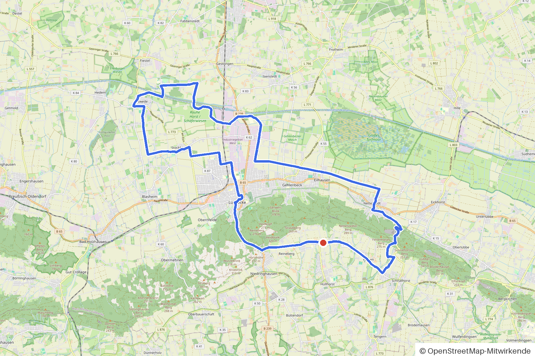
36 kilometres from Hüllhorst — rolling terrain over Mittellandkanal and Flöthe, with an avenue and four churches.
The route
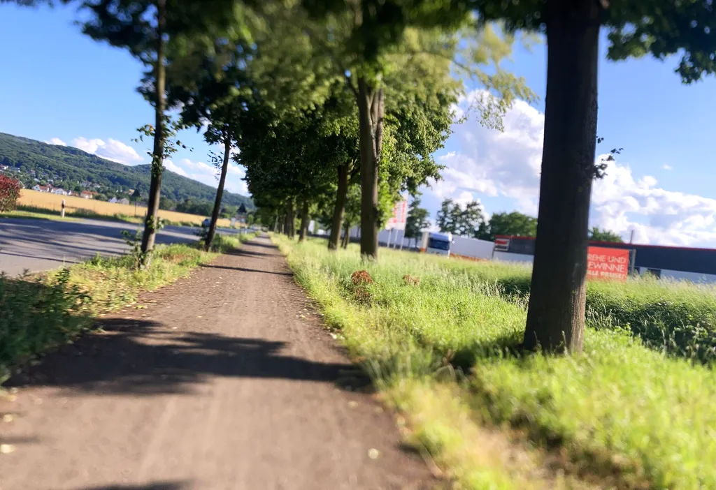
You start in Hüllhorst. You cross the Mittellandkanal and the Flöthe, pass through Ronceva, Blasheimer Bach and Jägerbach. The route is rolling — 305 metres of climbing over 36 kilometres, almost entirely on asphalt. Along the way you'll find four churches, Brauereimuseum Barre's Brauwelt, Gut Stockhausen and an avenue. If you fancy a break, you'll find several cafés and the ice cream shop Pacini.
- Distance
- 36 km
- Ascent
- 305 m
- Riding time
- approx. 2:22 h
- Surface
- Mostly asphalt
Along the route
km 0.0Start
In the app-
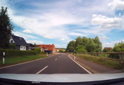
km 1 Photo: Schmarvis · CC BY-SA 4.0 · cropped -
km 4.1 Brauereimuseum Barre's Brauwelt Museum
-
km 5.1 Eiscafé Pacini Ice cream parlour
-
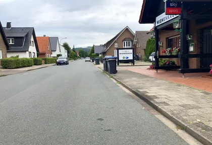
km 7.3 Photo: Carsten_L · CC BY-SA 4.0 · cropped -
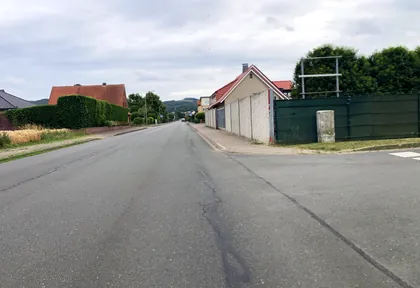
km 7.6 Photo: Carsten_L · CC BY-SA 4.0 · cropped -
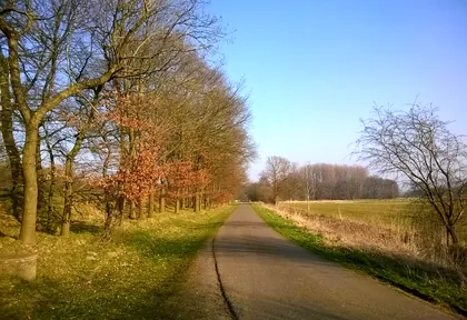
km 14.2 Photo: mapillary_service · CC BY-SA 4.0 · cropped -
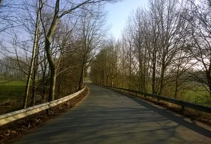
km 14.8 Photo: mapillary_service · CC BY-SA 4.0 · cropped -
km 15.4 Die Rentei Café
-
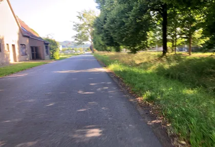
km 21.2 Photo: Carsten_L · CC BY-SA 4.0 · cropped -
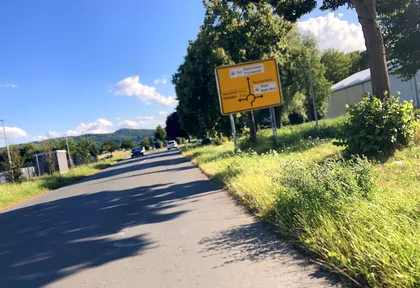
km 21.4 Photo: Carsten_L · CC BY-SA 4.0 · cropped -
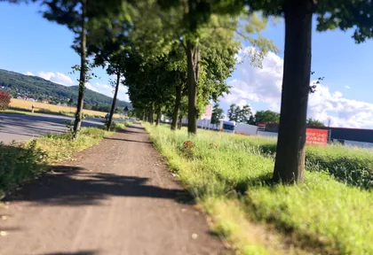
km 22 Photo: Carsten_L · CC BY-SA 4.0 · cropped -
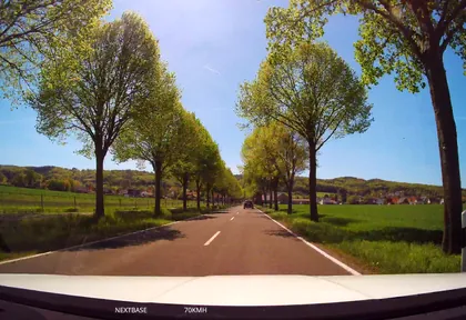
km 23.6 Photo: Schmarvis · CC BY-SA 4.0 · cropped -
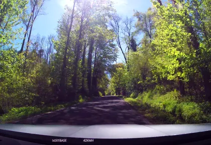
km 30.6 Photo: Schmarvis · CC BY-SA 4.0 · cropped -
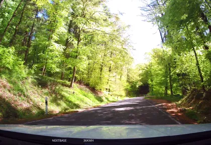
km 31 Photo: Schmarvis · CC BY-SA 4.0 · cropped -
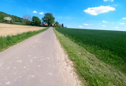
km 31.8 Photo: mapiman · CC BY-SA 4.0 · cropped -
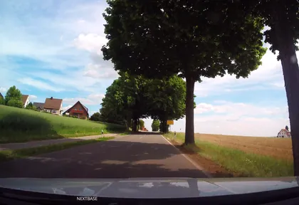
km 34 Photo: Schmarvis · CC BY-SA 4.0 · cropped -
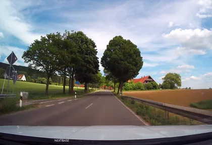
km 35.2 Photo: Schmarvis · CC BY-SA 4.0 · cropped
Ride this loop in the app
You’ll find the route in the app under Themed Routes — Radrunde guides you along it node by node.
- Guides you Node by node — you look at the signs, not at your screen
- Works without signal The network data is on your device — if you lose signal, your phone calculates the loop itself
- Free No account, no ads — the NRW network stays free for good

