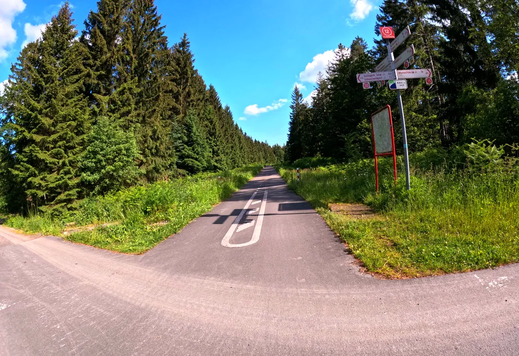
Themed route · Aachen & Eifel
Hürtgenwald, Lammersdorf and four bridges
27 km approx. 1:48 h 427 hm Mostly asphalt
A curated route from the free Radrunde app — navigable node by node across the node network in the app.
Hilly 27 kilometres through forest and over four bridges — with a viewpoint and a farm museum.
The route
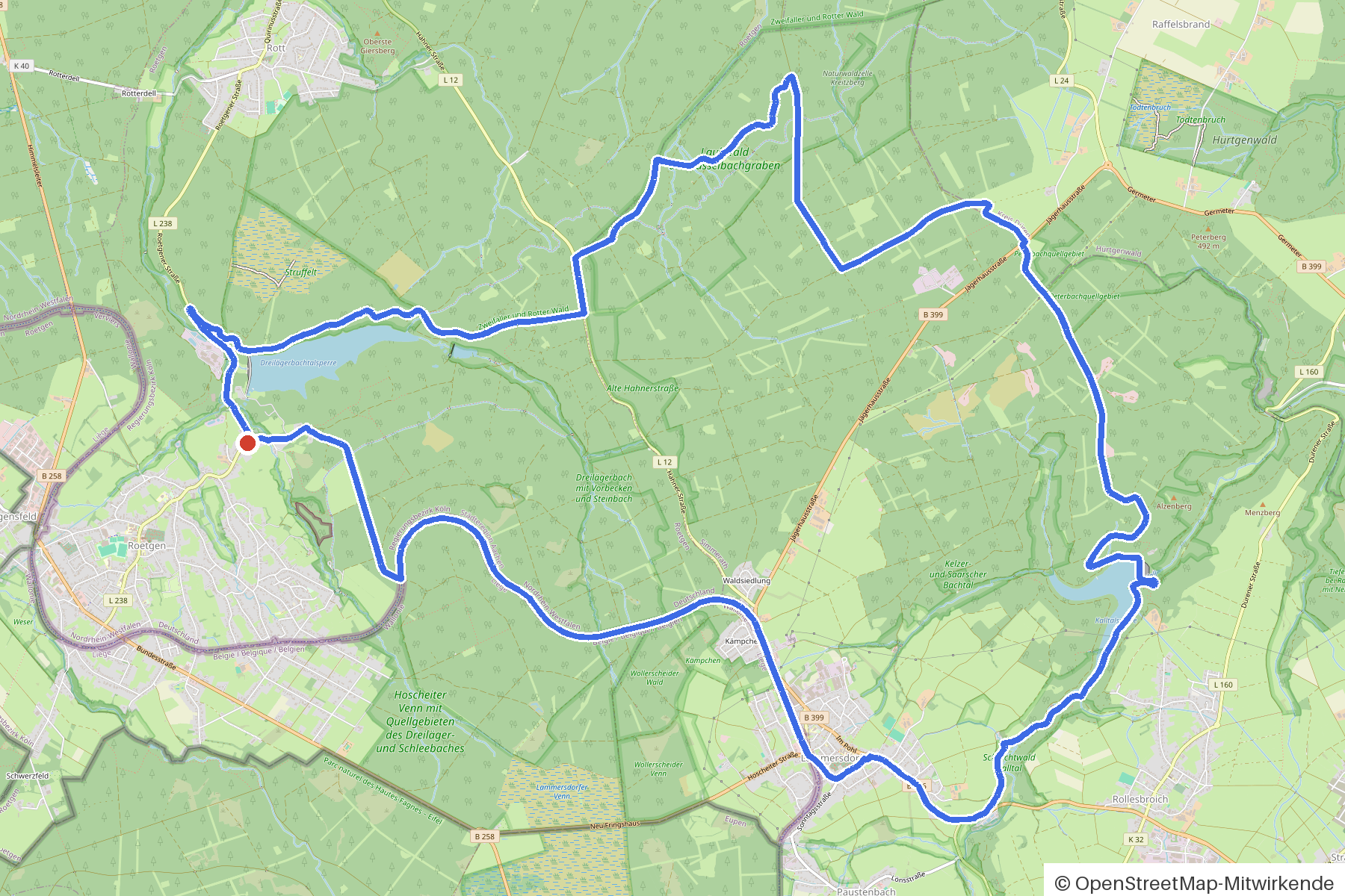
You start in Hürtgenwald. You cross Schleebach, Kall, Hasselbachgraben and Dreilägerbach and pass Dreilägerbach, Kelzer Bach, Heilkuhlbach, Kall and Hasselbach along the way. The route is hilly — 427 metres of elevation gain over 27 kilometres, mostly on asphalt, partly on gravel. Along the way you'll find the Eifel-Blick Jägerhaus, the Bauernmuseum, several churches and chapels, and two memorials.
- Distance
- 27 km
- Ascent
- 427 m
- Riding time
- approx. 1:48 h
- Surface
- Mostly asphalt
Along the route
km 0.0Start
In the app-
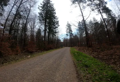
km 0.6 Photo: plexi32 · CC BY-SA 4.0 · cropped -
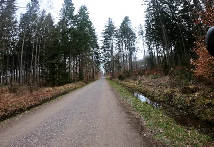
km 1.3 Photo: plexi32 · CC BY-SA 4.0 · cropped -
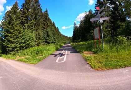
km 2 Photo: madel · CC BY-SA 4.0 · cropped -
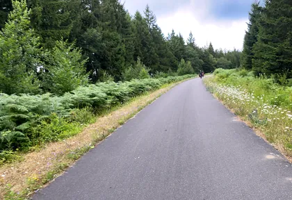
km 2.2 Photo: Nicolas1030 · CC BY-SA 4.0 · cropped -
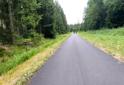
km 3.8 Photo: Nicolas1030 · CC BY-SA 4.0 · cropped -
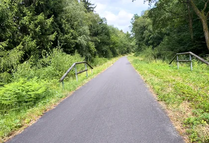
km 5.2 Photo: Nicolas1030 · CC BY-SA 4.0 · cropped -
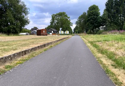
km 6.8 Photo: Nicolas1030 · CC BY-SA 4.0 · cropped -
km 6.9 Bauernmuseum Museum
-
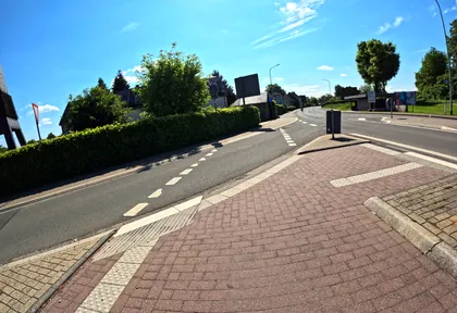
km 7 Photo: madel · CC BY-SA 4.0 · cropped -
km 7.6 Around km 7.6 · 2 places Kapelle Otto-Junker-Platz, Bruchsteinkapelle
-
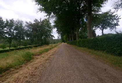
km 8.4 Photo: hektor1989 · CC BY-SA 4.0 · cropped -
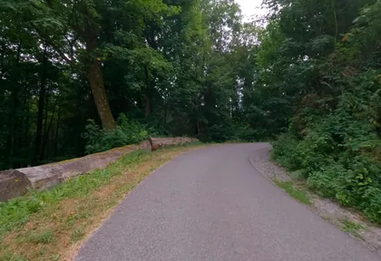
km 9.4 Photo: hektor1989 · CC BY-SA 4.0 · cropped -
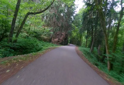
km 10.2 Photo: hektor1989 · CC BY-SA 4.0 · cropped -
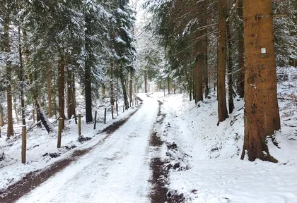
km 12 Photo: jeroenrozema74 · CC BY-SA 4.0 · cropped -
km 15.7 Eifel-Blick Jägerhaus Viewpoint
-
km 26.7 Weltkriegsmahnmal Monument
Ride this loop in the app
You’ll find the route in the app under Themed Routes — Radrunde guides you along it node by node.
- Guides you Node by node — you look at the signs, not at your screen
- Works without signal The network data is on your device — if you lose signal, your phone calculates the loop itself
- Free No account, no ads — the NRW network stays free for good

