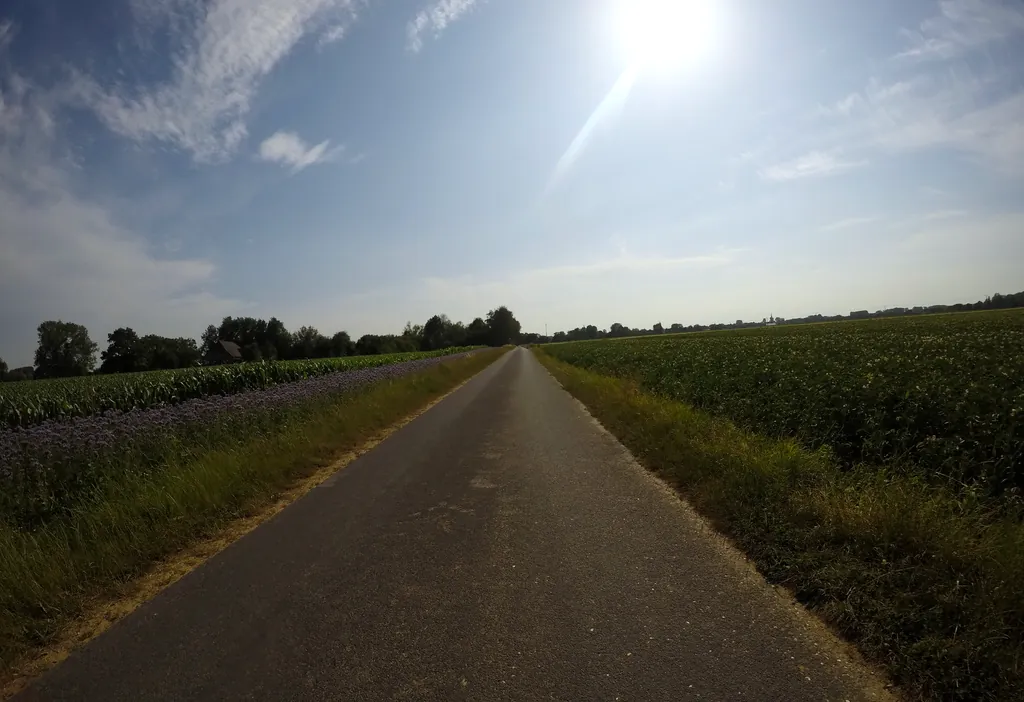
Themed route · Lower Rhine
Kalkar, Grieth and Rhine Dyke
25 km approx. 1:41 h 59 hm Mostly asphalt
A curated route from the free Radrunde app — navigable node by node across the node network in the app.
25 kilometres from Kalkar — across the Rhine, along an avenue, with six churches and museums along the way.
The route
You start in Kalkar. You cross the Rhine bridge and then roll over the Leybach, pass through Kalflack, Connesgraben and Stadtgraben. The route takes you past an avenue and stays almost entirely on asphalt. Along the way you'll find the St. Clemens Basilika, five more churches, the Kalkarer Mühle, Haus Kemnade and three museums. If you fancy a break: Café Kemnade, Griether Hanselädchen, De Deichgräf, Mango, Glüxxklee or the Eis Café Venezia.
- Distance
- 25 km
- Ascent
- 59 m
- Riding time
- approx. 1:41 h
- Surface
- Mostly asphalt
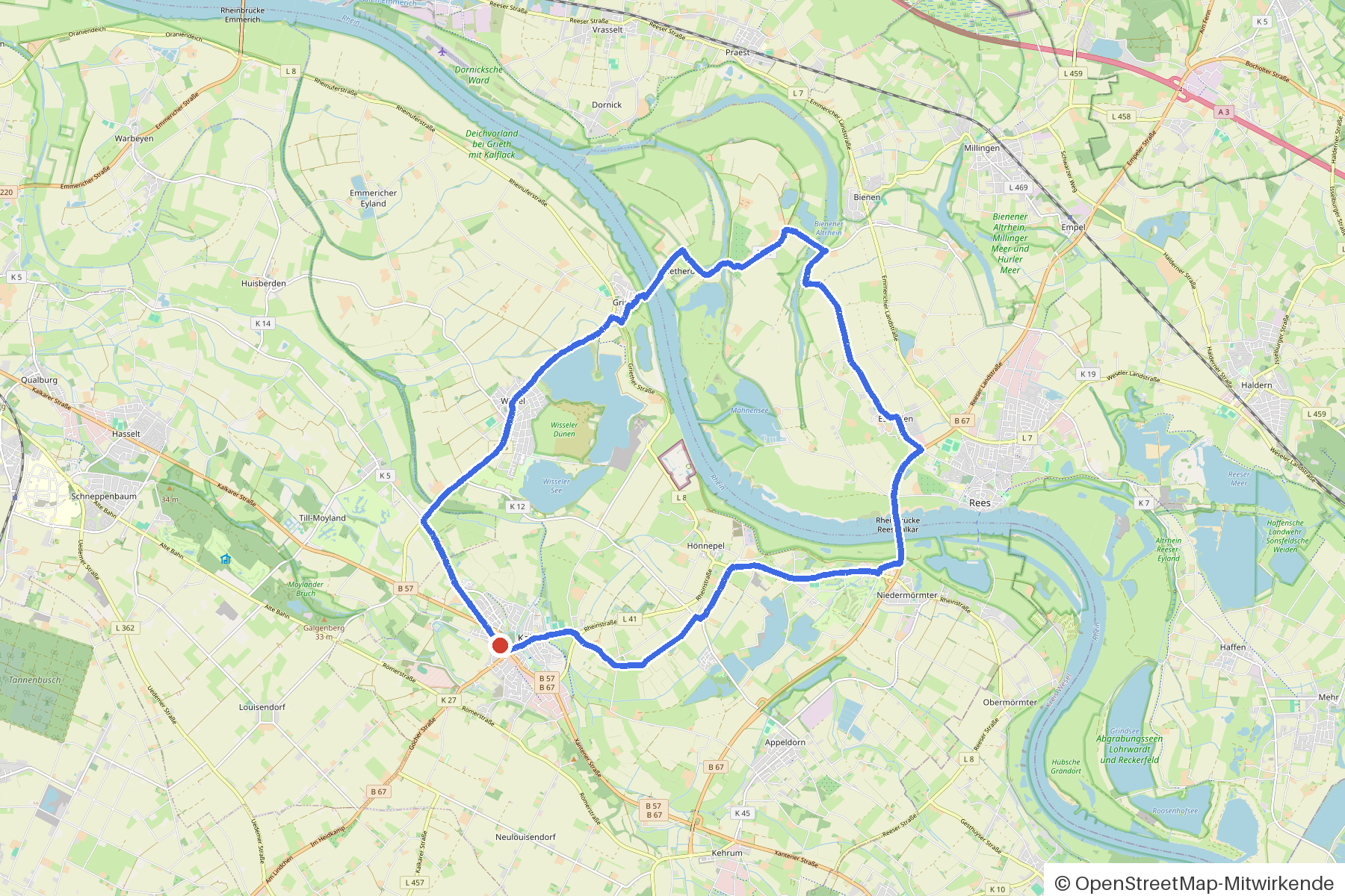
Along the route
km 0.0Start
In the app-
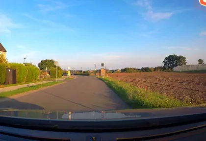
km 1.1 Photo: poxonline · CC BY-SA 4.0 · cropped -
km 4.7 St. Clemens Basilika Church
-
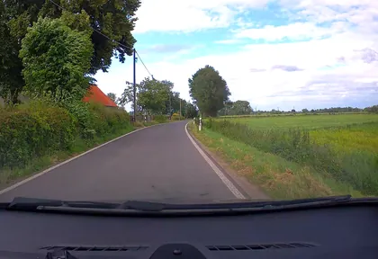
km 8.6 Photo: poxonline · CC BY-SA 4.0 · cropped -
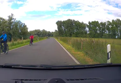
km 9.4 Photo: poxonline · CC BY-SA 4.0 · cropped -
km 9.9 St.Irmgardis Church
-
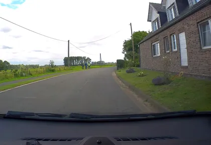
km 10.8 Photo: poxonline · CC BY-SA 4.0 · cropped -
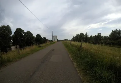
km 12.2 Photo: sirix · CC BY-SA 4.0 · cropped -
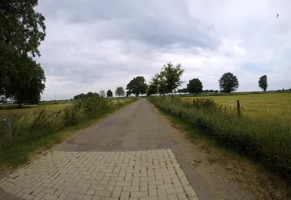
km 12.4 Photo: sirix · CC BY-SA 4.0 · cropped -
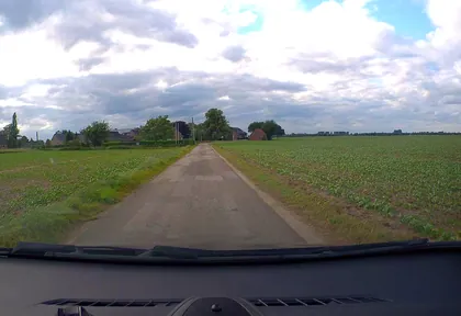
km 14 Photo: poxonline · CC BY-SA 4.0 · cropped -
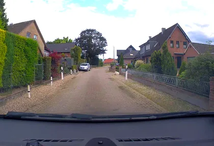
km 14.8 Photo: poxonline · CC BY-SA 4.0 · cropped -
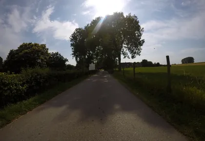
km 18 Photo: sirix · CC BY-SA 4.0 · cropped -
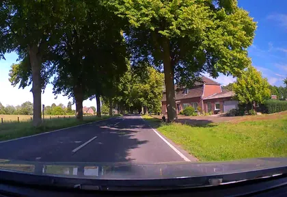
km 18.8 Photo: poxonline · CC BY-SA 4.0 · cropped -
km 21 Photo: sirix · CC BY-SA 4.0 · cropped -
km 21.4 Photo: sirix · CC BY-SA 4.0 · cropped -
km 22 Photo: sirix · CC BY-SA 4.0 · cropped -
km 22.8 Photo: sirix · CC BY-SA 4.0 · cropped -
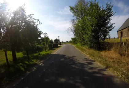
km 23.2 Photo: sirix · CC BY-SA 4.0 · cropped -
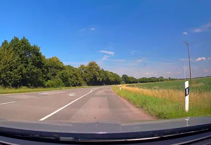
km 24 Photo: poxonline · CC BY-SA 4.0 · cropped -
km 24.8 Around the finish · 2 places Eis Café Venezia, St. Pankratius
Ride this loop in the app
You’ll find the route in the app under Themed Routes — Radrunde guides you along it node by node.
- Guides you Node by node — you look at the signs, not at your screen
- Works without signal The network data is on your device — if you lose signal, your phone calculates the loop itself
- Free No account, no ads — the NRW network stays free for good

