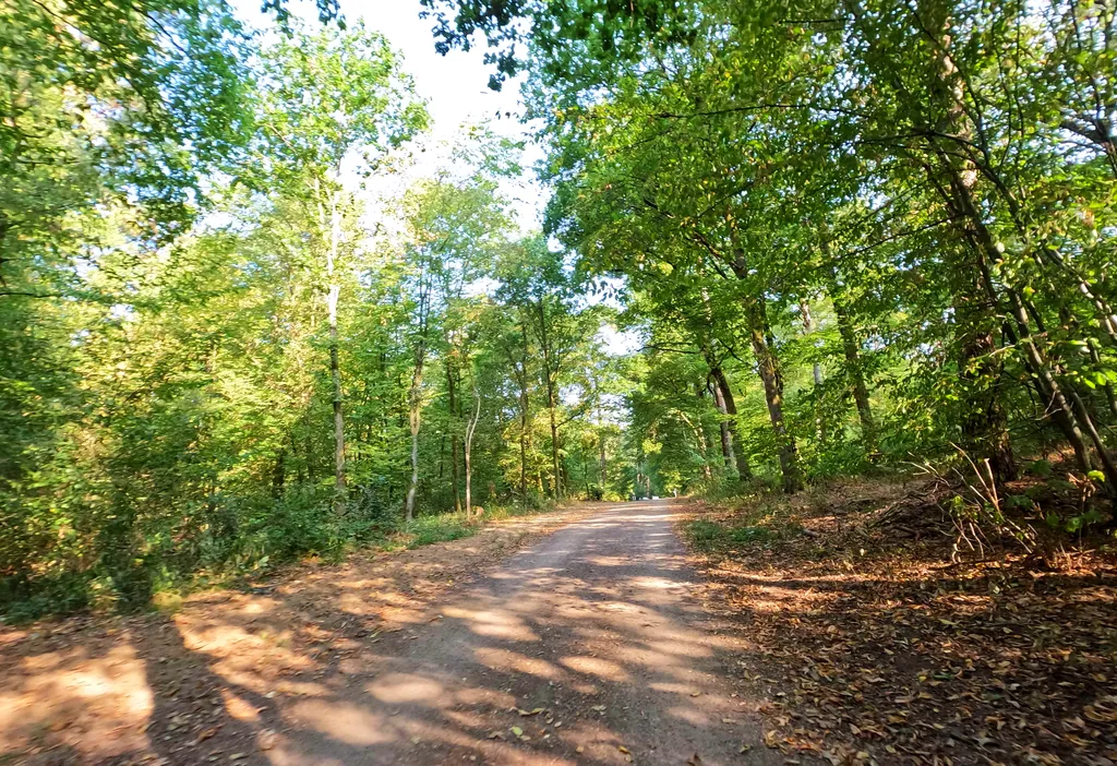
Themed route · Cologne/Bonn
Cologne, Königsforst and streams
40 km approx. 2:38 h 187 hm Mostly asphalt
A curated route from the free Radrunde app — navigable node by node across the node network in the app.
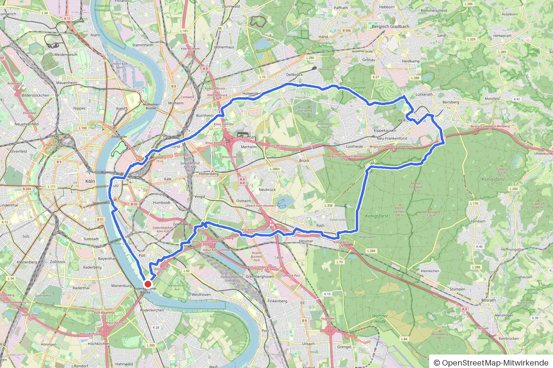
40 kilometres through Cologne parks and settlements — over Faulbach and Strunde, with an avenue and four churches.
The route
You start in Cologne and roll on a rolling route that takes you over asphalt, gravel and paving stones. Along the way you cross the Faulbach and the Strunde on bridges, plus seven more streams — Kemperbach, Saaler Mühlenbach, Frankenforstbach, Böttcher Bach, Holzer Bach, Flehbach and Sellbach. An avenue shapes the landscape. Four churches lie on the route, including the Alte Katholische Pfarrkirche Refrath and St. Cornelius. If you fancy a break, you'll find Café Antares, the Klausmann beer garden or one of the two ice cream cafés — Simitland or Piccola Gelateria.
- Distance
- 40 km
- Ascent
- 187 m
- Riding time
- approx. 2:38 h
- Surface
- Mostly asphalt
Along the route
km 0.0Start
In the app-
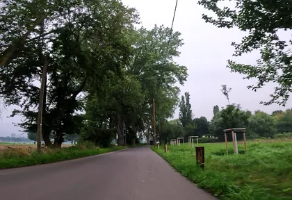
km 0.4 Photo: marccologne · CC BY-SA 4.0 · cropped -
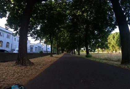
km 1.6 Photo: marccologne · CC BY-SA 4.0 · cropped -
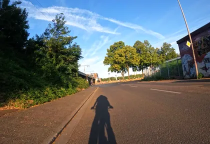
km 2.1 Photo: marccologne · CC BY-SA 4.0 · cropped -
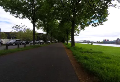
km 3 Photo: mapiman · CC BY-SA 4.0 · cropped -
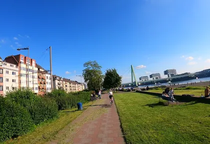
km 4.3 Photo: popball · CC BY-SA 4.0 · cropped -
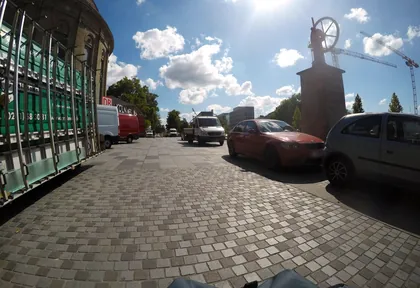
km 4.9 Photo: mfa · CC BY-SA 4.0 · cropped -
km 4.9 Nicolaus Otto & Eugen Langen Denkmal Monument
-
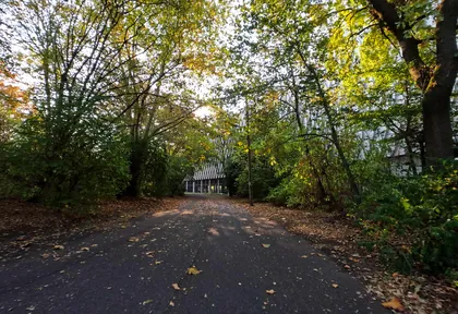
km 6.2 Photo: countzero5 · CC BY-SA 4.0 · cropped -
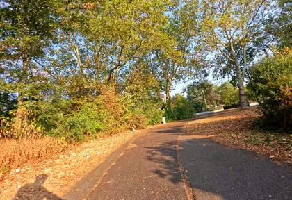
km 6.6 Photo: countzero5 · CC BY-SA 4.0 · cropped -
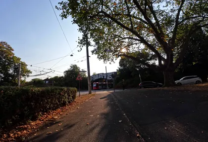
km 7 Photo: countzero5 · CC BY-SA 4.0 · cropped -
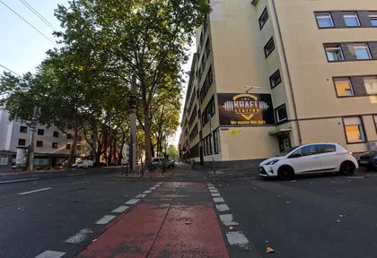
km 7.6 Photo: countzero5 · CC BY-SA 4.0 · cropped -
km 7.8 Simitland Ice cream parlour
-
km 8.6 Sonnenuhr Monument
-
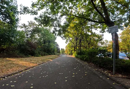
km 8.7 Photo: countzero5 · CC BY-SA 4.0 · cropped -
km 14.3 Hardtmühle Mill
-
km 17.2 Alte Katholische Pfarrkirche Refrath Church
-
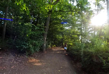
km 18 Photo: countzero5 · CC BY-SA 4.0 · cropped -
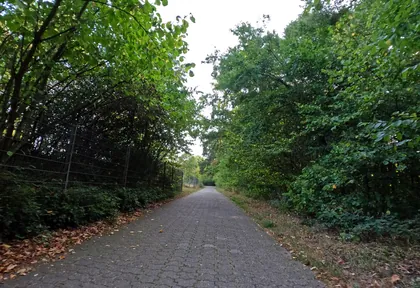
km 19.4 Photo: countzero5 · CC BY-SA 4.0 · cropped -
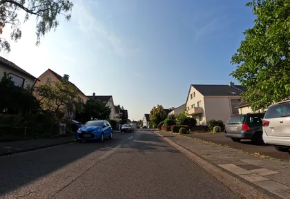
km 21 Photo: countzero5 · CC BY-SA 4.0 · cropped -
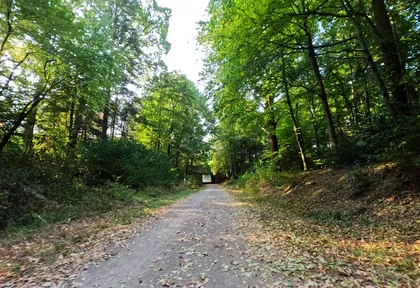
km 21.8 Photo: countzero5 · CC BY-SA 4.0 · cropped -
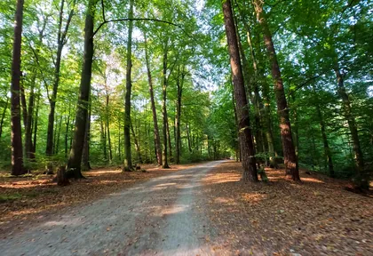
km 22.8 Photo: countzero5 · CC BY-SA 4.0 · cropped -
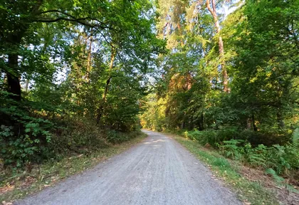
km 23.4 Photo: countzero5 · CC BY-SA 4.0 · cropped -
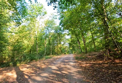
km 25.9 Photo: countzero5 · CC BY-SA 4.0 · cropped -
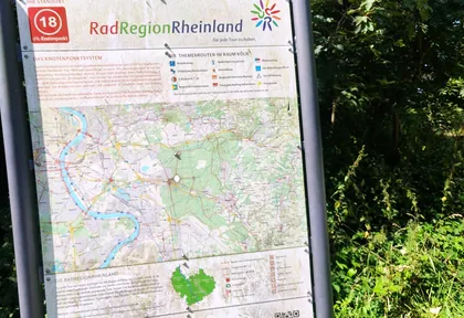
km 28 Photo: madonna100 · CC BY-SA 4.0 · cropped -
km 28.9 Eiscafe Piccola Gelateria Ice cream parlour
-
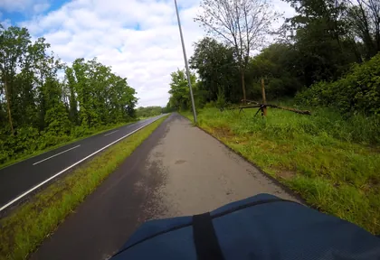
km 33.6 Photo: mfa · CC BY-SA 4.0 · cropped -
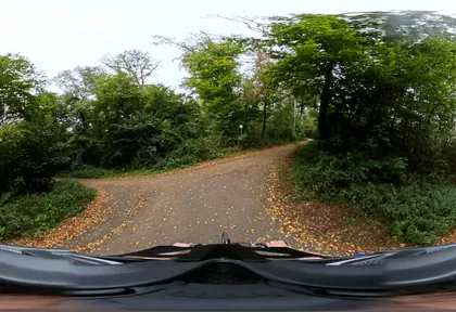
km 35.6 Photo: popball · CC BY-SA 4.0 · cropped -
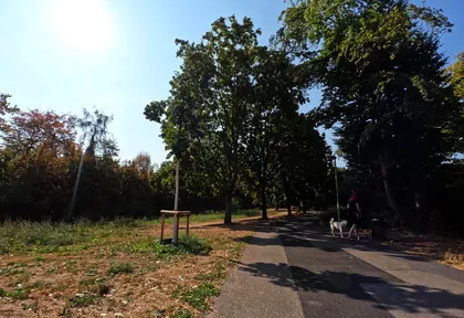
km 38.6 Photo: countzero5 · CC BY-SA 4.0 · cropped -
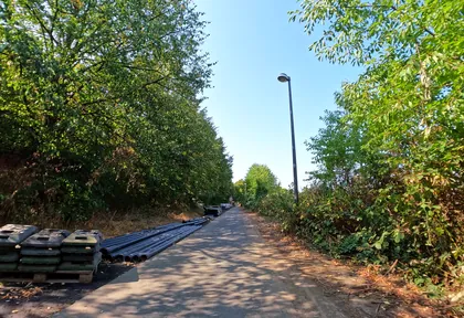
km 39.2 Photo: countzero5 · CC BY-SA 4.0 · cropped
Ride this loop in the app
You’ll find the route in the app under Themed Routes — Radrunde guides you along it node by node.
- Guides you Node by node — you look at the signs, not at your screen
- Works without signal The network data is on your device — if you lose signal, your phone calculates the loop itself
- Free No account, no ads — the NRW network stays free for good

