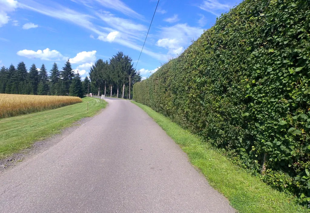
Themed route · Cologne/Bonn
Königswinter, Siegtal and Allee
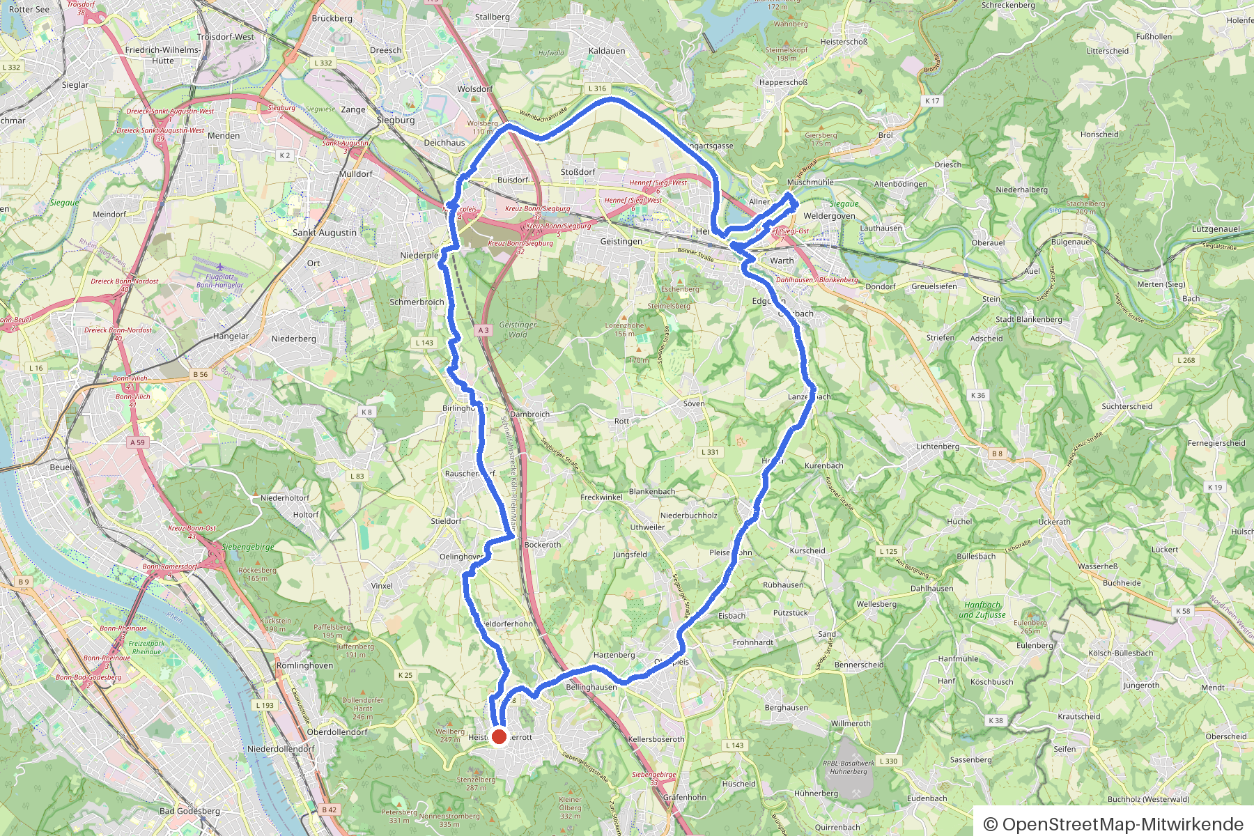
35 km approx. 2:21 h 354 hm Mostly asphalt
A curated route from the free Radrunde app — navigable node by node across the node network in the app.
35 kilometres through the Siegtal — hilly, with five bridges and an alley.
The route
You start in Königswinter. You cross several streams and bridges straight away: Pleisbach, Lüppigsbach, Hanfbach, Sieg and Lauterbach. The route is hilly — 354 metres of elevation gain over 35 kilometres — and takes you along an allee. Along the way you'll find six churches, a war memorial, and if you fancy a break, there are cafés like the Wild Child Familiencafé or Gilgen's, two ice cream cafés and the Poseidon beer garden.
- Distance
- 35 km
- Ascent
- 354 m
- Riding time
- approx. 2:21 h
- Surface
- Mostly asphalt
Along the route
km 0.0Start
In the app-
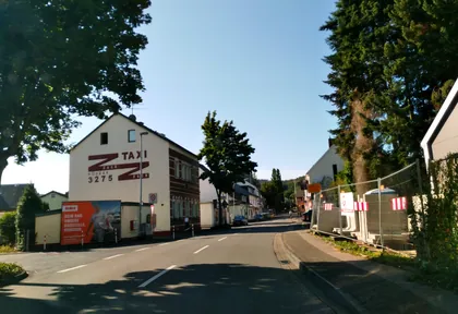
km 0.2 Photo: schwing · CC BY-SA 4.0 · cropped -
km 4.2 Eiscafé Biagio Ice cream parlour
-
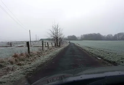
km 6.7 Photo: ps53773 · CC BY-SA 4.0 · cropped -
km 7.3 St. Michael Church
-
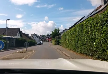
km 9.6 Photo: Feuerundwasser · CC BY-SA 4.0 · cropped -
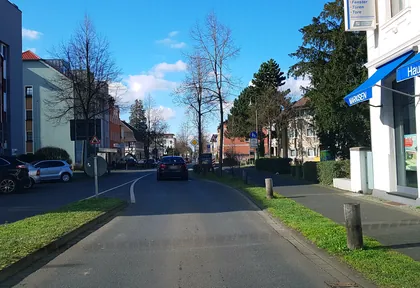
km 12.5 Photo: theoherkel · CC BY-SA 4.0 · cropped -
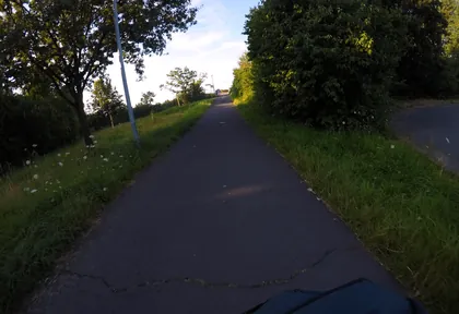
km 24 Photo: mfa · CC BY-SA 4.0 · cropped -
km 24.1 St. Martinus Church
-
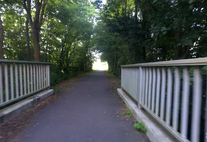
km 24.4 Photo: VIA_DT · CC BY-SA 4.0 · cropped -
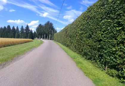
km 25 Photo: VIA_DT · CC BY-SA 4.0 · cropped -
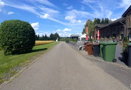
km 25.1 Photo: VIA_DT · CC BY-SA 4.0 · cropped -
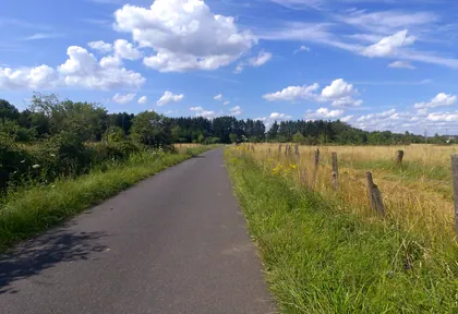
km 25.4 Photo: VIA_DT · CC BY-SA 4.0 · cropped -
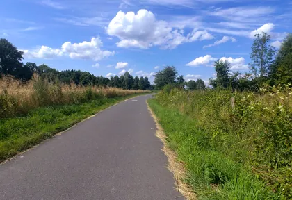
km 26.2 Photo: VIA_DT · CC BY-SA 4.0 · cropped -
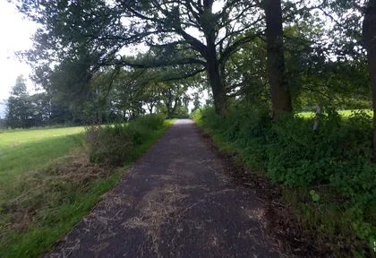
km 27 Photo: VIA_DT · CC BY-SA 4.0 · cropped -
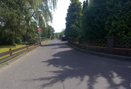
km 27.4 Photo: VIA_DT · CC BY-SA 4.0 · cropped -
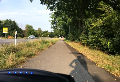
km 28.3 Photo: nohn · CC BY-SA 4.0 · cropped
Ride this loop in the app
You’ll find the route in the app under Themed Routes — Radrunde guides you along it node by node.
- Guides you Node by node — you look at the signs, not at your screen
- Works without signal The network data is on your device — if you lose signal, your phone calculates the loop itself
- Free No account, no ads — the NRW network stays free for good

