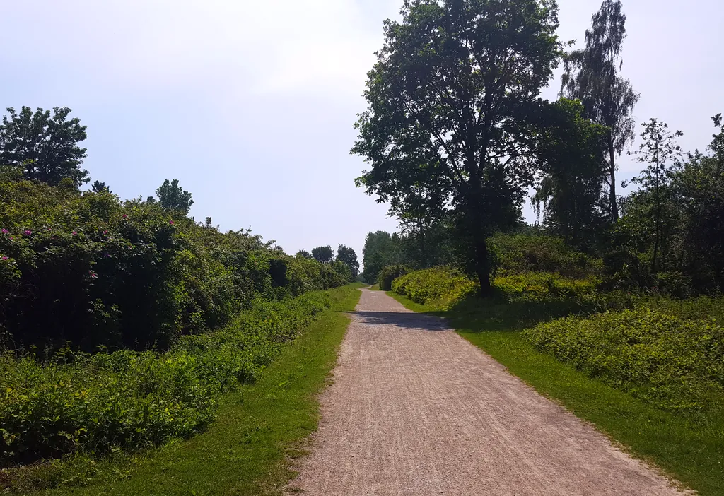
Themed route · Münsterland
Lüdinghausen, Stever and Lippe
44 km approx. 2:55 h 193 hm Mostly asphalt
A curated route from the free Radrunde app — navigable node by node across the node network in the app.
44 kilometres through woodland and fields from Lüdinghausen — rolling terrain, with tree-lined avenue and three bridges.
The route
You start in Lüdinghausen. You ride mostly on asphalt through a wooded area, crossing Mahlenburggraben, Gernebach and Mühlenbach, crossing bridges over Stever, Lippe and Mühlenbach. Along the way you pass Füchtelner Mühle, Naturparkhaus Steveraue, two churches and two memorials — the Mahnmal für die Opfer des Märzaufstandes 1920 and Gerichtsstätte Dingerfeld. The route is rolling with 193 metres of elevation gain over 44 kilometres. If you fancy a break, you'll find picnic spots at Füchtelner Mühle, at Naturbad Olfen and in Dingerfeld.
- Distance
- 44 km
- Ascent
- 193 m
- Riding time
- approx. 2:55 h
- Surface
- Mostly asphalt
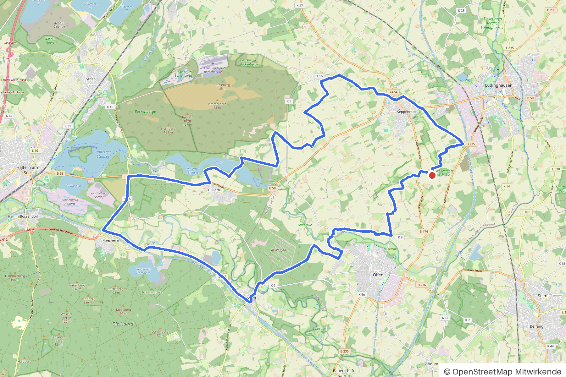
Along the route
km 0.0Start
In the app-
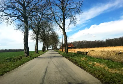
km 0.2 Photo: descilla · CC BY-SA 4.0 · cropped -
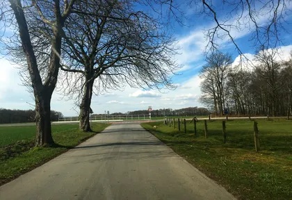
km 0.4 Photo: descilla · CC BY-SA 4.0 · cropped -
km 2.4 Rechede Viewpoint
-
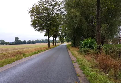
km 3.8 Photo: ralfonso · CC BY-SA 4.0 · cropped -
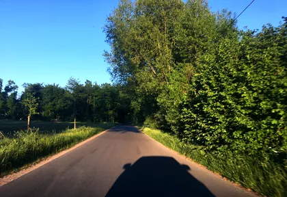
km 5.1 Photo: descilla · CC BY-SA 4.0 · cropped -
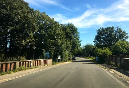
km 6.6 Photo: descilla · CC BY-SA 4.0 · cropped -
km 6.6 Around km 6.6 · 2 places Füchtelner Mühle, Picknickplatz Füchtener Mühle
-
km 7.7 Picknickplatz Naturbad Olfen Rest area
-
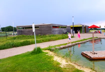
km 7.7 Photo: mapnrw · CC BY-SA 4.0 · cropped -
km 12.7 St. Marien Church
-
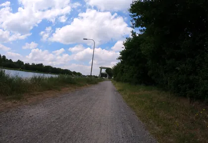
km 17.8 Photo: geogladbecker · CC BY-SA 4.0 · cropped -
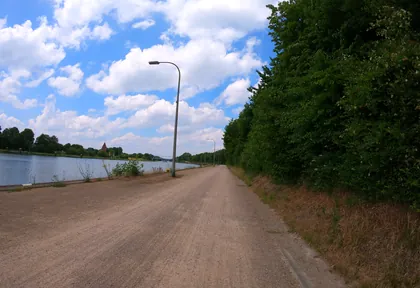
km 18.4 Photo: geogladbecker · CC BY-SA 4.0 · cropped -
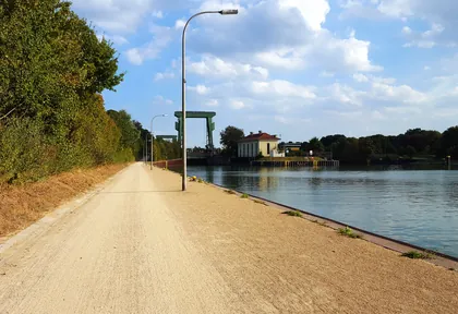
km 18.5 Photo: mapnrw · CC BY-SA 4.0 · cropped -
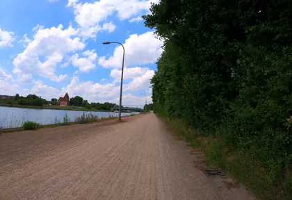
km 18.6 Photo: geogladbecker · CC BY-SA 4.0 · cropped -
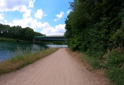
km 19.2 Photo: geogladbecker · CC BY-SA 4.0 · cropped -
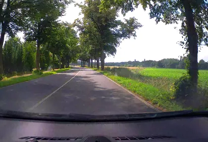
km 24.6 Photo: poxonline · CC BY-SA 4.0 · cropped -
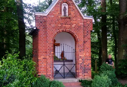
km 25.3 Photo: mapnrw · CC BY-SA 4.0 · cropped -
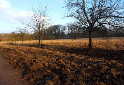
km 26.3 Photo: mapnrw · CC BY-SA 4.0 · cropped -
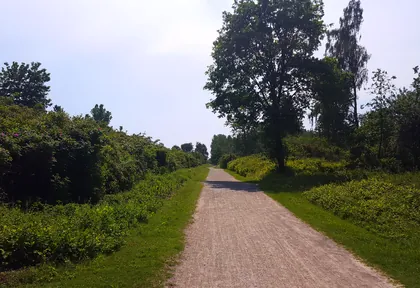
km 26.6 Photo: mapnrw · CC BY-SA 4.0 · cropped -
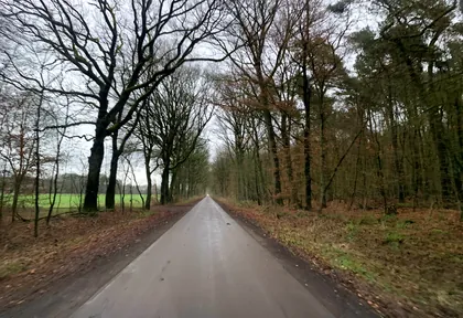
km 27.2 Photo: descilla · CC BY-SA 4.0 · cropped -
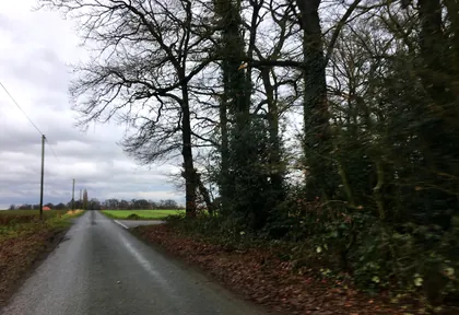
km 32.6 Photo: descilla · CC BY-SA 4.0 · cropped -
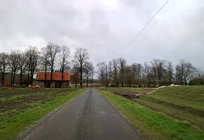
km 33.1 Photo: descilla · CC BY-SA 4.0 · cropped -
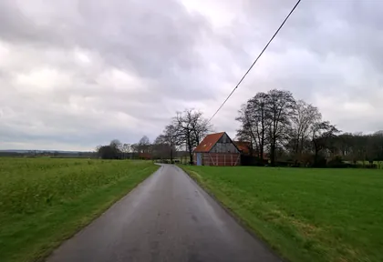
km 36.9 Photo: descilla · CC BY-SA 4.0 · cropped -
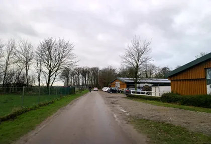
km 37.6 Photo: descilla · CC BY-SA 4.0 · cropped -
km 37.9 Leversumer Kapelle Church
-
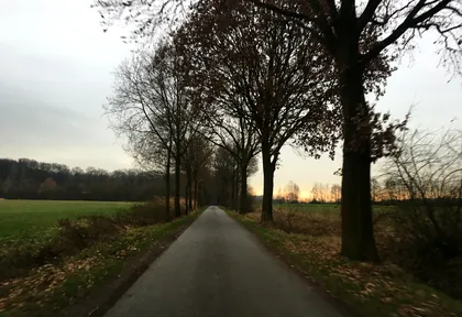
km 40 Photo: descilla · CC BY-SA 4.0 · cropped -
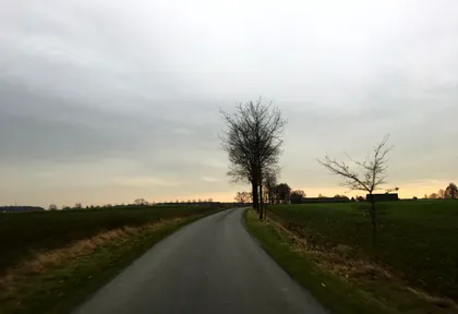
km 41.2 Photo: descilla · CC BY-SA 4.0 · cropped -
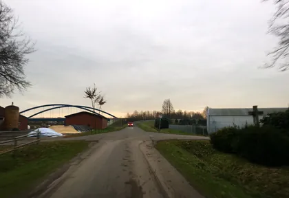
km 41.6 Photo: descilla · CC BY-SA 4.0 · cropped -
km 42.6 Dingerfeld Rest area
Ride this loop in the app
You’ll find the route in the app under Themed Routes — Radrunde guides you along it node by node.
- Guides you Node by node — you look at the signs, not at your screen
- Works without signal The network data is on your device — if you lose signal, your phone calculates the loop itself
- Free No account, no ads — the NRW network stays free for good

