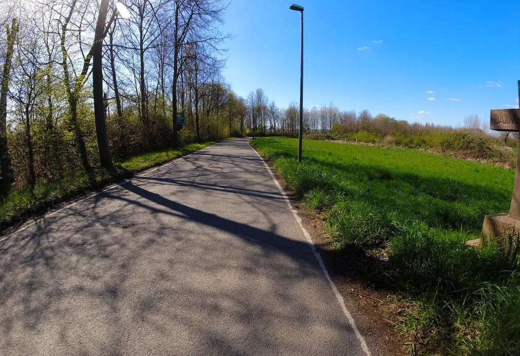
Themed route · Düsseldorf & Rhineland
Meerbusch, Linn and Museums
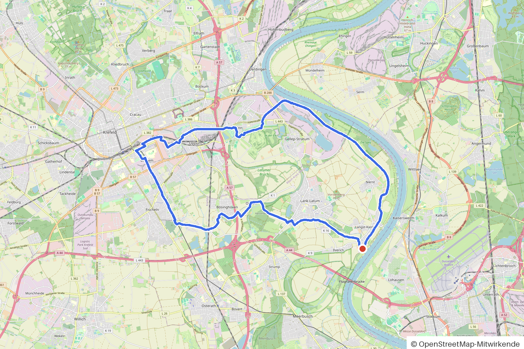
31 km approx. 2:03 h 64 hm Asphalt and paving stones
A curated route from the free Radrunde app — navigable node by node across the node network in the app.
31 kilometres from Meerbusch — over bridges and ditches, through an avenue, with three churches and museums along the way.
The route
You start in Meerbusch. You cross Langenbruchbach, Fischelner Dorfgraben and Linner Mühlenbach, cross the bridge over the Linner Mühlenbach and roll along on asphalt and paving. The route is flat — 64 metres of elevation gain over 31 kilometres. Along the way you pass three churches, the former Linner Synagoge, the Museum Burg Linn, the Deutsches Textilmuseum and the Historischer Feuerlöschzug. If you fancy a break, you'll find BackKultur, the Nettes Eiscafe and the Schlachtgarten.
- Distance
- 31 km
- Ascent
- 64 m
- Riding time
- approx. 2:03 h
- Surface
- Asphalt and paving stones
Along the route
km 0.0Start
In the app-
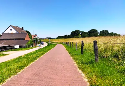
km 0 Photo: changchun1 · CC BY-SA 4.0 · cropped -
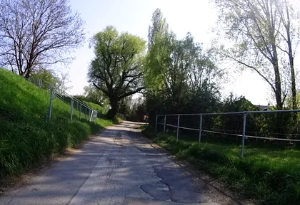
km 0.2 Photo: ramap · CC BY-SA 4.0 · cropped -
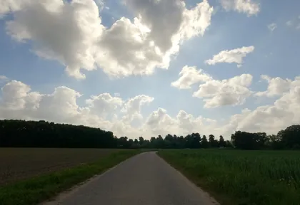
km 4 Photo: hektor1989 · CC BY-SA 4.0 · cropped -
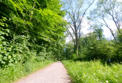
km 5 Photo: hektor1989 · CC BY-SA 4.0 · cropped -
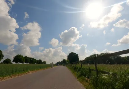
km 5.4 Photo: hektor1989 · CC BY-SA 4.0 · cropped -
km 7 Neuapostolische Kirche Church
-
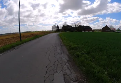
km 8 Photo: ralrei · CC BY-SA 4.0 · cropped -
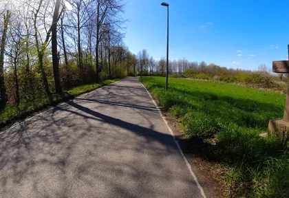
km 8.6 Photo: ralrei · CC BY-SA 4.0 · cropped -
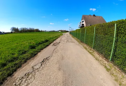
km 9.2 Photo: ralrei · CC BY-SA 4.0 · cropped -
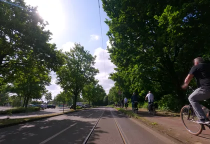
km 10 Photo: hektor1989 · CC BY-SA 4.0 · cropped -
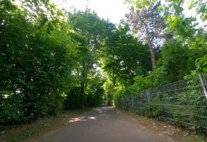
km 10.4 Photo: hektor1989 · CC BY-SA 4.0 · cropped -
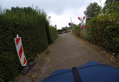
km 13 Photo: mfa · CC BY-SA 4.0 · cropped -
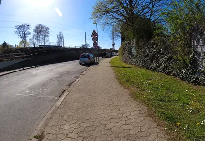
km 16.3 Photo: ralrei · CC BY-SA 4.0 · cropped -
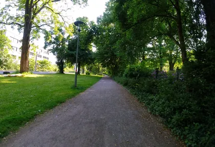
km 16.6 Photo: ralrei · CC BY-SA 4.0 · cropped -
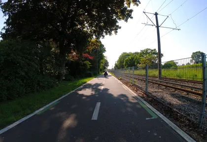
km 17.6 Photo: ralrei · CC BY-SA 4.0 · cropped -
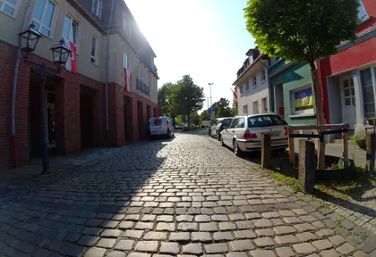
km 18.8 Photo: ralrei · CC BY-SA 4.0 · cropped -
km 18.9 Nettes Eiscafe Ice cream parlour
-
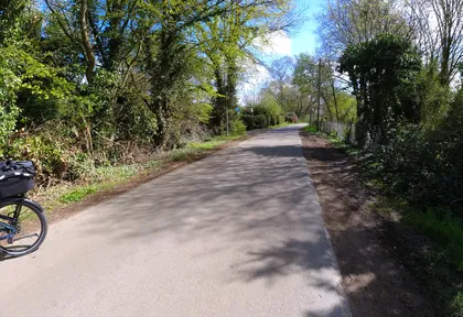
km 19.3 Photo: ralrei · CC BY-SA 4.0 · cropped -
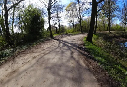
km 19.6 Photo: ralrei · CC BY-SA 4.0 · cropped -
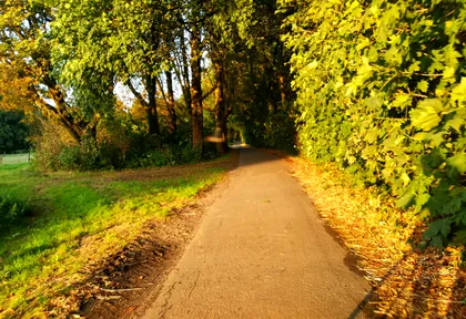
km 20.2 Photo: mapi28 · CC BY-SA 4.0 · cropped -
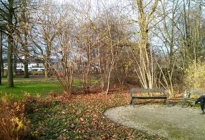
km 20.6 Photo: mapillary_service · CC BY-SA 4.0 · cropped -
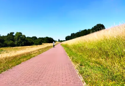
km 25.2 Photo: changchun1 · CC BY-SA 4.0 · cropped -
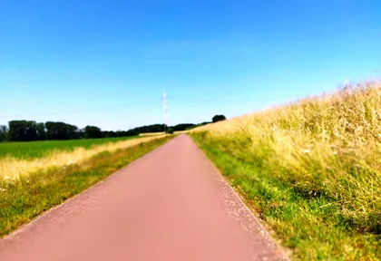
km 26 Photo: changchun1 · CC BY-SA 4.0 · cropped -
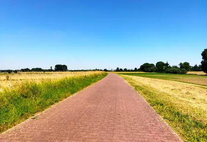
km 27.6 Photo: changchun1 · CC BY-SA 4.0 · cropped -
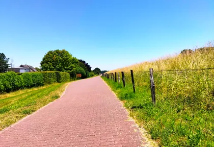
km 29.8 Photo: changchun1 · CC BY-SA 4.0 · cropped -
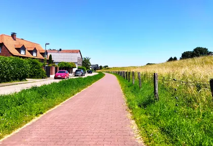
km 30.6 Photo: changchun1 · CC BY-SA 4.0 · cropped
Ride this loop in the app
You’ll find the route in the app under Themed Routes — Radrunde guides you along it node by node.
- Guides you Node by node — you look at the signs, not at your screen
- Works without signal The network data is on your device — if you lose signal, your phone calculates the loop itself
- Free No account, no ads — the NRW network stays free for good

