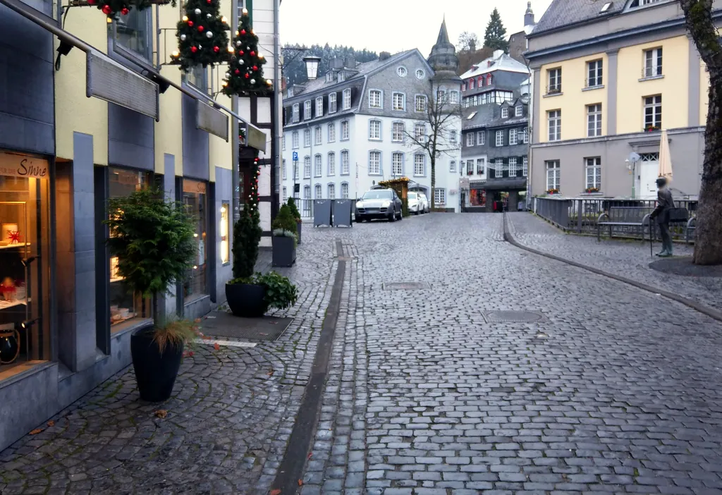
Themed route · Aachen & Eifel
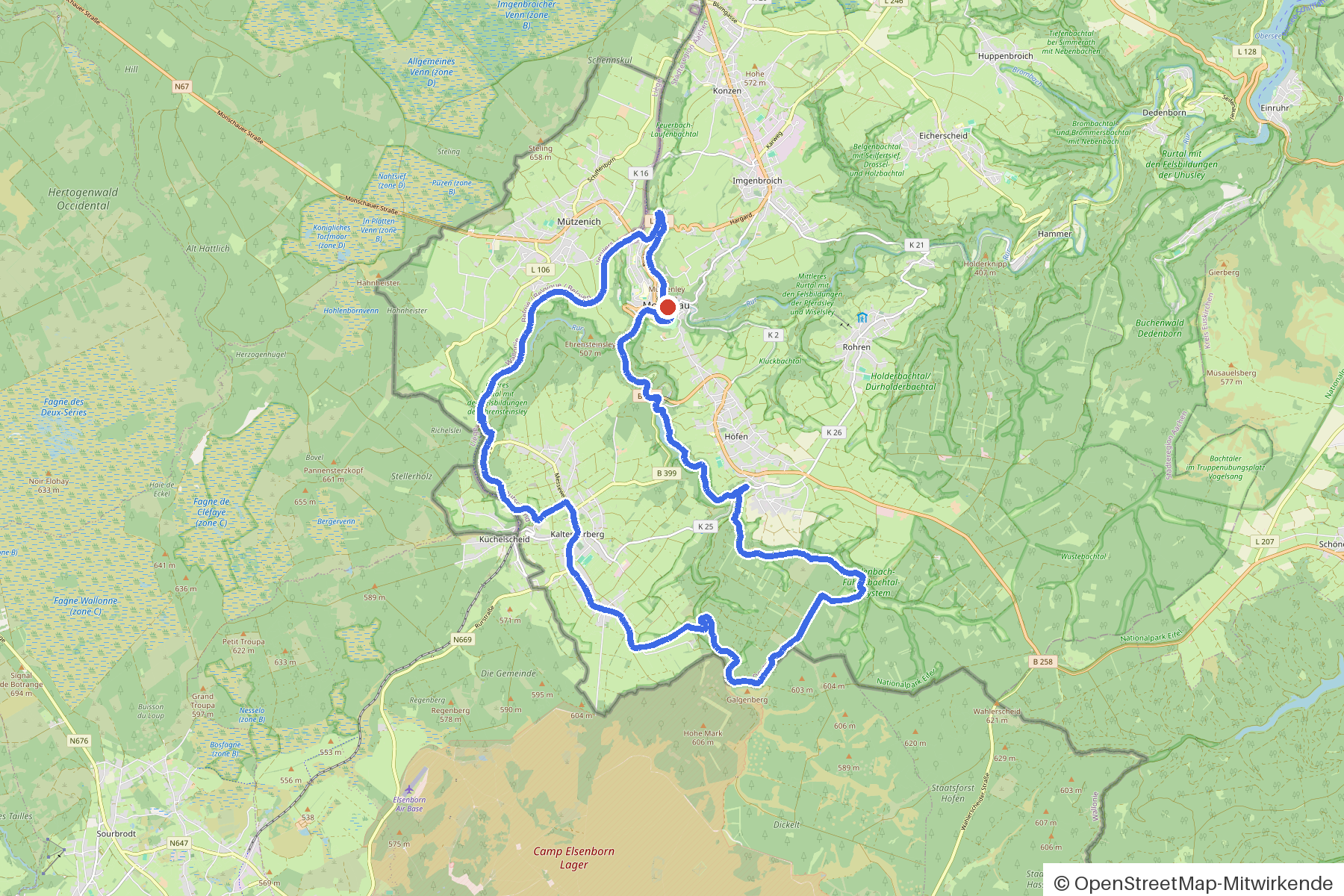
Monschau Heights and Rurtal
28 km approx. 1:53 h 396 hm Asphalt and gravel
A curated route from the free Radrunde app — navigable node by node across the node network in the app.
28 kilometres through the Eifel from Monschau — hilly, across six bridges, with tree-lined sections and several viewpoints.
The route
You start in Monschau. You cross the Rur, the Fuhrtsbach, the Perlenbach and further streams, rolling along roughly equal parts on asphalt and gravel. The route is hilly — 396 metres of elevation gain over 28 kilometres. Along the way lie the Eifelblick Kierberg, the Mühlenley and the Halve Mond as viewpoints, plus seven churches and four mills. If you fancy a break, you'll find several cafés along the way — the Weekend, the Schloss-Café or the Caffee Rösterei.
- Distance
- 28 km
- Ascent
- 396 m
- Riding time
- approx. 1:53 h
- Surface
- Asphalt and gravel
Along the route
km 0.0Start
In the app-
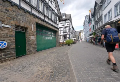
km 0.1 Photo: hektor1989 · CC BY-SA 4.0 · cropped -
km 0.1 Around the start · 3 places Unseren Gefallenen der beiden Weltkriege, Eifelblick Kierberg, Burg Monschau
-
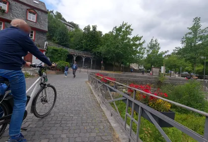
km 0.4 Photo: hektor1989 · CC BY-SA 4.0 · cropped -
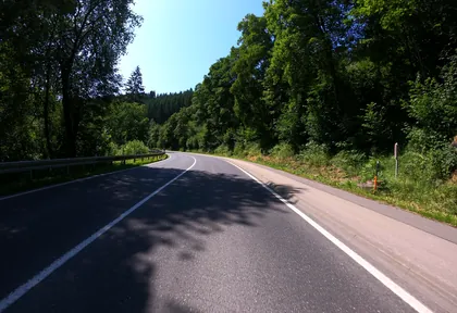
km 1.8 Photo: joostjakob · CC BY-SA 4.0 · cropped -
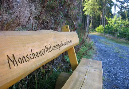
km 3.3 Photo: micmin1972 · CC BY-SA 4.0 · cropped -
km 5.3 Höfener Mühle Mill
-
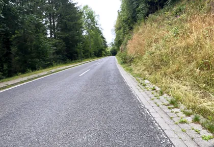
km 5.4 Photo: Nicolas1030 · CC BY-SA 4.0 · cropped -
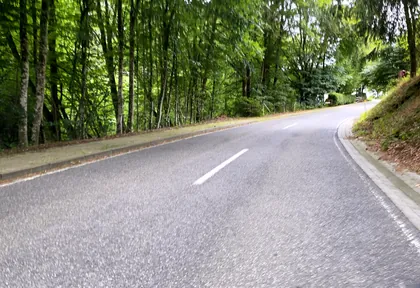
km 5.6 Photo: Nicolas1030 · CC BY-SA 4.0 · cropped -
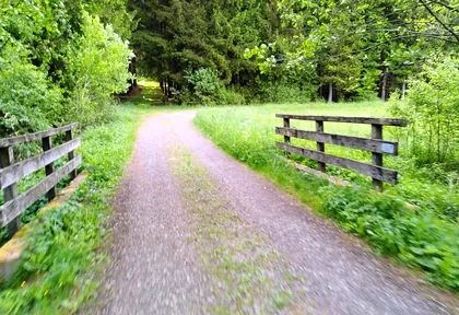
km 9.1 Photo: ddm · CC BY-SA 4.0 · cropped -
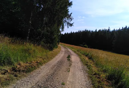
km 11.2 Photo: ddm · CC BY-SA 4.0 · cropped -
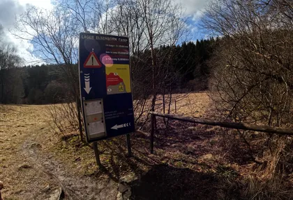
km 12.2 Photo: vinisa · CC BY-SA 4.0 · cropped -
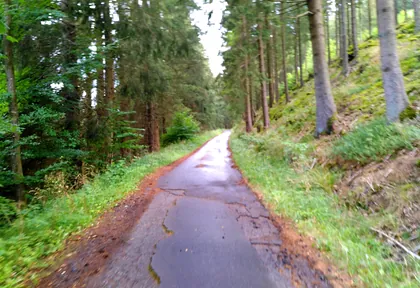
km 13.7 Photo: ddm · CC BY-SA 4.0 · cropped -
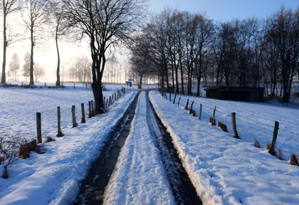
km 15 Photo: jeroenrozema74 · CC BY-SA 4.0 · cropped -
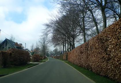
km 15.8 Photo: tobiasreg · CC BY-SA 4.0 · cropped -
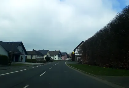
km 16.8 Photo: tobiasreg · CC BY-SA 4.0 · cropped -
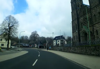
km 17.6 Photo: tobiasreg · CC BY-SA 4.0 · cropped -
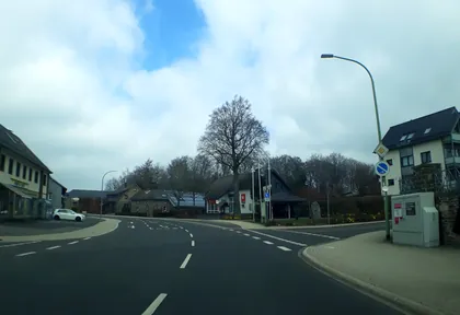
km 17.6 Photo: tobiasreg · CC BY-SA 4.0 · cropped -
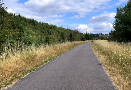
km 19.4 Photo: Nicolas1030 · CC BY-SA 4.0 · cropped -
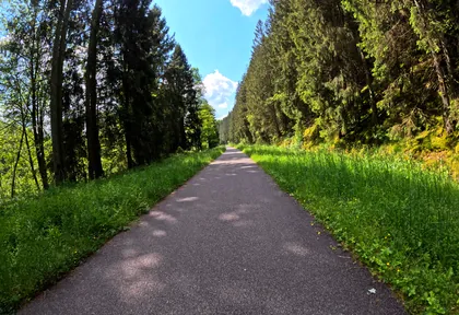
km 20 Photo: madel · CC BY-SA 4.0 · cropped -
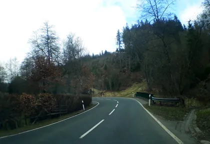
km 21.4 Photo: tobiasreg · CC BY-SA 4.0 · cropped -
km 21.4 Reichensteiner Klostermühle Mill
-
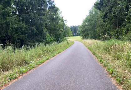
km 22.8 Photo: Nicolas1030 · CC BY-SA 4.0 · cropped -
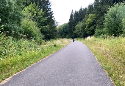
km 23.3 Photo: Nicolas1030 · CC BY-SA 4.0 · cropped -
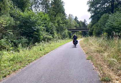
km 24.4 Photo: Nicolas1030 · CC BY-SA 4.0 · cropped -
km 27.3 Senfmühle Monschau Mill
-
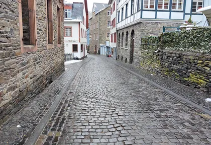
km 28.1 Photo: jeroenrozema74 · CC BY-SA 4.0 · cropped -
km 28.2 Halve Mond Viewpoint
-
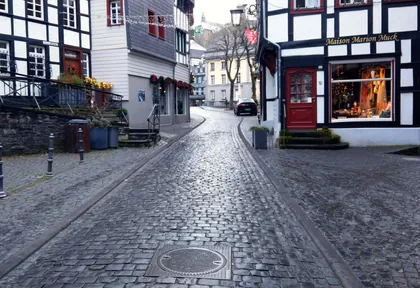
km 28.3 Photo: jeroenrozema74 · CC BY-SA 4.0 · cropped -
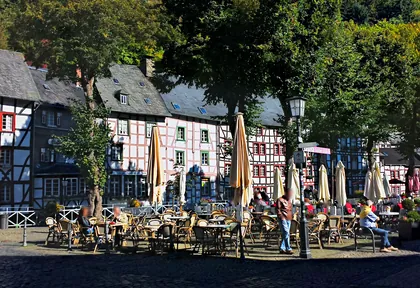
km 28.3 Photo: voltadino · CC BY-SA 4.0 · cropped -
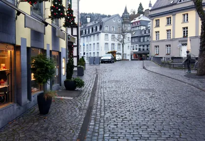
km 28.3 Photo: jeroenrozema74 · CC BY-SA 4.0 · cropped
Ride this loop in the app
You’ll find the route in the app under Themed Routes — Radrunde guides you along it node by node.
- Guides you Node by node — you look at the signs, not at your screen
- Works without signal The network data is on your device — if you lose signal, your phone calculates the loop itself
- Free No account, no ads — the NRW network stays free for good

