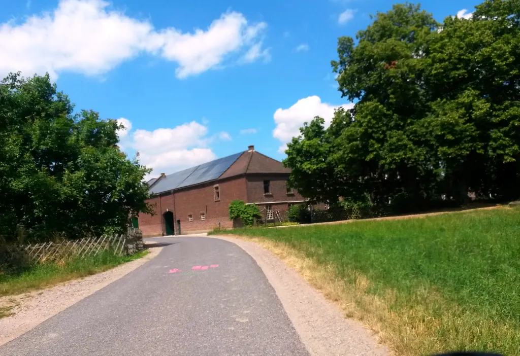
Themed route · Lower Rhine
Nettetal, Schwalm and Nette
54 km approx. 3:34 h 129 hm Mostly asphalt
A curated route from the free Radrunde app — navigable node by node across the node network in the app.
54 kilometres through meadows and forests — over Niers, Schleck and Beeck, with mills and chapels along the way.
The route
You start in Nettetal. You ride on asphalt through flat countryside, crossing Fliethbach, Kanal and Beeck and crossing the Niers, Schleck and the Kanal zur Schleck. Along the way lie two mills, several chapels and churches, including the Evangelische Kirche Lobberich and Haus Steinfunder. An avenue shapes a stretch of the route. If you fancy a break, you'll find cafés like Cafe Seeger or the ice cream parlour Eis Paradys.
- Distance
- 54 km
- Ascent
- 129 m
- Riding time
- approx. 3:34 h
- Surface
- Mostly asphalt
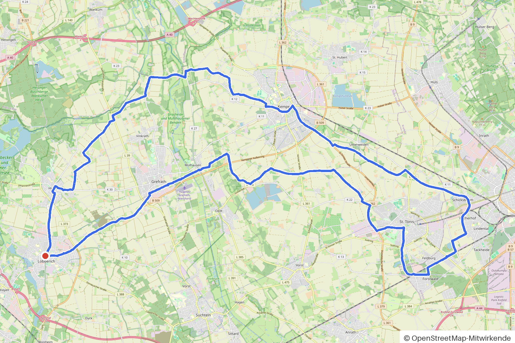
Along the route
km 0.0Start
In the app-
km 0 Cafe Seeger Café
-
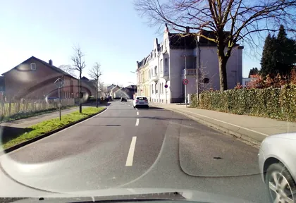
km 0.6 Photo: joopjrvdl · CC BY-SA 4.0 · cropped -
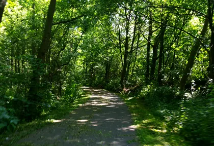
km 6.6 Photo: metdefiets · CC BY-SA 4.0 · cropped -
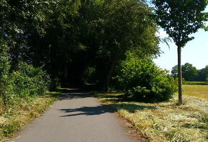
km 7.2 Photo: metdefiets · CC BY-SA 4.0 · cropped -
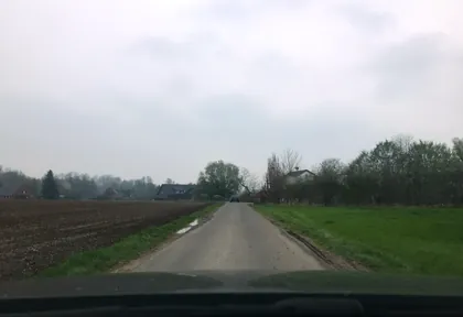
km 9.2 Photo: saschahaberkorn · CC BY-SA 4.0 · cropped -
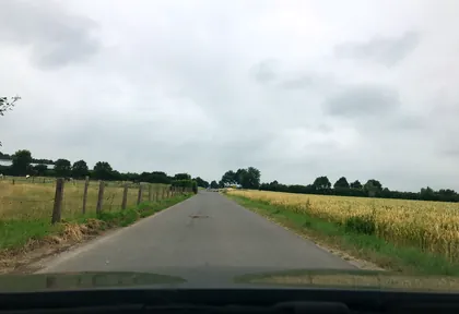
km 9.8 Photo: saschahaberkorn · CC BY-SA 4.0 · cropped -
km 10.1 Haus Steinfunder Palace
-
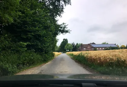
km 10.4 Photo: saschahaberkorn · CC BY-SA 4.0 · cropped -
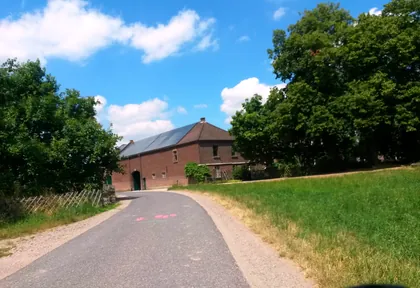
km 10.7 Photo: rausk · CC BY-SA 4.0 · cropped -
km 11.7 Heiligenhäuschen Church
-
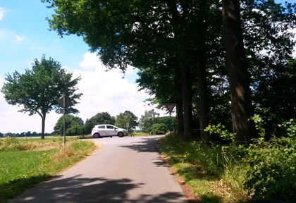
km 13.4 Photo: rausk · CC BY-SA 4.0 · cropped -
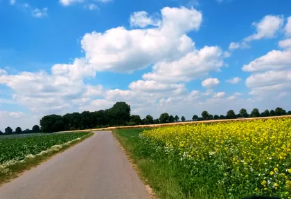
km 13.8 Photo: rausk · CC BY-SA 4.0 · cropped -
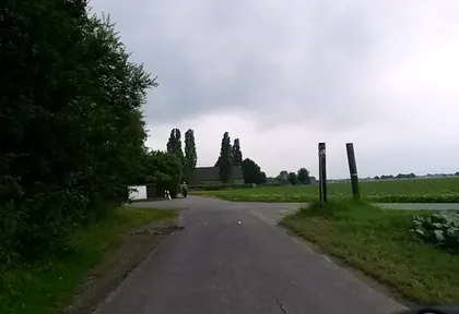
km 14.2 Photo: rausk · CC BY-SA 4.0 · cropped -
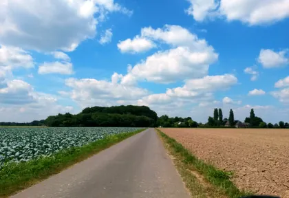
km 14.4 Photo: rausk · CC BY-SA 4.0 · cropped -
km 15.3 Gartenpark-Café Café
-
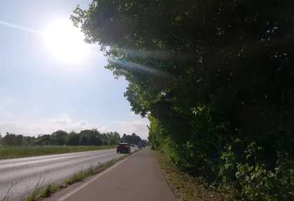
km 18 Photo: hektor1989 · CC BY-SA 4.0 · cropped -
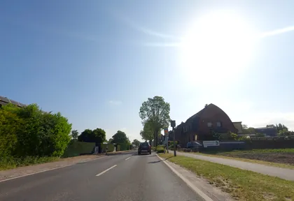
km 18.5 Photo: hektor1989 · CC BY-SA 4.0 · cropped -
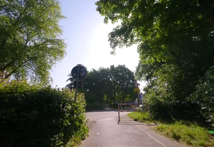
km 19 Photo: hektor1989 · CC BY-SA 4.0 · cropped -
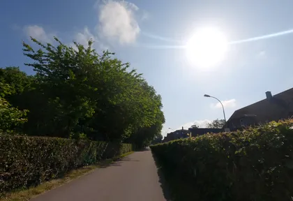
km 19.4 Photo: hektor1989 · CC BY-SA 4.0 · cropped -
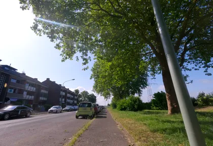
km 25.4 Photo: hektor1989 · CC BY-SA 4.0 · cropped -
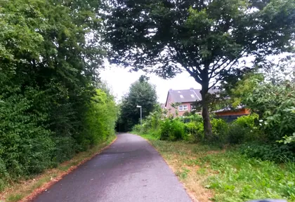
km 35.1 Photo: rausk · CC BY-SA 4.0 · cropped -
km 36.2 Kriegerehrenmal Monument
-
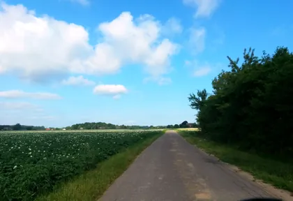
km 37.6 Photo: rausk · CC BY-SA 4.0 · cropped -
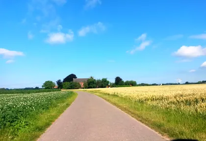
km 38 Photo: rausk · CC BY-SA 4.0 · cropped -
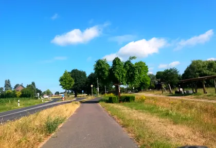
km 38.5 Photo: rausk · CC BY-SA 4.0 · cropped -
km 46.8 Mathäuskapelle Church
-
km 48 Hubertuskapelle Church
-
km 49.9 Stammenmühle Mill
-
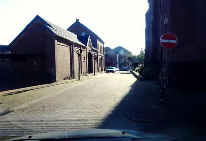
km 50.5 Photo: joopjrvdl · CC BY-SA 4.0 · cropped -
km 50.5 Sankt Peter Church
Ride this loop in the app
You’ll find the route in the app under Themed Routes — Radrunde guides you along it node by node.
- Guides you Node by node — you look at the signs, not at your screen
- Works without signal The network data is on your device — if you lose signal, your phone calculates the loop itself
- Free No account, no ads — the NRW network stays free for good

