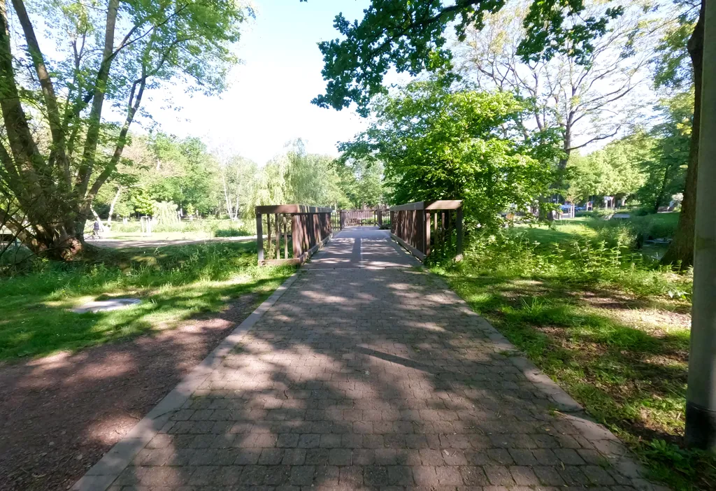
Themed route · Düsseldorf & Rhineland
Wegberg Mills and Schwalm
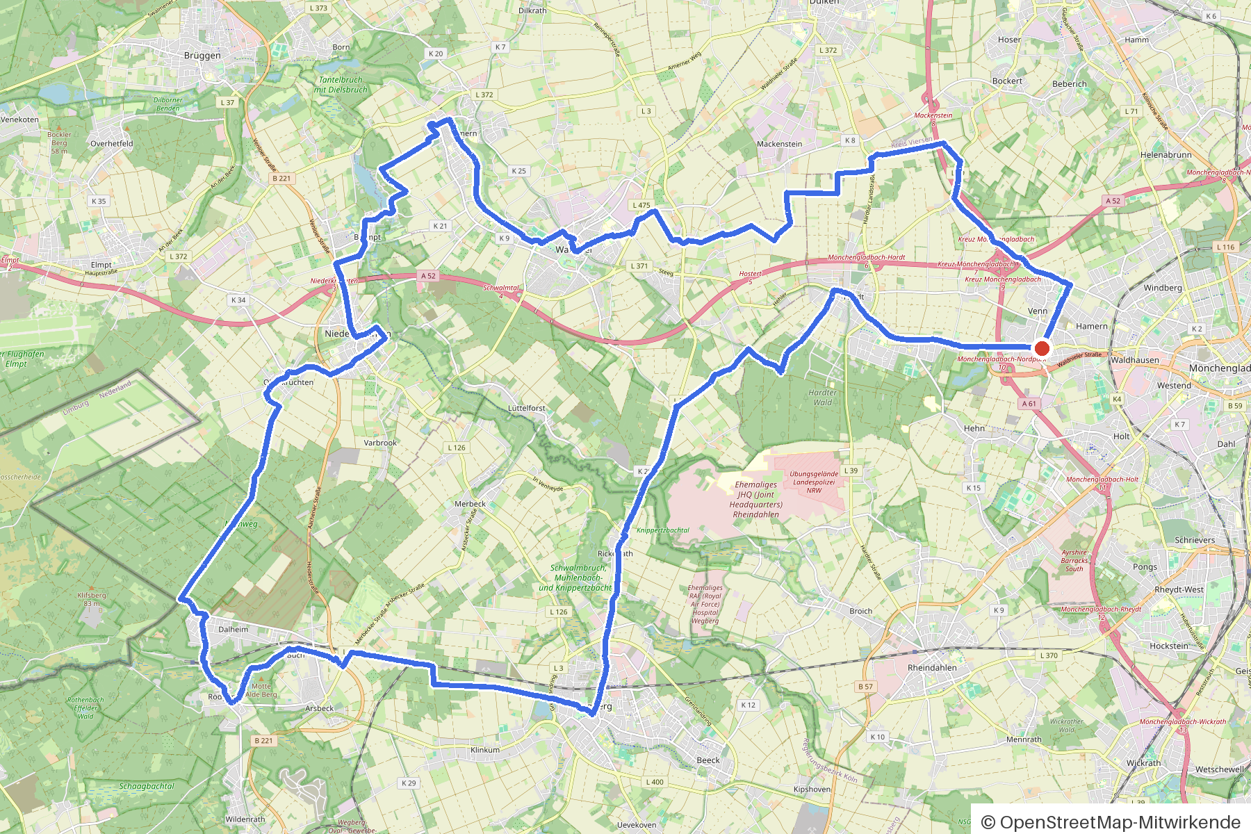
54 km approx. 3:35 h 262 hm Mostly asphalt
A curated route from the free Radrunde app — navigable node by node across the node network in the app.
54 kilometres through settlements and woodland — over four bridges, past Burg Wegberg, with plenty of cafés and ice cream cafés along the way.
The route
You start at the Niederrhein. You cross the Knippertzbach, Mühlenbach, Helpensteiner Bach and Lütterbach, ride over bridges and cross several more streams. The route is undulating — 262 metres of climbing over 54 kilometres, mostly on asphalt. Along the way you'll find Burg Wegberg, two mills, the Mühlenmuseum Schrofmühle and numerous churches and chapels. An avenue runs through the route. If you fancy a break, you'll find cafés, ice cream cafés and the Lütterbeach beer garden — or you can stop at one of the three water-view viewpoints.
- Distance
- 54 km
- Ascent
- 262 m
- Riding time
- approx. 3:35 h
- Surface
- Mostly asphalt
Along the route
km 0.0Start
In the app-
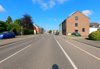
km 1.7 Photo: hektor1989 · CC BY-SA 4.0 · cropped -
km 3 Around km 3 · 2 places Luce, Eiscafe De Bona
-
km 3.7 Around km 3.7 · 2 places St. Nikolaus, Marienkapelle
-
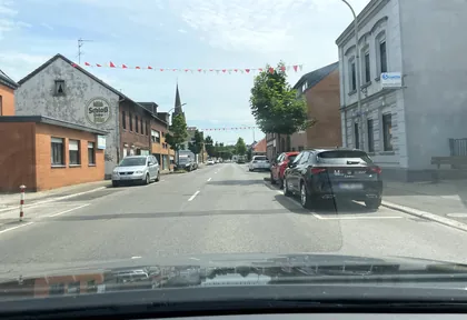
km 3.9 Photo: endradon · CC BY-SA 4.0 · cropped -
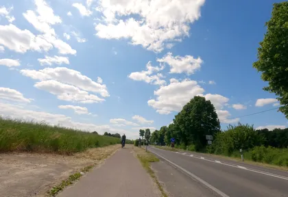
km 10 Photo: hektor1989 · CC BY-SA 4.0 · cropped -
km 10.4 Around km 10.4 · 3 places Cellino, Pfarrkirche St. Mariä Himmelfahrt, Dorfkreuz
-
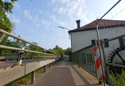
km 11.7 Photo: hektor1989 · CC BY-SA 4.0 · cropped -
km 11.7 Mühlenmuseum Schrofmühle Museum
-
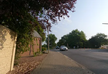
km 12.2 Photo: hektor1989 · CC BY-SA 4.0 · cropped -
km 12.2 Hl. Brigida-Kapelle Church
-
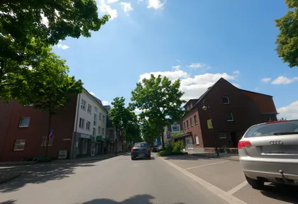
km 13.4 Photo: hektor1989 · CC BY-SA 4.0 · cropped -
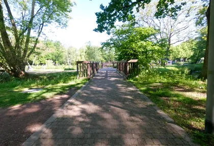
km 13.8 Photo: hektor1989 · CC BY-SA 4.0 · cropped -
km 13.8 Around km 13.8 · 4 places Wasser.Blick 21 - Wassererlebnis Schwalm, Café Longo - Eis und mehr, Wegberger (Ramachers) Mühle, Burg Wegberg
-
km 20.6 Wasser.Blick 22 Anton-Raky-Weiher Viewpoint
-
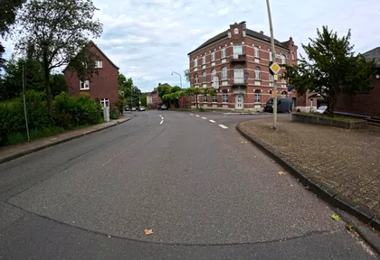
km 21.4 Photo: madel · CC BY-SA 4.0 · cropped -
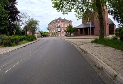
km 21.4 Photo: madel · CC BY-SA 4.0 · cropped -
km 21.4 St. Rochus Church
-
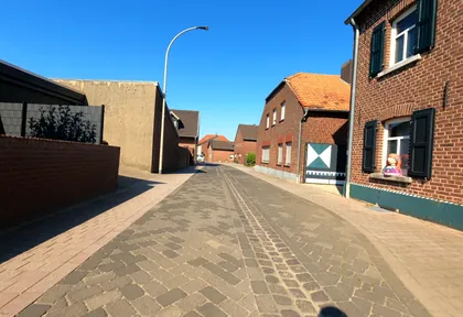
km 27.6 Photo: hektor1989 · CC BY-SA 4.0 · cropped -
km 27.9 Around km 27.9 · 2 places Bildstock, St. Martin
-
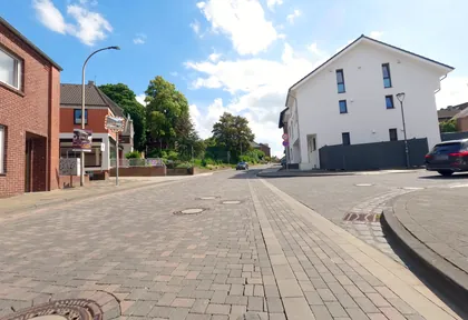
km 30.7 Photo: hektor1989 · CC BY-SA 4.0 · cropped -
km 30.9 Eiscafe Euro Café
-
km 32.8 Georgskapelle Church
-
km 33.3 Around km 33.3 · 3 places Tino's Eiscafé, Wasser.Blick 17 - Hariksee und Inselschlösschen, Campingmesse
-
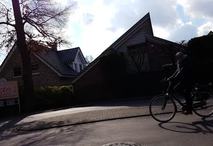
km 33.3 Photo: gboellertz · CC BY-SA 4.0 · cropped -
km 36.4 Eiscafe Longo Café
-
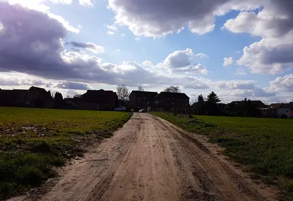
km 37.5 Photo: gboellertz · CC BY-SA 4.0 · cropped -
km 40.3 Around km 40.3 · 3 places Markt-Café, Eiscafe Picolino, St. Michael
-
km 41 Berger Mühle (Pestmühle) Mill
-
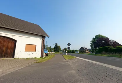
km 43 Photo: hektor1989 · CC BY-SA 4.0 · cropped -
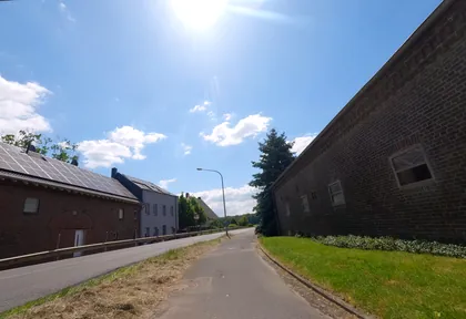
km 47.7 Photo: hektor1989 · CC BY-SA 4.0 · cropped -
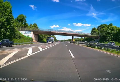
km 51.7 Photo: heetENkoel · CC BY-SA 4.0 · cropped
Ride this loop in the app
You’ll find the route in the app under Themed Routes — Radrunde guides you along it node by node.
- Guides you Node by node — you look at the signs, not at your screen
- Works without signal The network data is on your device — if you lose signal, your phone calculates the loop itself
- Free No account, no ads — the NRW network stays free for good

