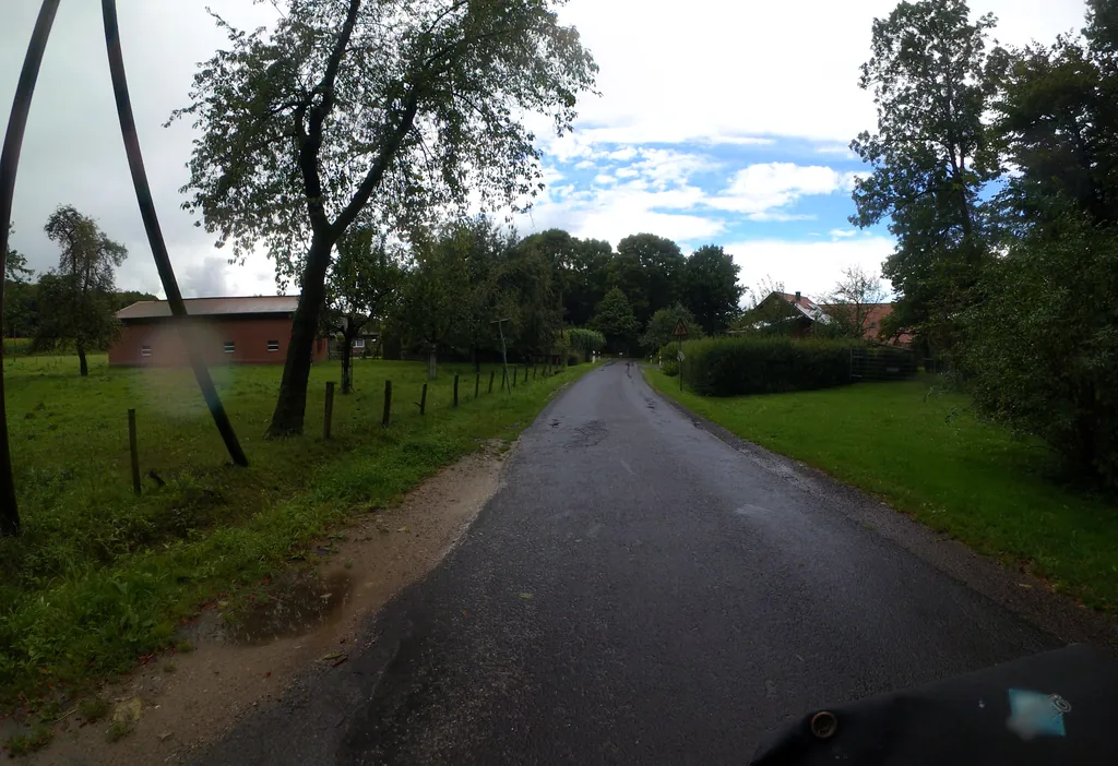
Themed route · Münsterland
Nottuln, Baumberge and Stever
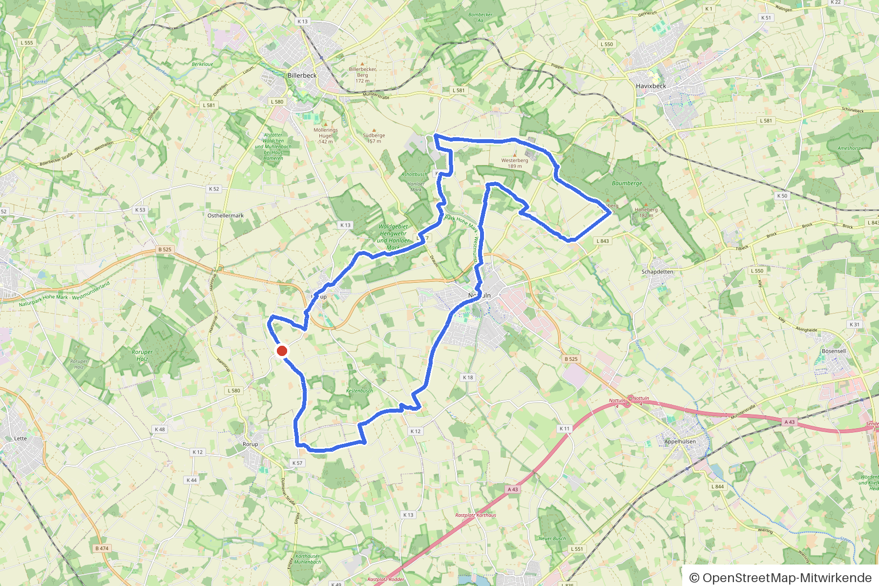
31 km approx. 2:05 h 345 hm Mostly asphalt
A curated route from the free Radrunde app — navigable node by node across the node network in the app.
31 kilometres through the Baumberge from Nottuln — hilly, two bridges, two mills and an avenue.
The route
You start in Nottuln. You cross the Stever and the Nonnenbach on bridges, ford the Hummelbach, Hagenbach and Höveler Bach. The route is hilly — 345 metres of elevation gain over 31 kilometres, entirely on asphalt. Along the way you pass two water mills, two churches and an avenue. If you fancy a break: the Hofcafé Alter Hof Schoppmann, Rosenrot, Cafe Gerburgis, the Eiscafé Venezia or the Rastplatz Draum.
- Distance
- 31 km
- Ascent
- 345 m
- Riding time
- approx. 2:05 h
- Surface
- Mostly asphalt
Along the route
km 0.0Start
In the app-
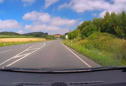
km 2.3 Photo: poxonline · CC BY-SA 4.0 · cropped -
km 2.7 St. Fabian und Sebastian Church
-
km 3.3 Alter Hof Schoppmann – Hofcafé Café
-
km 5.1 Photo: marczoutendijk · CC BY-SA 4.0 · cropped -
km 5.1 Draum Rest area
-
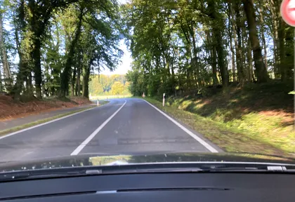
km 6 Photo: heetENkoel · CC BY-SA 4.0 · cropped -
km 11.9 Madonna mit Kind Monument
-
km 14 Hachmann Gedenkstein Monument
-
km 15.8 Wassermühle Schulze Westerath Mill
-
km 16.9 Stiftsmühle Elpert Mill
-
km 20.9 Rosenrot Café
-
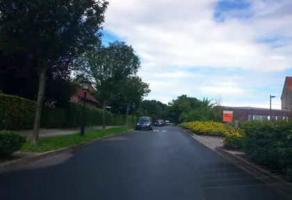
km 21 Photo: mpw · CC BY-SA 4.0 · cropped -
km 21.5 St. Martinus Church
Ride this loop in the app
You’ll find the route in the app under Themed Routes — Radrunde guides you along it node by node.
- Guides you Node by node — you look at the signs, not at your screen
- Works without signal The network data is on your device — if you lose signal, your phone calculates the loop itself
- Free No account, no ads — the NRW network stays free for good

