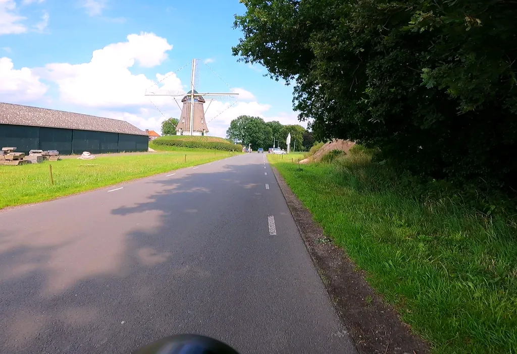
Themed route · Gelderland
Nunspeet, eleven streams and two mills
35 km approx. 2:20 h 59 hm Mostly asphalt
A curated route from the free Radrunde app — navigable node by node across the node network in the app.
35 kilometres from Nunspeet — across eleven streams, two observation towers and two historic mills.
The route
You start in Nunspeet. On this flat route you cross eleven streams in succession — Zilverbeek, Hierdense Beek, Killenbeek, Varelse Beek and others. Along the way you'll find two observation towers, the mills De Maagd and De Duif, the Noord-Veluws Museum and several churches. If you fancy a break, you'll find cafés like the Dutch Pub de Zaak and ice cream shops like Pico Bello and Stientje. The route runs on asphalt for 75 per cent of the way.
- Distance
- 35 km
- Ascent
- 59 m
- Riding time
- approx. 2:20 h
- Surface
- Mostly asphalt
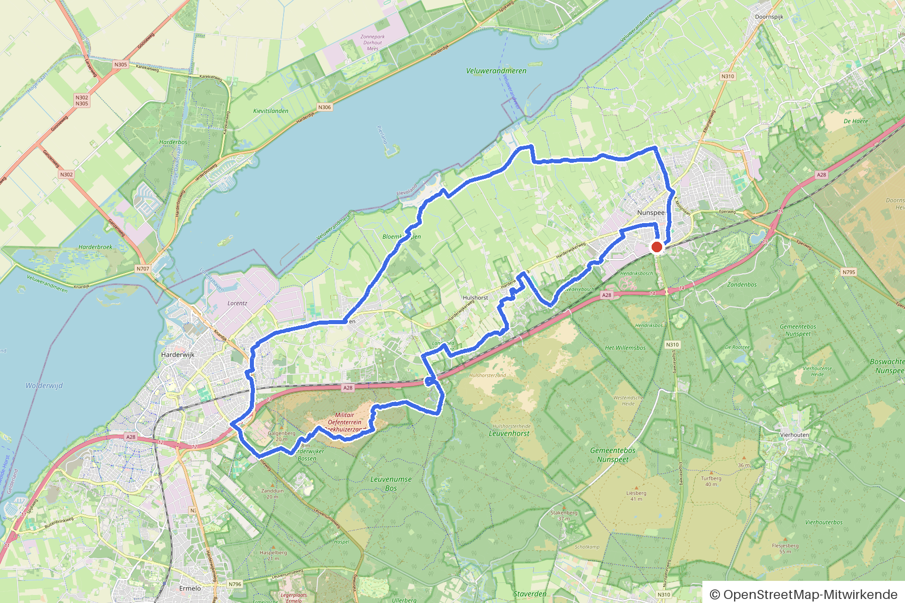
Along the route
km 0.0Start
In the app-
km 0.4 IJssalon Pico Bello Ice cream parlour
-
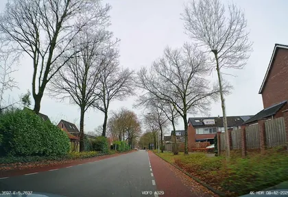
km 2.2 Photo: thewizard · CC BY-SA 4.0 · cropped -
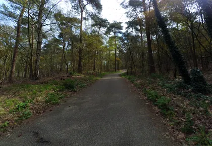
km 2.6 Photo: peewee32 · CC BY-SA 4.0 · cropped -
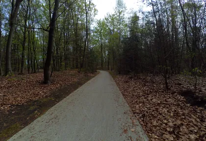
km 3 Photo: peewee32 · CC BY-SA 4.0 · cropped -
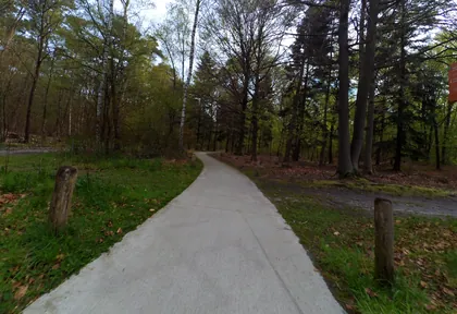
km 3.4 Photo: peewee32 · CC BY-SA 4.0 · cropped -
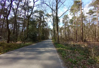
km 4.4 Photo: ankeric · CC BY-SA 4.0 · cropped -
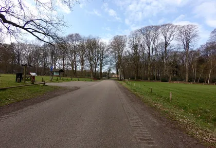
km 9 Photo: ankeric · CC BY-SA 4.0 · cropped -
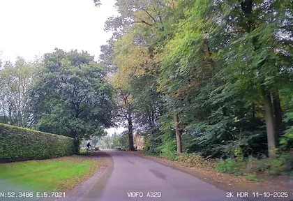
km 9.5 Photo: thewizard · CC BY-SA 4.0 · cropped -
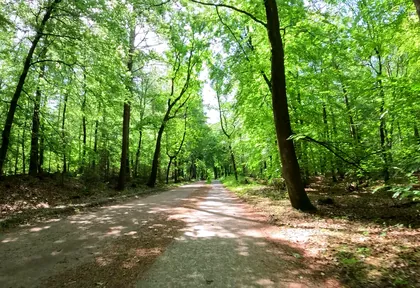
km 11 Photo: thewizard · CC BY-SA 4.0 · cropped -
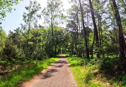
km 11.8 Photo: thewizard · CC BY-SA 4.0 · cropped -
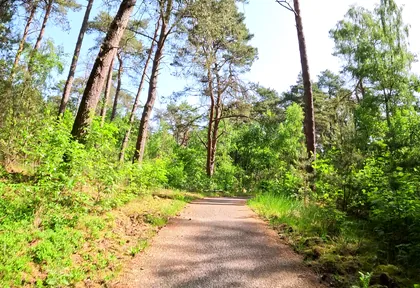
km 12.6 Photo: thewizard · CC BY-SA 4.0 · cropped -
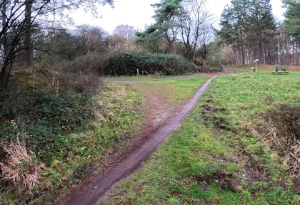
km 15.3 Photo: thewizard · CC BY-SA 4.0 · cropped -
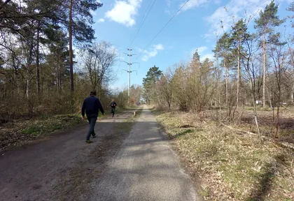
km 16.6 Photo: ankeric · CC BY-SA 4.0 · cropped -
km 17.8 Toekantoren Van der Valk Harderwijk Viewpoint
-
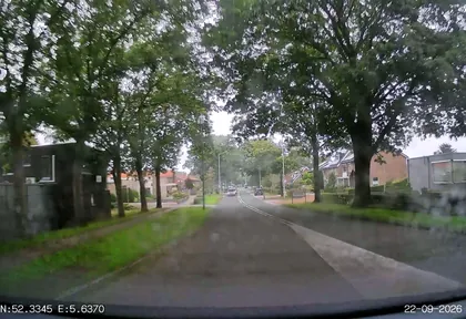
km 17.8 Photo: thewizard · CC BY-SA 4.0 · cropped -
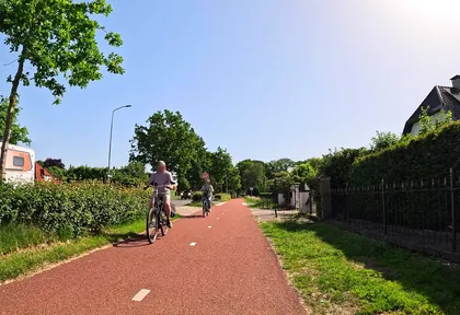
km 20.4 Photo: thewizard · CC BY-SA 4.0 · cropped -
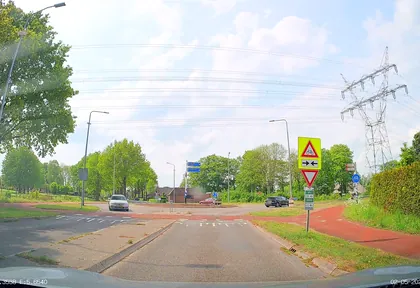
km 20.8 Photo: thewizard · CC BY-SA 4.0 · cropped -
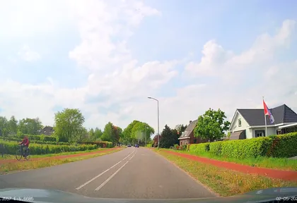
km 21.8 Photo: thewizard · CC BY-SA 4.0 · cropped -
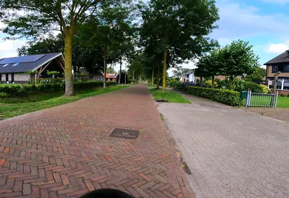
km 22.8 Photo: thewizard · CC BY-SA 4.0 · cropped -
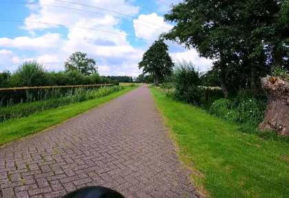
km 23.6 Photo: thewizard · CC BY-SA 4.0 · cropped -
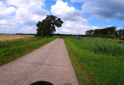
km 24.4 Photo: thewizard · CC BY-SA 4.0 · cropped -
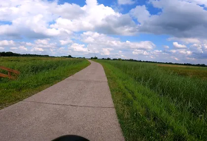
km 25.2 Photo: thewizard · CC BY-SA 4.0 · cropped -
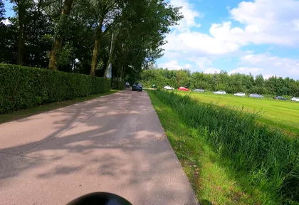
km 26.4 Photo: thewizard · CC BY-SA 4.0 · cropped -
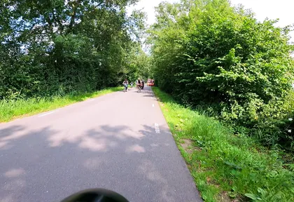
km 27.6 Photo: thewizard · CC BY-SA 4.0 · cropped -
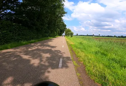
km 28.8 Photo: thewizard · CC BY-SA 4.0 · cropped -
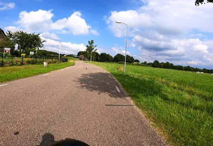
km 30 Photo: thewizard · CC BY-SA 4.0 · cropped -
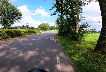
km 30.8 Photo: thewizard · CC BY-SA 4.0 · cropped -
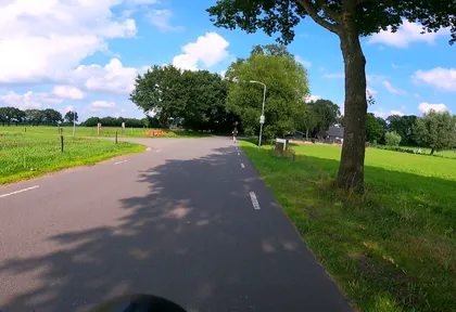
km 31.8 Photo: thewizard · CC BY-SA 4.0 · cropped -
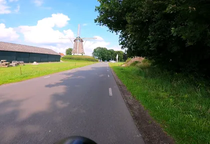
km 32.3 Photo: thewizard · CC BY-SA 4.0 · cropped -
km 32.3 De Duif Mill
-
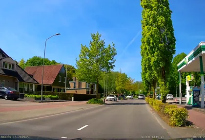
km 33.4 Photo: thewizard · CC BY-SA 4.0 · cropped
Ride this loop in the app
You’ll find the route in the app under Themed Routes — Radrunde guides you along it node by node.
- Guides you Node by node — you look at the signs, not at your screen
- Works without signal The network data is on your device — if you lose signal, your phone calculates the loop itself
- Free No account, no ads — the NRW network stays free for good

