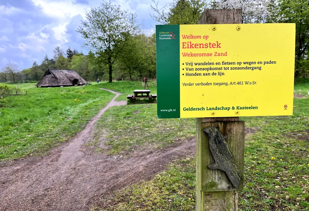
Themed route · Gelderland
Otterlo, Streams and Avenue
32 km approx. 2:08 h 27 hm Mostly asphalt
A curated route from the free Radrunde app — navigable node by node across the node network in the app.
32 kilometres of tarmac from Otterlo — through settlement and forest, over four streams and an avenue.
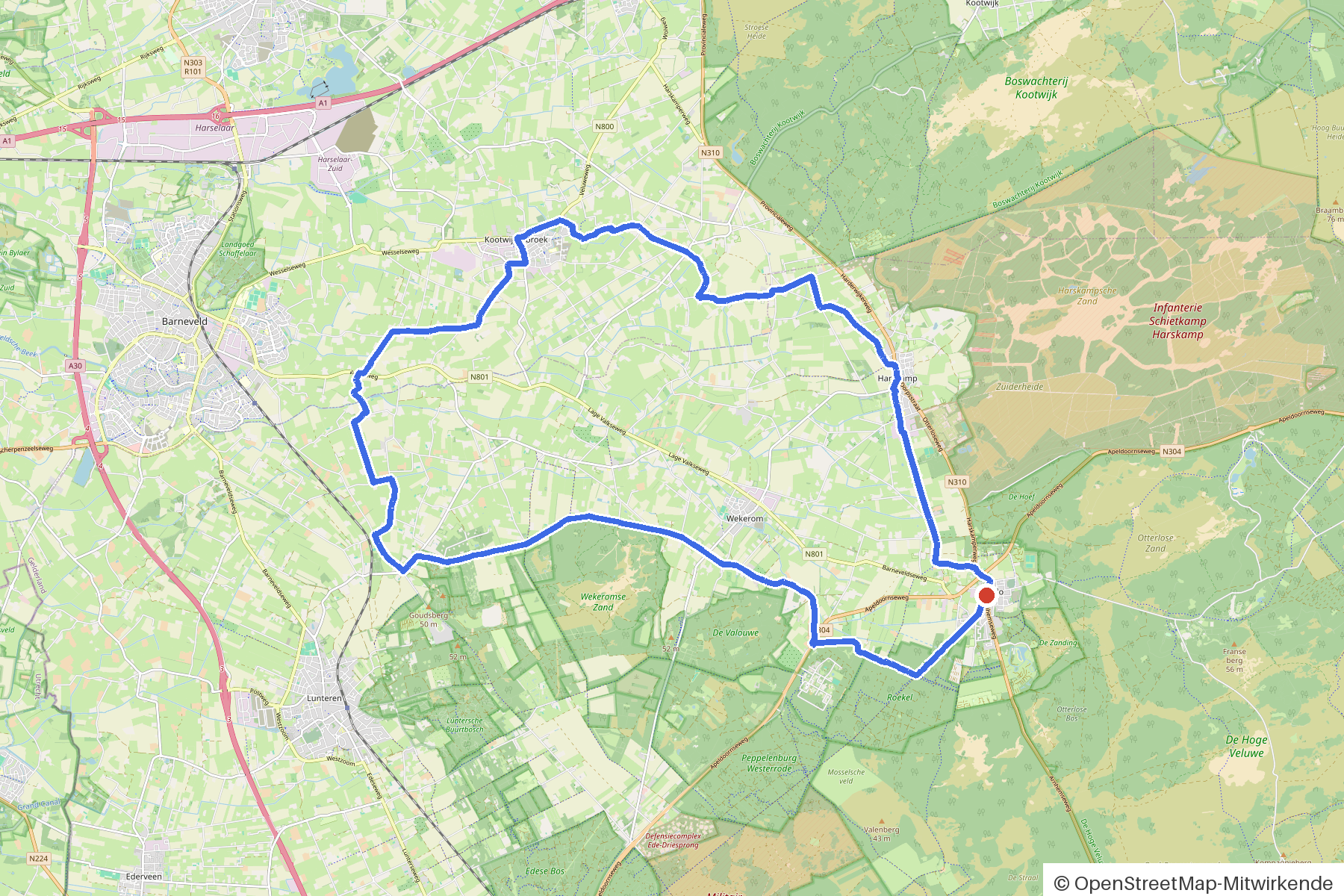
The route
You start in Otterlo. You cross Kleine Valkse Beek, Garderbroekse Beek, Overwoudse Beek and Valkse Beek, cross the Barneveldsche Beek and roll almost continuously on tarmac. The route is flat — 27 metres of climbing over 32 kilometres. Along the way you'll find two churches, two mills, the Celtic Fields museum and the Rode Kruismonument. If you fancy a break, you'll find the café 't Smulhuis and the rest stop Rust en Leesplaats.
- Distance
- 32 km
- Ascent
- 27 m
- Riding time
- approx. 2:08 h
- Surface
- Mostly asphalt
Along the route
km 0.0Start
In the app-
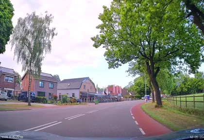
km 0.2 Photo: thewizard · CC BY-SA 4.0 · cropped -
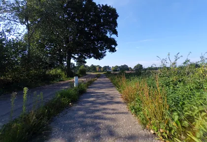
km 1 Photo: peewee32 · CC BY-SA 4.0 · cropped -
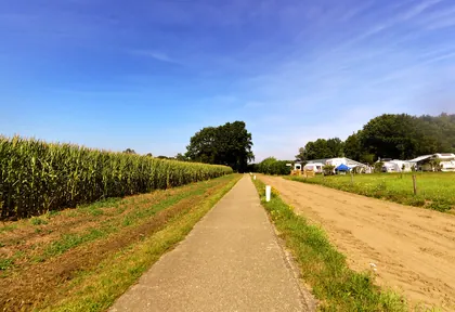
km 1.4 Photo: multimodaal · CC BY-SA 4.0 · cropped -
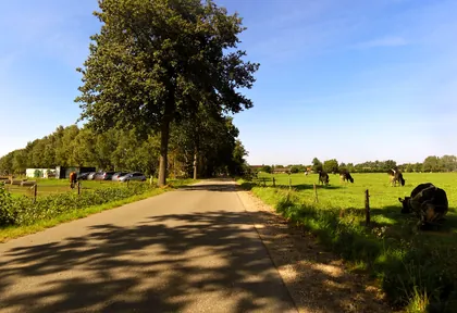
km 1.9 Photo: multimodaal · CC BY-SA 4.0 · cropped -
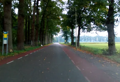
km 4.1 Photo: micmin1972 · CC BY-SA 4.0 · cropped -
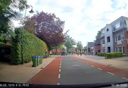
km 4.3 Photo: thewizard · CC BY-SA 4.0 · cropped -
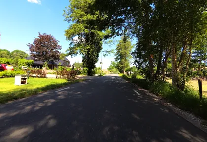
km 4.8 Photo: peewee32 · CC BY-SA 4.0 · cropped -
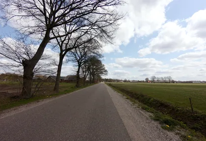
km 6.6 Photo: ankeric · CC BY-SA 4.0 · cropped -
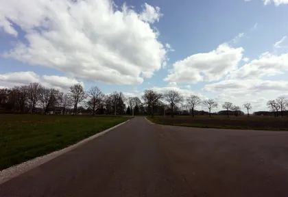
km 7.4 Photo: ankeric · CC BY-SA 4.0 · cropped -
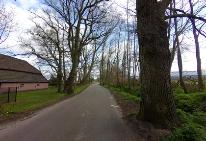
km 7.8 Photo: ankeric · CC BY-SA 4.0 · cropped -
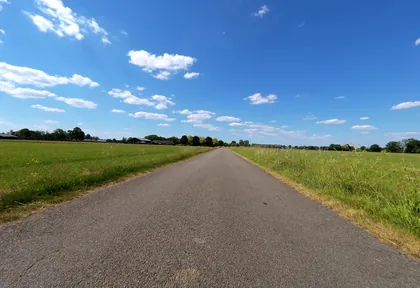
km 9.7 Photo: peewee32 · CC BY-SA 4.0 · cropped -
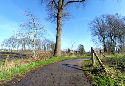
km 11 Photo: peewee32 · CC BY-SA 4.0 · cropped -
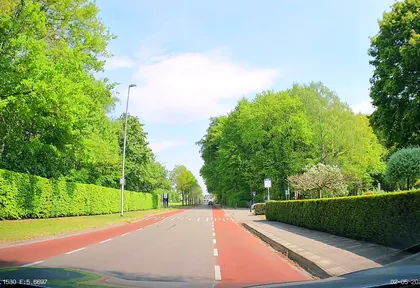
km 12 Photo: thewizard · CC BY-SA 4.0 · cropped -
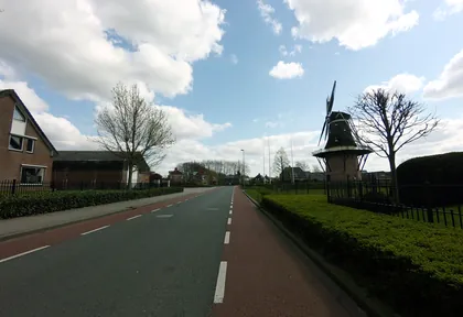
km 13 Photo: ankeric · CC BY-SA 4.0 · cropped -
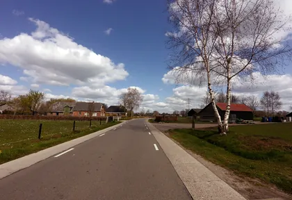
km 14.2 Photo: ankeric · CC BY-SA 4.0 · cropped -
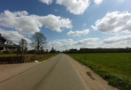
km 15.2 Photo: ankeric · CC BY-SA 4.0 · cropped -
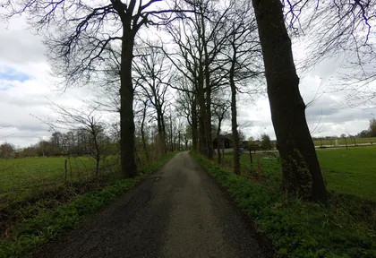
km 17 Photo: ankeric · CC BY-SA 4.0 · cropped -
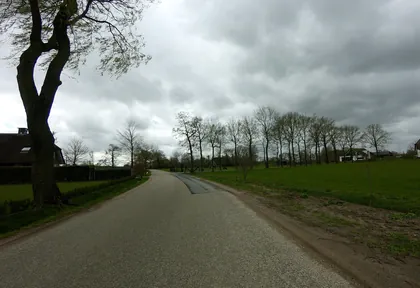
km 19.2 Photo: ankeric · CC BY-SA 4.0 · cropped -
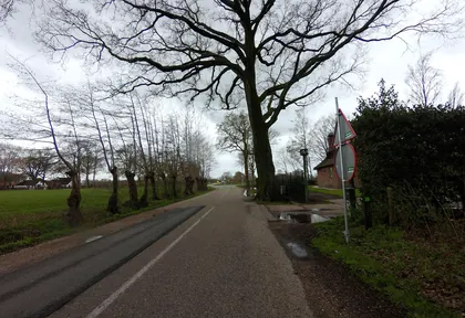
km 19.8 Photo: ankeric · CC BY-SA 4.0 · cropped -
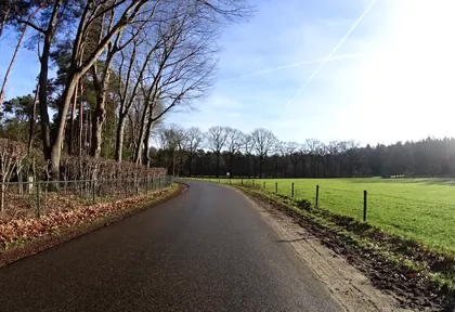
km 21.4 Photo: patrickek · CC BY-SA 4.0 · cropped -
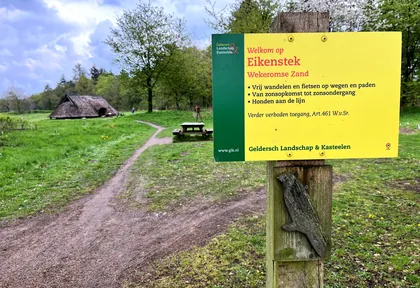
km 22.2 Photo: MartReiling · CC BY-SA 4.0 · cropped -
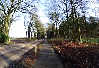
km 23.2 Photo: patrickek · CC BY-SA 4.0 · cropped -
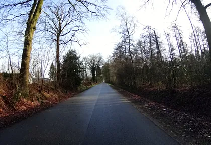
km 24.4 Photo: patrickek · CC BY-SA 4.0 · cropped -
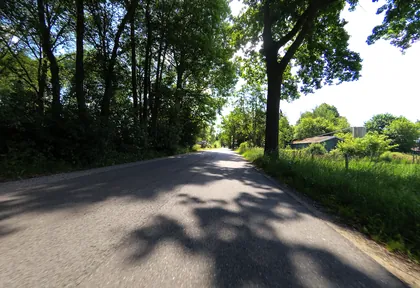
km 25.6 Photo: peewee32 · CC BY-SA 4.0 · cropped -
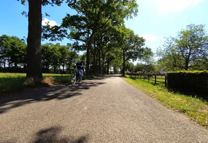
km 26.2 Photo: peewee32 · CC BY-SA 4.0 · cropped -
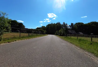
km 26.8 Photo: peewee32 · CC BY-SA 4.0 · cropped -
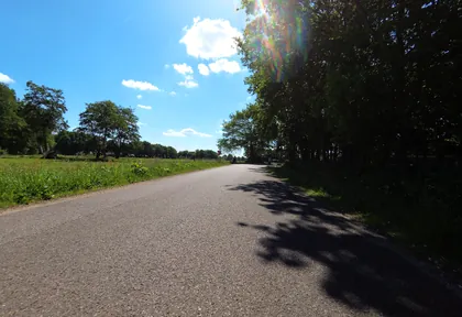
km 27.6 Photo: peewee32 · CC BY-SA 4.0 · cropped -
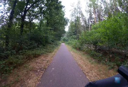
km 29.4 Photo: marczoutendijk · CC BY-SA 4.0 · cropped -
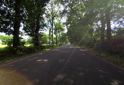
km 31.4 Photo: peewee32 · CC BY-SA 4.0 · cropped
Ride this loop in the app
You’ll find the route in the app under Themed Routes — Radrunde guides you along it node by node.
- Guides you Node by node — you look at the signs, not at your screen
- Works without signal The network data is on your device — if you lose signal, your phone calculates the loop itself
- Free No account, no ads — the NRW network stays free for good

