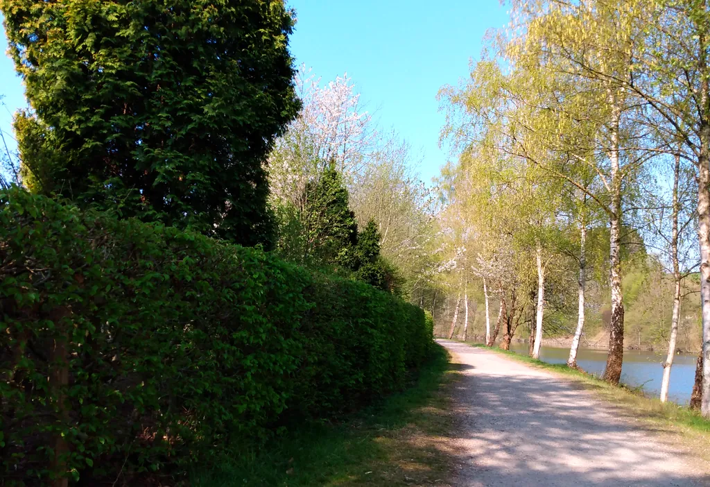
Themed route · Cologne/Bonn
Radevormwald, Wupper and Bilstein
34 km approx. 2:15 h 431 hm Mostly asphalt
A curated route from the free Radrunde app — navigable node by node across the node network in the app.
Hilly 34 kilometres through forest and settlement — four bridges, two viewpoints, several cafés along the way.
The route
You start in Radevormwald. You cross the Wupper, the Dörpe, Pöhlchenssiefen and Irlensterz — four bridges shape the route. There are also numerous streams and ravines that you cross. The stretch is hilly with 431 metres of climbing and descent, mostly on asphalt. Along the way lie the viewpoint Bilstein, the Rosengarten, Schloss Hückeswagen and several churches. If you fancy a break, you'll find cafés like the Nostalgie Eck, Jay's Café or Tiki Taka Caffè — and ice cream cafés like Moon or Dolce Vita.
- Distance
- 34 km
- Ascent
- 431 m
- Riding time
- approx. 2:15 h
- Surface
- Mostly asphalt
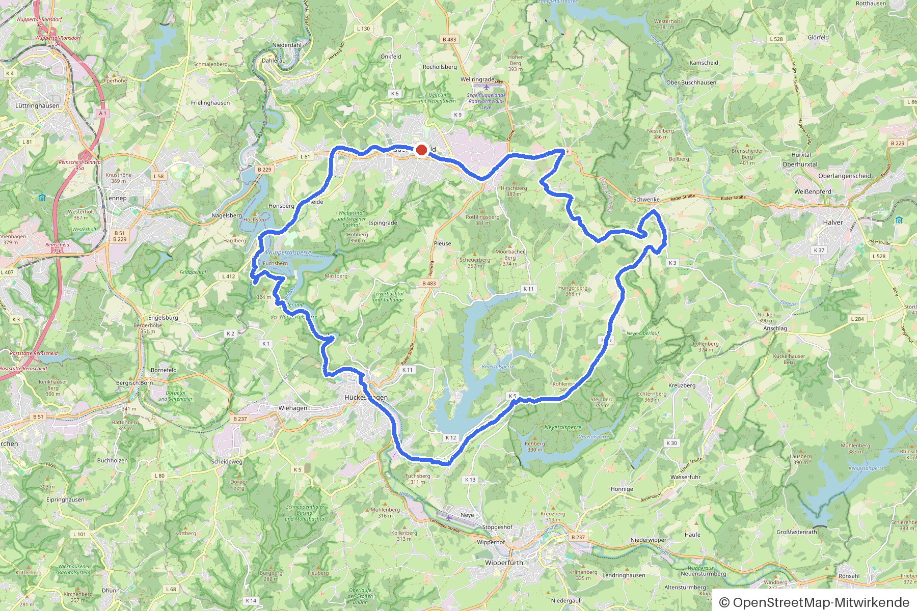
Along the route
km 0.0Start
In the app-
km 0.1 Around the start · 8 places Sankt Marien, Moon Eiscafé, Nostalgie Eck, Eiscafé Dolce Vita, Reformierte Kirche, Jay's Café, Lutherische Kirche, Tiki Taka Caffè
-
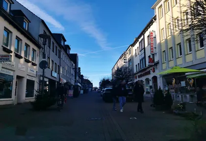
km 0.1 Photo: ASRvw · CC BY-SA 4.0 · cropped -
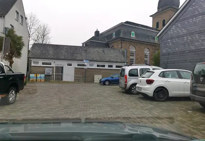
km 0.2 Photo: ASRvw · CC BY-SA 4.0 · cropped -
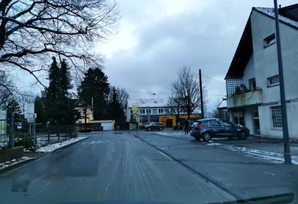
km 0.8 Photo: ASRvw · CC BY-SA 4.0 · cropped -
km 1.7 Frowein-Denkmal Monument
-
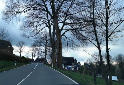
km 3.4 Photo: fuffel · CC BY-SA 4.0 · cropped -
km 5.2 Evangelische Kirche Kräwinklerbrücke Church
-
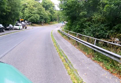
km 5.3 Photo: travelagentprofi · CC BY-SA 4.0 · cropped -
km 6.9 Bilstein Viewpoint
-
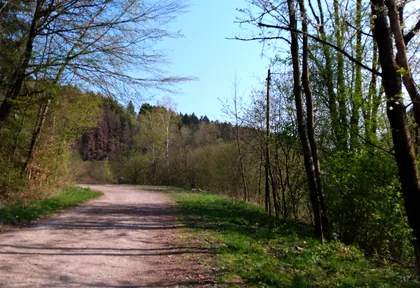
km 10 Photo: tobi23 · CC BY-SA 4.0 · cropped -
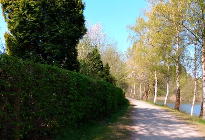
km 11.6 Photo: tobi23 · CC BY-SA 4.0 · cropped -
km 12.4 Around km 12.4 · 10 places Berliner Mauer, Friuli, Kriegerdenkmal/ Berliner Mauer, Schloss Hückeswagen, Kriegerdenkmal, Heimatmuseum, Heimatmuseum Hückeswagen, Rosengarten, Steinbrink, Bauer
-
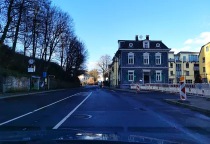
km 12.6 Photo: ASRvw · CC BY-SA 4.0 · cropped -
km 13.6 3 Städte Depot Museum
-
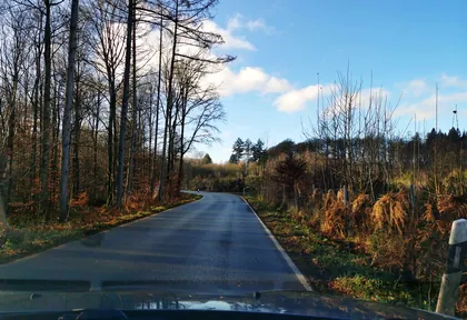
km 18.4 Photo: ASRvw · CC BY-SA 4.0 · cropped -
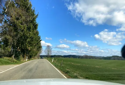
km 20.2 Photo: wladimir · CC BY-SA 4.0 · cropped -
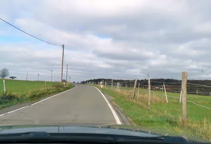
km 21.8 Photo: ASRvw · CC BY-SA 4.0 · cropped -
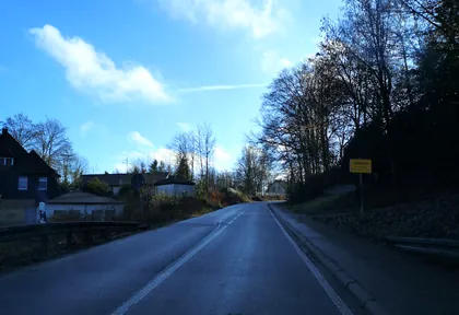
km 24.6 Photo: fuffel · CC BY-SA 4.0 · cropped -
km 24.6 Around km 24.6 · 2 places Bahnhof Schwenke, Gemeindehaus Schwenke
-
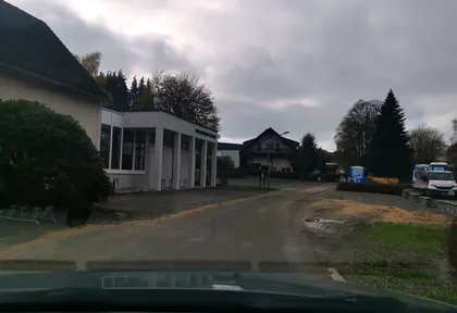
km 25.6 Photo: ASRvw · CC BY-SA 4.0 · cropped -
km 25.6 Freie evangelische Gemeinde Bever Church
-
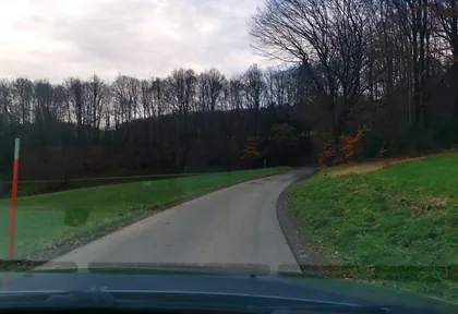
km 28 Photo: ASRvw · CC BY-SA 4.0 · cropped -
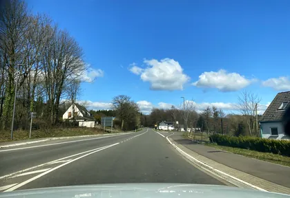
km 31.3 Photo: wladimir · CC BY-SA 4.0 · cropped
Ride this loop in the app
You’ll find the route in the app under Themed Routes — Radrunde guides you along it node by node.
- Guides you Node by node — you look at the signs, not at your screen
- Works without signal The network data is on your device — if you lose signal, your phone calculates the loop itself
- Free No account, no ads — the NRW network stays free for good

