Themed route · East Westphalia-Lippe
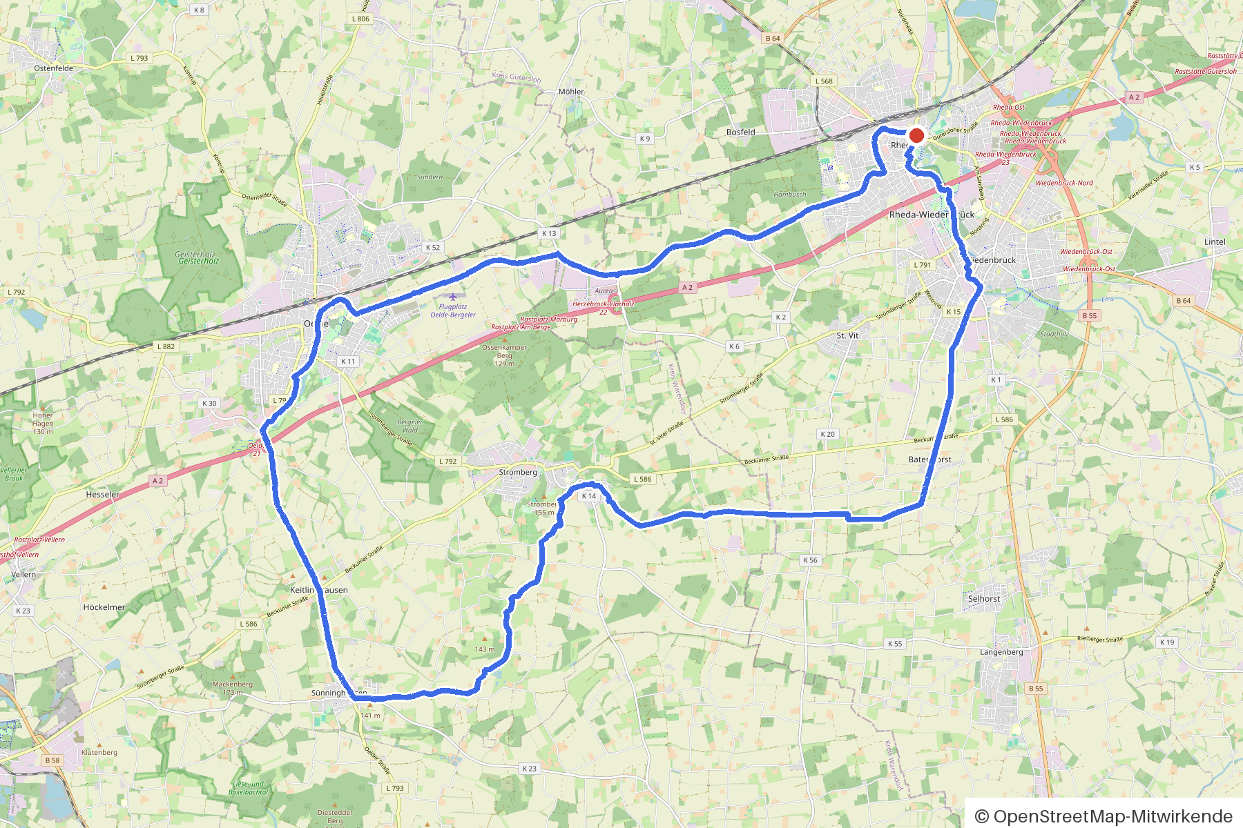
Rheda, Stromberg and four bridges
40 km approx. 2:40 h 218 hm Mostly asphalt
A curated route from the free Radrunde app — navigable node by node across the node network in the app.
Undulating 40 kilometres from Rheda — across four bridges, through an avenue, with cafés along the way.
The route
You start in Rheda. You cross Axtbach, Tollbach, Hamelbach and Ems on bridges, and pass Klaverbach, Bergeler Bach and several other streams alongside. The route is undulating — 218 metres of elevation gain over 40 kilometres, almost entirely on asphalt. Along the way you'll find four churches, the Kindermuseum KLIPP KLAPP and several monuments. If you fancy a break, you'll come across La Stazione, Bühlmeyers Landcafé, the Seecafe or karli.
- Distance
- 40 km
- Ascent
- 218 m
- Riding time
- approx. 2:40 h
- Surface
- Mostly asphalt
Along the route
km 0.0Start
In the app-
km 0 Photo: flohoff · CC BY-SA 4.0 · cropped -
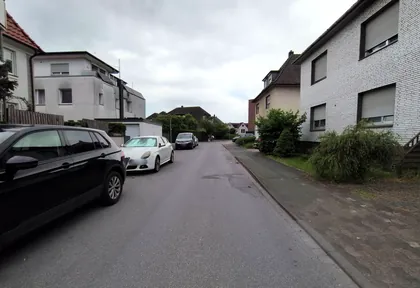
km 0.8 Photo: flohoff · CC BY-SA 4.0 · cropped -
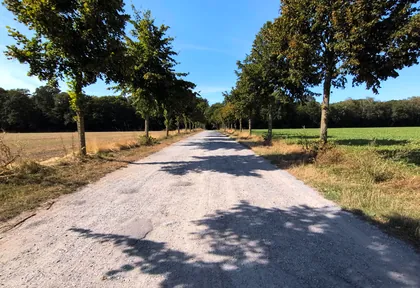
km 3.2 Photo: flohoff · CC BY-SA 4.0 · cropped -
km 5.4 Rämmelkenbrücke Monument
-
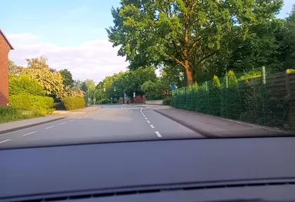
km 11.6 Photo: zuse · CC BY-SA 4.0 · cropped -
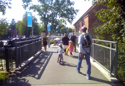
km 13.4 Photo: zuse · CC BY-SA 4.0 · cropped -
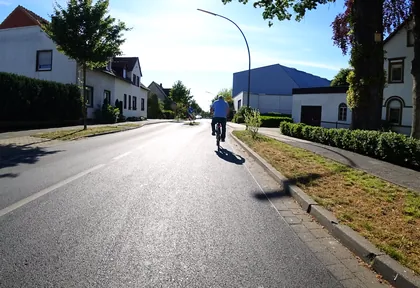
km 19.7 Photo: flohoff · CC BY-SA 4.0 · cropped -
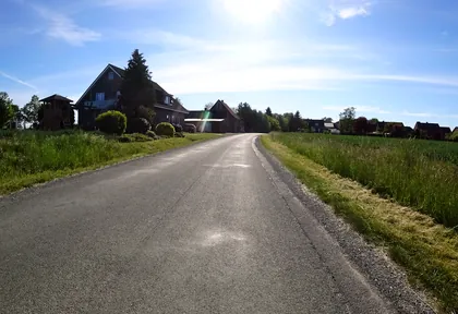
km 20.2 Photo: flohoff · CC BY-SA 4.0 · cropped -
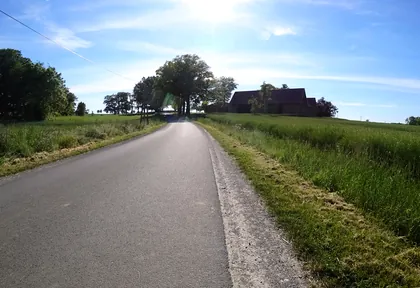
km 21.2 Photo: flohoff · CC BY-SA 4.0 · cropped -
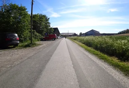
km 22.4 Photo: flohoff · CC BY-SA 4.0 · cropped -
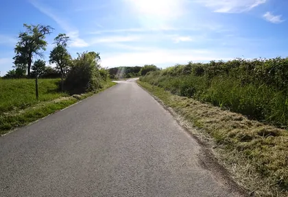
km 23.8 Photo: flohoff · CC BY-SA 4.0 · cropped -
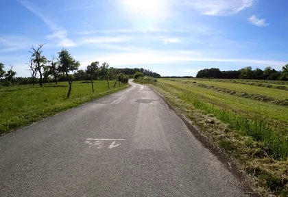
km 23.8 Photo: flohoff · CC BY-SA 4.0 · cropped -
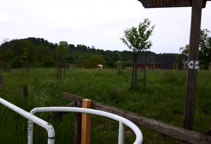
km 25 Photo: ankeric · CC BY-SA 4.0 · cropped -
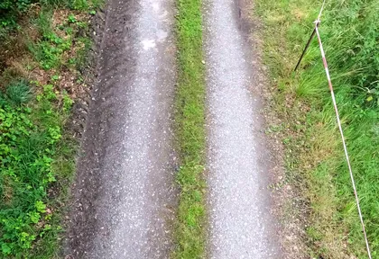
km 31.3 Photo: Foto123 · CC BY-SA 4.0 · cropped -
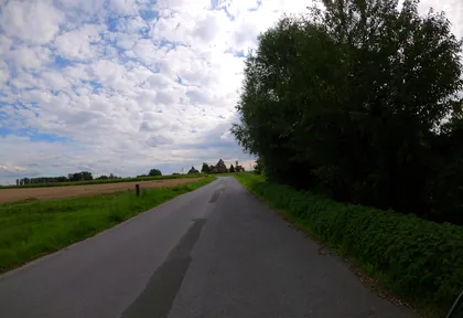
km 32.8 Photo: VIA_KK · CC BY-SA 4.0 · cropped -
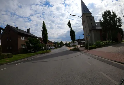
km 33.6 Photo: VIA_KK · CC BY-SA 4.0 · cropped -
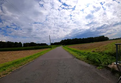
km 34.6 Photo: VIA_KK · CC BY-SA 4.0 · cropped -
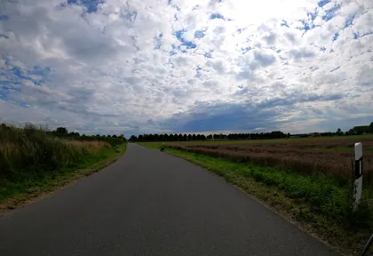
km 35.4 Photo: VIA_KK · CC BY-SA 4.0 · cropped -
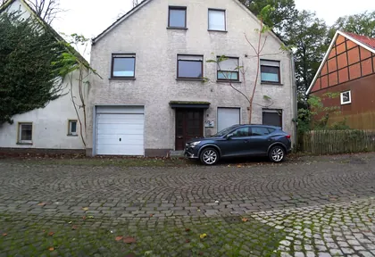
km 36.8 Photo: flohoff · CC BY-SA 4.0 · cropped -
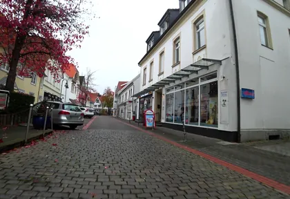
km 36.8 Photo: flohoff · CC BY-SA 4.0 · cropped -
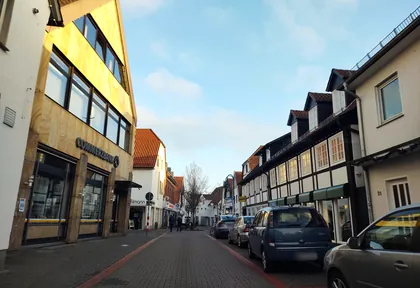
km 36.9 Photo: thetornado76 · CC BY-SA 4.0 · cropped -
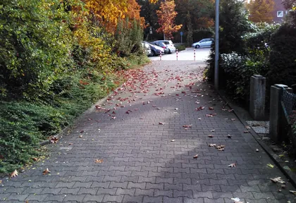
km 37.3 Photo: zuse · CC BY-SA 4.0 · cropped
Ride this loop in the app
You’ll find the route in the app under Themed Routes — Radrunde guides you along it node by node.
- Guides you Node by node — you look at the signs, not at your screen
- Works without signal The network data is on your device — if you lose signal, your phone calculates the loop itself
- Free No account, no ads — the NRW network stays free for good

