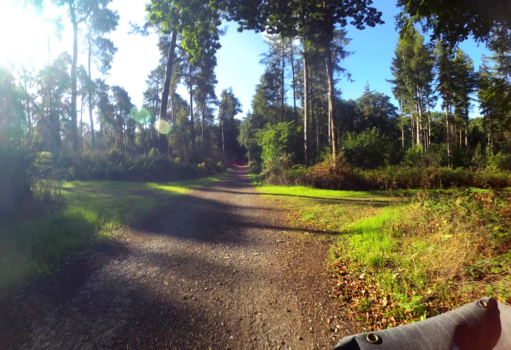
Themed route · Lower Rhine
Rheinberg, Kloster Kamp and Allee
31 km approx. 2:06 h 106 hm Mostly asphalt
A curated route from the free Radrunde app — navigable node by node across the node network in the app.
31 kilometres from Rheinberg to Kloster Kamp — over three bridges, through an allee, with churches and ice cafés along the way.
The route
You start in Rheinberg and roll on a flat route to the foot of Kloster Kamp. Along the way you cross the bridges over Grintgraben, Moersbach and Fossa Eugeniana, traverse the Alpsche Ley and cycle through an allee. The route is three-quarters tarmac, the rest gravel. Three churches lie on the route — the Evangelische Kirche Rheinberg, the Heiligenhäuschen and St. Mariä Himmelfahrt — as well as monuments such as the monument to Amplonius Rating de Berka. If you fancy a break, you'll find EisCafe Dolce Vita and Eiscafe Venezia.
- Distance
- 31 km
- Ascent
- 106 m
- Riding time
- approx. 2:06 h
- Surface
- Mostly asphalt
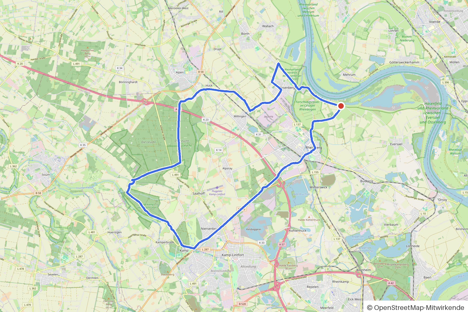
Along the route
km 0.0Start
In the app-
km 3 EisCafe Dolce Vita Ice cream parlour
-
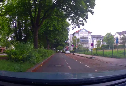
km 3.2 Photo: poxonline · CC BY-SA 4.0 · cropped -
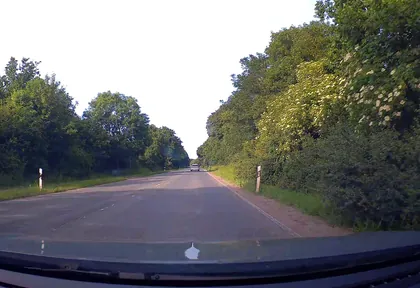
km 6.8 Photo: poxonline · CC BY-SA 4.0 · cropped -
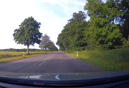
km 7.4 Photo: poxonline · CC BY-SA 4.0 · cropped -
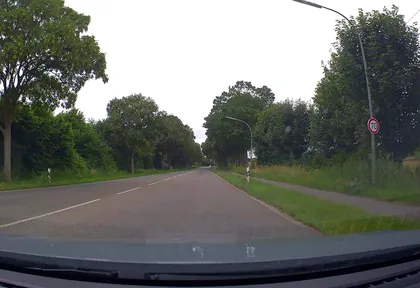
km 8.7 Photo: poxonline · CC BY-SA 4.0 · cropped -
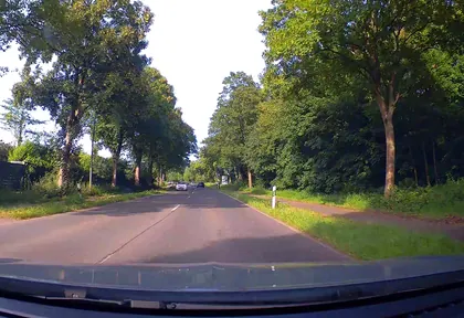
km 9.6 Photo: poxonline · CC BY-SA 4.0 · cropped -
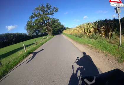
km 15.4 Photo: marczoutendijk · CC BY-SA 4.0 · cropped -
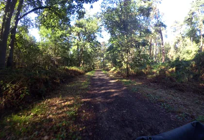
km 15.6 Photo: marczoutendijk · CC BY-SA 4.0 · cropped -
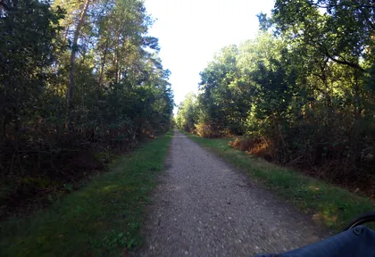
km 16 Photo: marczoutendijk · CC BY-SA 4.0 · cropped -
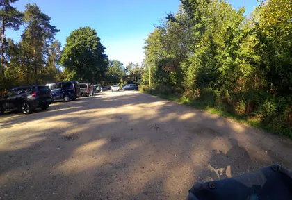
km 17 Photo: marczoutendijk · CC BY-SA 4.0 · cropped -
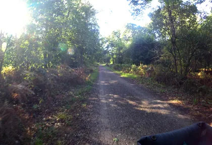
km 18.4 Photo: marczoutendijk · CC BY-SA 4.0 · cropped -
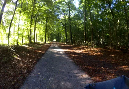
km 19.2 Photo: marczoutendijk · CC BY-SA 4.0 · cropped -
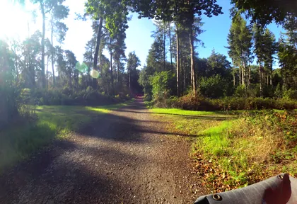
km 19.8 Photo: marczoutendijk · CC BY-SA 4.0 · cropped -
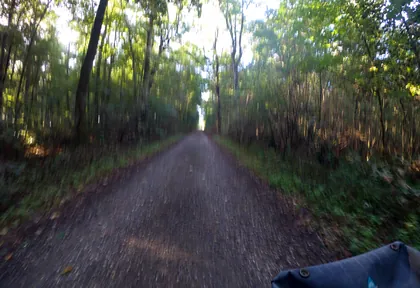
km 20.4 Photo: marczoutendijk · CC BY-SA 4.0 · cropped -
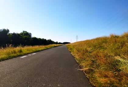
km 28.6 Photo: changchun1 · CC BY-SA 4.0 · cropped
Ride this loop in the app
You’ll find the route in the app under Themed Routes — Radrunde guides you along it node by node.
- Guides you Node by node — you look at the signs, not at your screen
- Works without signal The network data is on your device — if you lose signal, your phone calculates the loop itself
- Free No account, no ads — the NRW network stays free for good

