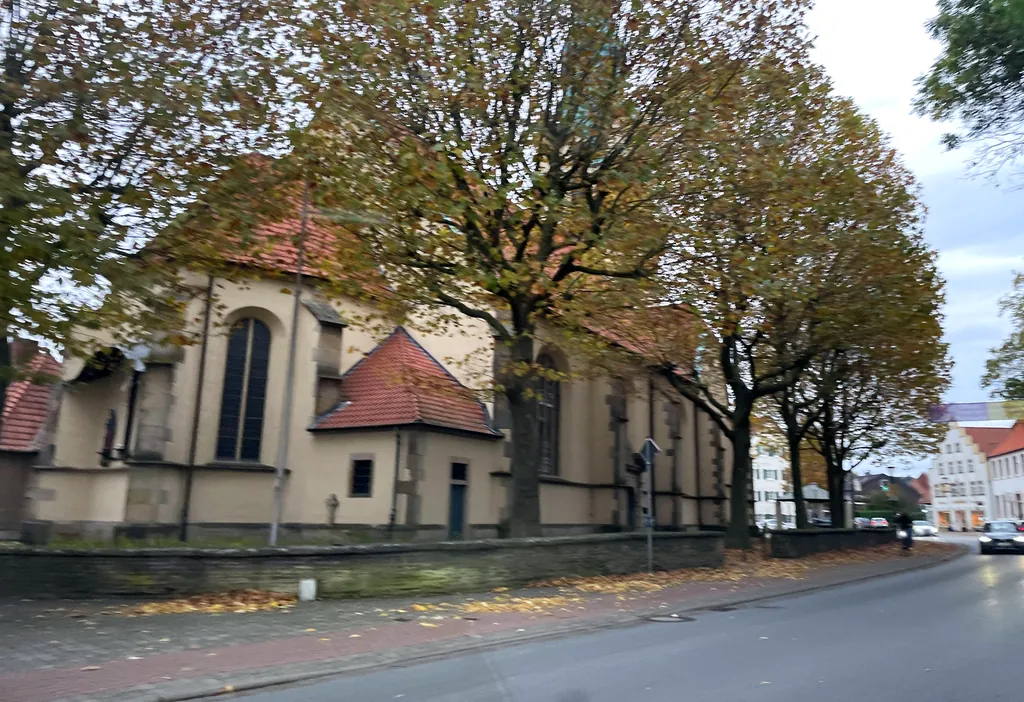
Themed route · Münsterland
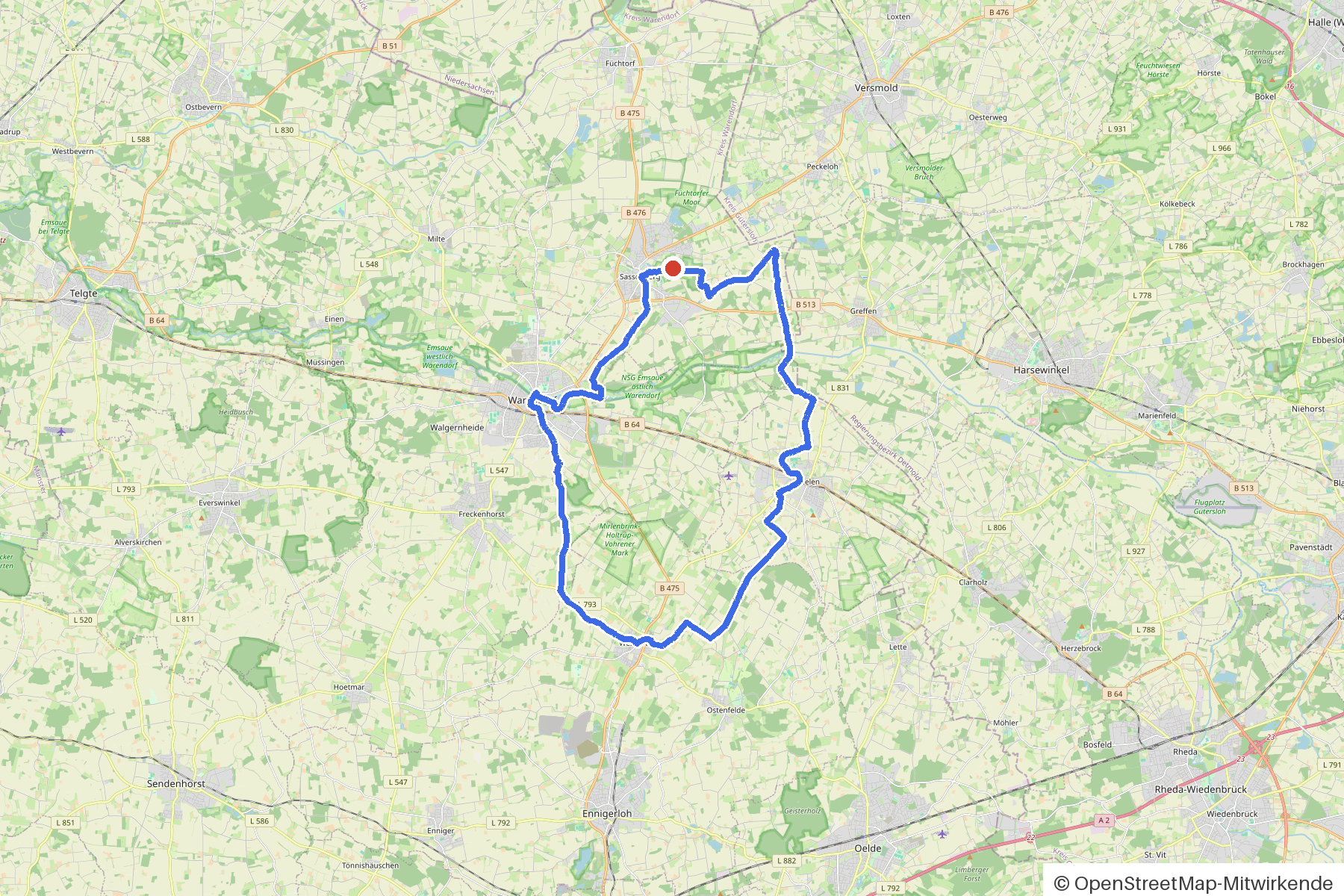
Sassenberg, Ems and six bridges
42 km approx. 2:47 h 79 hm Mostly asphalt
A curated route from the free Radrunde app — navigable node by node across the node network in the app.
42 kilometres through woodland and parks from Sassenberg — across six bridges, with cafés and museums along the way.
The route
You start in Sassenberg. You cross the Ems, the Flutbach, the Axtbach, the Beilbach, the Baarbach and the Hagenbach — six bridges shape this route. In between, you roll almost continuously on asphalt through woodland and parks, the route stays flat. Along the way you'll find two churches, four museums and several cafés; if you fancy a break, you'll find ice cream cafés, beer gardens and cafés like the Kiepenkerl or the Kosterei.
- Distance
- 42 km
- Ascent
- 79 m
- Riding time
- approx. 2:47 h
- Surface
- Mostly asphalt
Along the route
km 0.0Start
In the app-
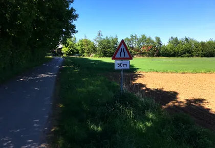
km 11.3 Photo: fuchs · CC BY-SA 4.0 · cropped -
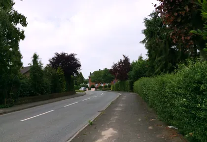
km 13.4 Photo: oldfuchs8w745g · CC BY-SA 4.0 · cropped -
km 13.6 Eiscafe Lino Ice cream parlour
-
km 22.9 St. Laurentius Church
-
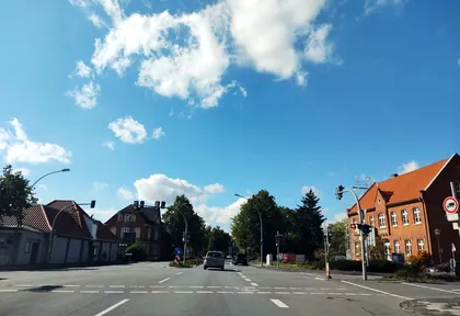
km 32.3 Photo: thetornado76 · CC BY-SA 4.0 · cropped -
km 32.3 Around km 32.3 · 4 places Torschreiberhaus, Museum Heinrich Friederichs, Café Engelchen, Café Conditorei Hülsmann
-
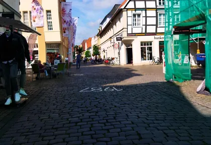
km 32.8 Photo: changchun1 · CC BY-SA 4.0 · cropped -
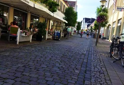
km 32.8 Photo: changchun1 · CC BY-SA 4.0 · cropped -
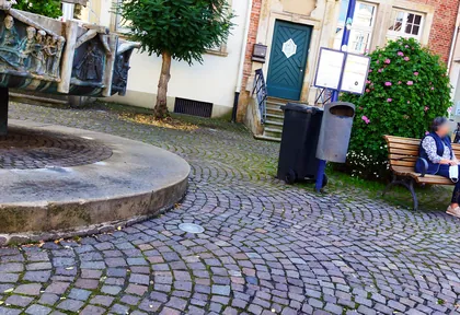
km 32.8 Photo: changchun1 · CC BY-SA 4.0 · cropped -
km 32.9 Around km 32.9 · 3 places In Mezzo, Daily One, Historisches Rathaus
-
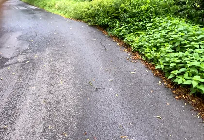
km 33.4 Photo: Sander123 · CC BY-SA 4.0 · cropped -
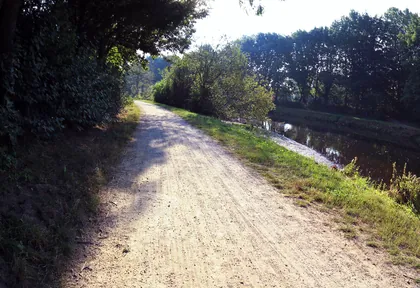
km 34.2 Photo: marczoutendijk · CC BY-SA 4.0 · cropped -
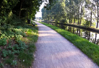
km 34.4 Photo: marczoutendijk · CC BY-SA 4.0 · cropped -
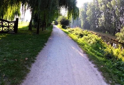
km 35.6 Photo: marczoutendijk · CC BY-SA 4.0 · cropped -
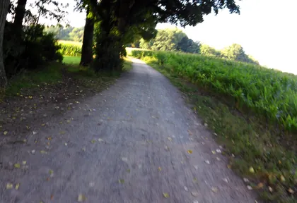
km 35.8 Photo: marczoutendijk · CC BY-SA 4.0 · cropped -
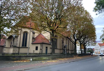
km 40.6 Photo: baldur80 · CC BY-SA 4.0 · cropped -
km 40.7 St. Johannes Evangelist Church
Ride this loop in the app
You’ll find the route in the app under Themed Routes — Radrunde guides you along it node by node.
- Guides you Node by node — you look at the signs, not at your screen
- Works without signal The network data is on your device — if you lose signal, your phone calculates the loop itself
- Free No account, no ads — the NRW network stays free for good

