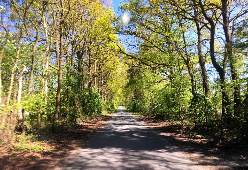
Themed route · Münsterland
Steinfurt, Mills and Four Bridges
32 km approx. 2:08 h 166 hm Mostly asphalt
A curated route from the free Radrunde app — navigable node by node across the node network in the app.
32 kilometres through Steinfurt and the surrounding area — across four bridges, past four churches and several mills.
The route
You start in Steinfurt and roll along nearly 88 per cent asphalt through undulating countryside. Along the way you cross the Steinfurter Aa, the Gauxbach, the Stroothbach and the Vechte. The route takes you past four churches, including St. Brictius and the Johanneskirche, as well as four mills — Schlossmühle, Brüningmühle, Wennings Mühle and Schmeddings Doppelmühle. Schloss Steinfurt and several monuments lie along the way. If you fancy a break, you'll find cafés such as the Machina Milch- und Kaffeewerkstatt, the Biercafé Niveau or the ice cream cafés Da Marco and Eis und kalt.
- Distance
- 32 km
- Ascent
- 166 m
- Riding time
- approx. 2:08 h
- Surface
- Mostly asphalt
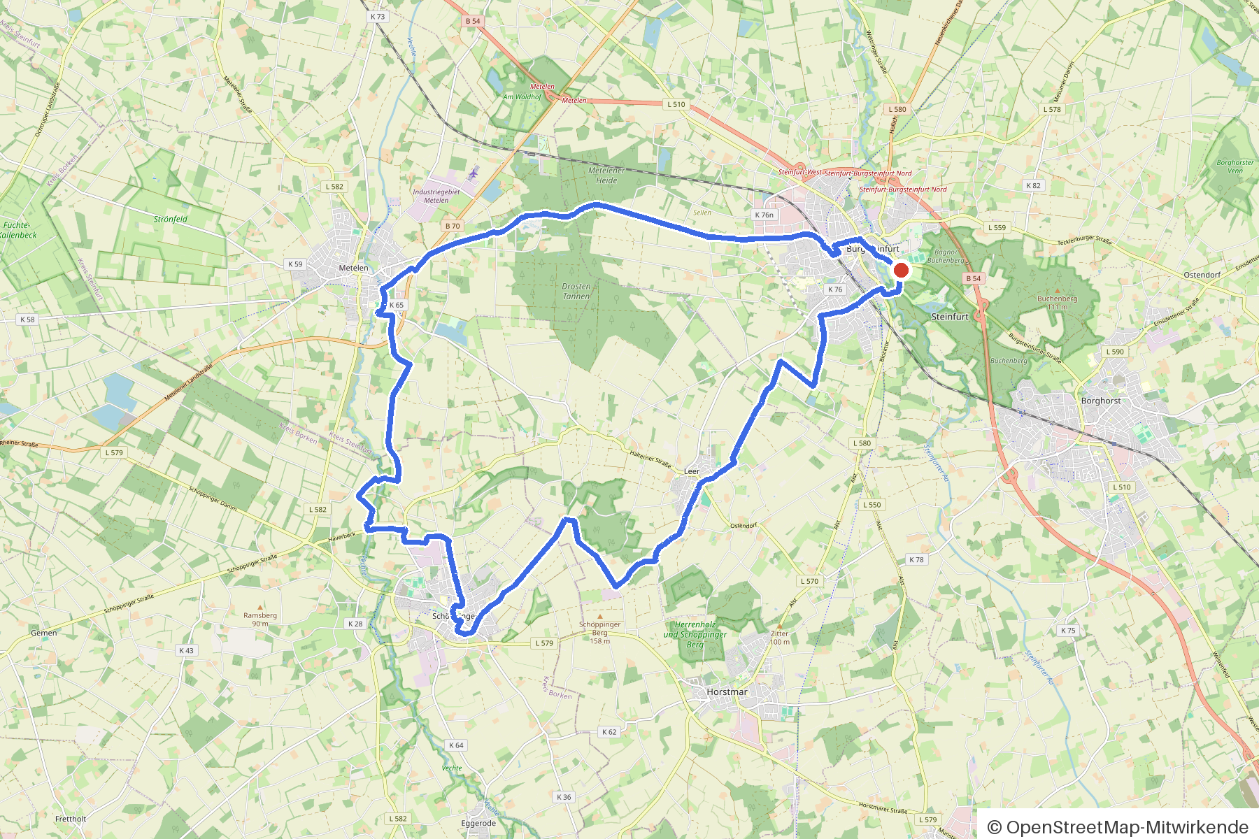
Along the route
km 0.0Start
In the app-
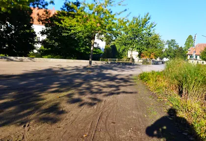
km 0.2 Photo: changchun1 · CC BY-SA 4.0 · cropped -
km 0.3 Around the start · 2 places Schloss Steinfurt, Eiscafé "Da Marco"
-
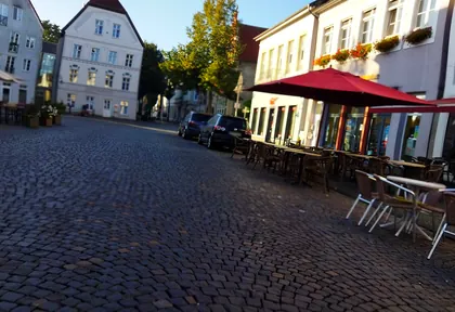
km 0.6 Photo: changchun1 · CC BY-SA 4.0 · cropped -
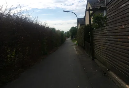
km 1.8 Photo: descilla · CC BY-SA 4.0 · cropped -
km 2.2 Neuapostolische Kirche Church
-
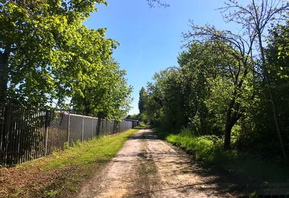
km 3.2 Photo: descilla · CC BY-SA 4.0 · cropped -
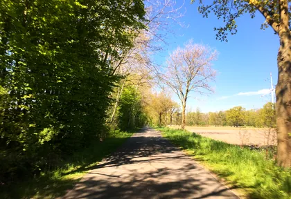
km 4.1 Photo: descilla · CC BY-SA 4.0 · cropped -
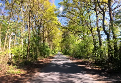
km 4.5 Photo: descilla · CC BY-SA 4.0 · cropped -
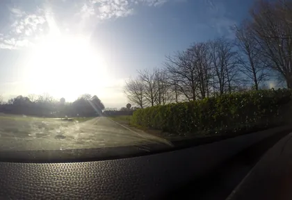
km 15.4 Photo: commodoortje · CC BY-SA 4.0 · cropped -
km 18.8 Eiscafe Eis und kalt Ice cream parlour
-
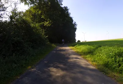
km 23.4 Photo: peewee32 · CC BY-SA 4.0 · cropped -
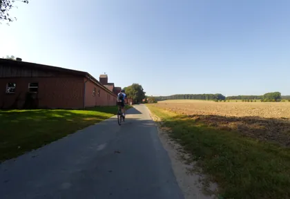
km 24.6 Photo: peewee32 · CC BY-SA 4.0 · cropped -
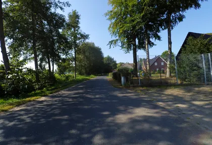
km 25.8 Photo: peewee32 · CC BY-SA 4.0 · cropped -
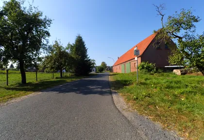
km 26 Photo: peewee32 · CC BY-SA 4.0 · cropped -
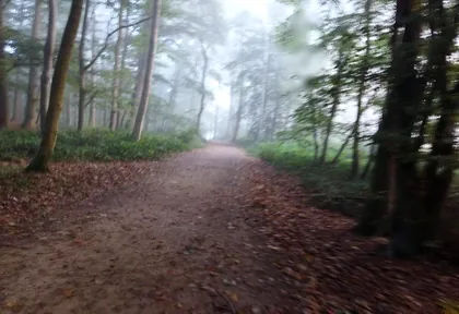
km 29.4 Photo: changchun1 · CC BY-SA 4.0 · cropped -
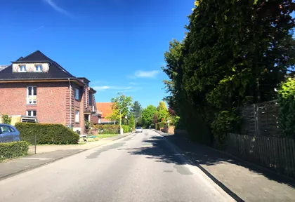
km 30.5 Photo: descilla · CC BY-SA 4.0 · cropped -
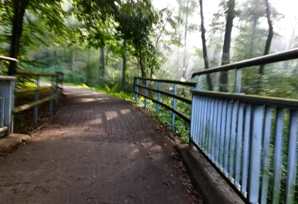
km 31.4 Photo: changchun1 · CC BY-SA 4.0 · cropped -
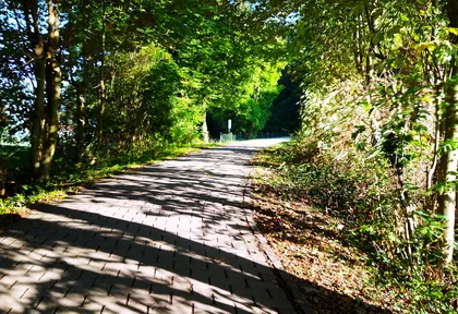
km 31.6 Photo: changchun1 · CC BY-SA 4.0 · cropped -
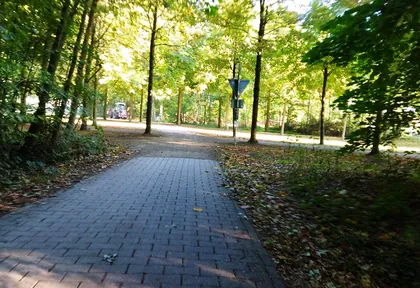
km 31.9 Photo: changchun1 · CC BY-SA 4.0 · cropped
Ride this loop in the app
You’ll find the route in the app under Themed Routes — Radrunde guides you along it node by node.
- Guides you Node by node — you look at the signs, not at your screen
- Works without signal The network data is on your device — if you lose signal, your phone calculates the loop itself
- Free No account, no ads — the NRW network stays free for good

