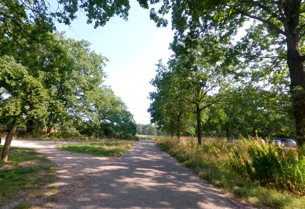
Themed route · Limburg
Venlo, Steyl and Baarlo — four bridges
34 km approx. 2:15 h 99 hm Mostly asphalt
A curated route from the free Radrunde app — navigable node by node across the node network in the app.
34 kilometres from Venlo to Steyl and Baarlo — across four bridges, past churches and museums.
The route
You start in Venlo. You cross the Kwistbeek, Springbeek, Everlose Beek and the Maas — four distinctive bridges shape the route. Along the way you'll find several churches, the Museum van Bommel van Dam, the Limburgs Museum and the Keramiekcentrum Tiendschuur in Tegelen. The route is flat, 34 kilometres mostly on asphalt, with settlements and parks alternating. If you fancy a break, you'll find cafés along the way such as De Posterij, the Museumcafé or Gasterij Groote Heide.
- Distance
- 34 km
- Ascent
- 99 m
- Riding time
- approx. 2:15 h
- Surface
- Mostly asphalt
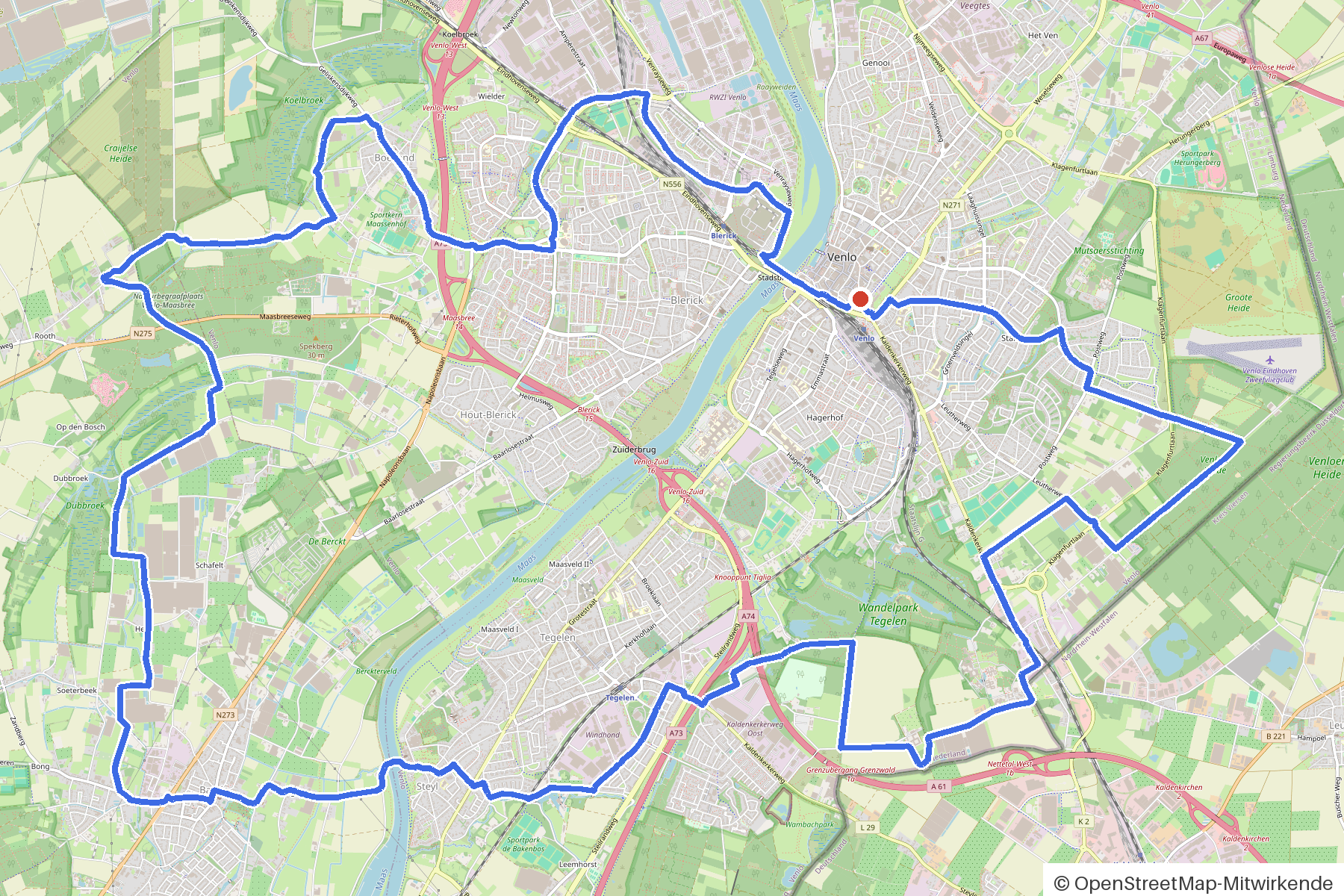
Along the route
km 0.0Start
In the app-
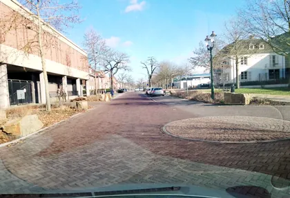
km 0 Photo: joopjrvdl · CC BY-SA 4.0 · cropped -
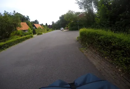
km 1.6 Photo: mfa · CC BY-SA 4.0 · cropped -
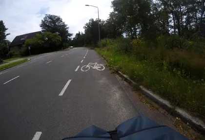
km 2 Photo: mfa · CC BY-SA 4.0 · cropped -
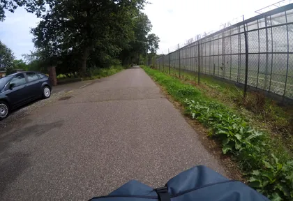
km 3 Photo: mfa · CC BY-SA 4.0 · cropped -
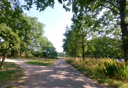
km 3.5 Photo: hektor1989 · CC BY-SA 4.0 · cropped -
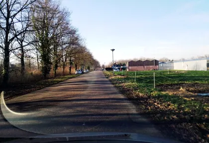
km 5.7 Photo: joopjrvdl · CC BY-SA 4.0 · cropped -
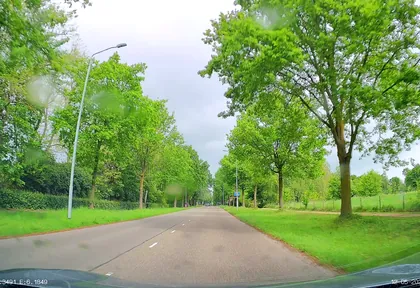
km 6.5 Photo: thewizard · CC BY-SA 4.0 · cropped -
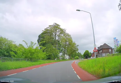
km 7.2 Photo: thewizard · CC BY-SA 4.0 · cropped -
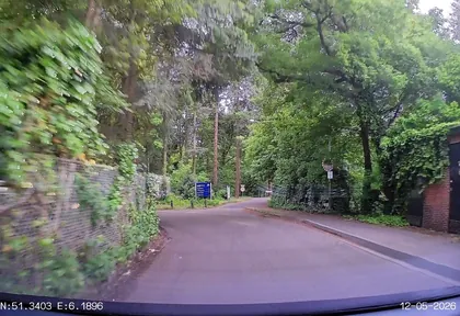
km 7.6 Photo: thewizard · CC BY-SA 4.0 · cropped -
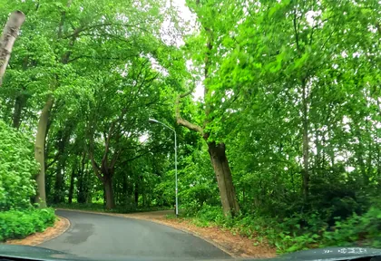
km 9 Photo: thewizard · CC BY-SA 4.0 · cropped -
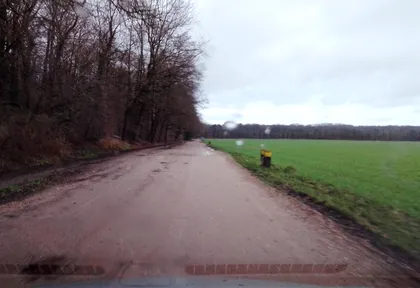
km 10.2 Photo: joopjrvdl · CC BY-SA 4.0 · cropped -
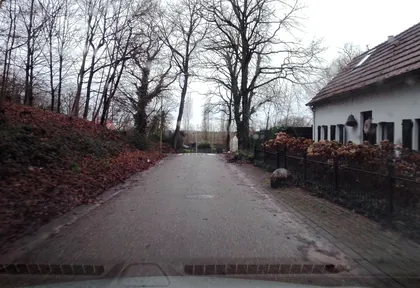
km 11 Photo: joopjrvdl · CC BY-SA 4.0 · cropped -
km 12.6 Kefee D'n Tunnel Café
-
km 13.7 Kasteel Holtmühle Palace
-
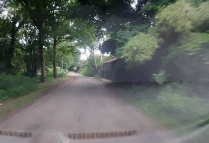
km 14 Photo: joopjrvdl · CC BY-SA 4.0 · cropped -
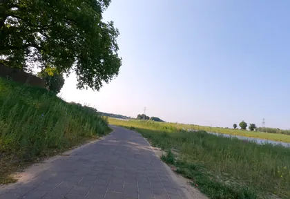
km 15.2 Photo: hektor1989 · CC BY-SA 4.0 · cropped -
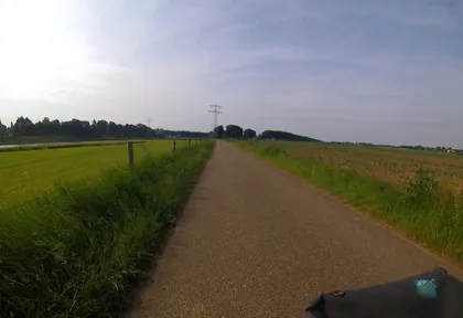
km 15.6 Photo: marczoutendijk · CC BY-SA 4.0 · cropped -
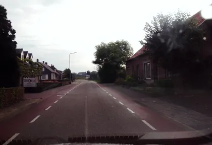
km 16.2 Photo: joopjrvdl · CC BY-SA 4.0 · cropped -
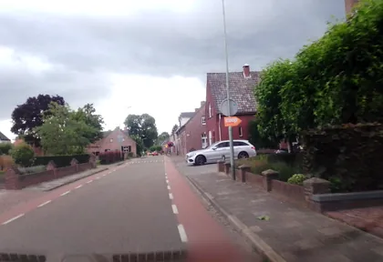
km 17.1 Photo: joopjrvdl · CC BY-SA 4.0 · cropped -
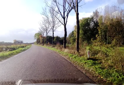
km 20.6 Photo: joopjrvdl · CC BY-SA 4.0 · cropped -
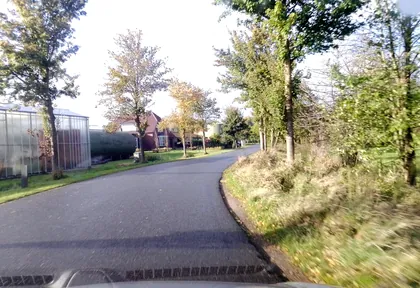
km 21.6 Photo: joopjrvdl · CC BY-SA 4.0 · cropped -
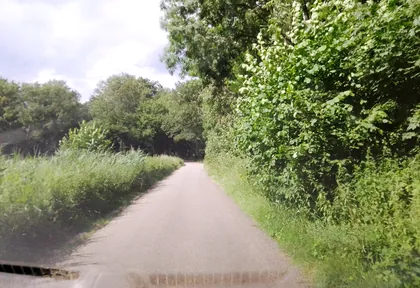
km 22.2 Photo: joopjrvdl · CC BY-SA 4.0 · cropped -
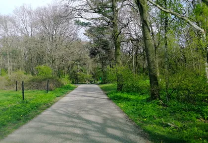
km 23.2 Photo: joopjrvdl · CC BY-SA 4.0 · cropped -
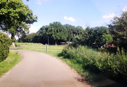
km 24.2 Photo: joopjrvdl · CC BY-SA 4.0 · cropped -
km 25 Photo: joopjrvdl · CC BY-SA 4.0 · cropped -
km 26.4 Photo: joopjrvdl · CC BY-SA 4.0 · cropped -
km 27.1 Onbevlekt Hart van Maria Church
-
km 27.8 Photo: joopjrvdl · CC BY-SA 4.0 · cropped -
km 32 Photo: joopjrvdl · CC BY-SA 4.0 · cropped
Ride this loop in the app
You’ll find the route in the app under Themed Routes — Radrunde guides you along it node by node.
- Guides you Node by node — you look at the signs, not at your screen
- Works without signal The network data is on your device — if you lose signal, your phone calculates the loop itself
- Free No account, no ads — the NRW network stays free for good

