Themed route · Lower Rhine
Xanten, Rhine and Castle Lakes
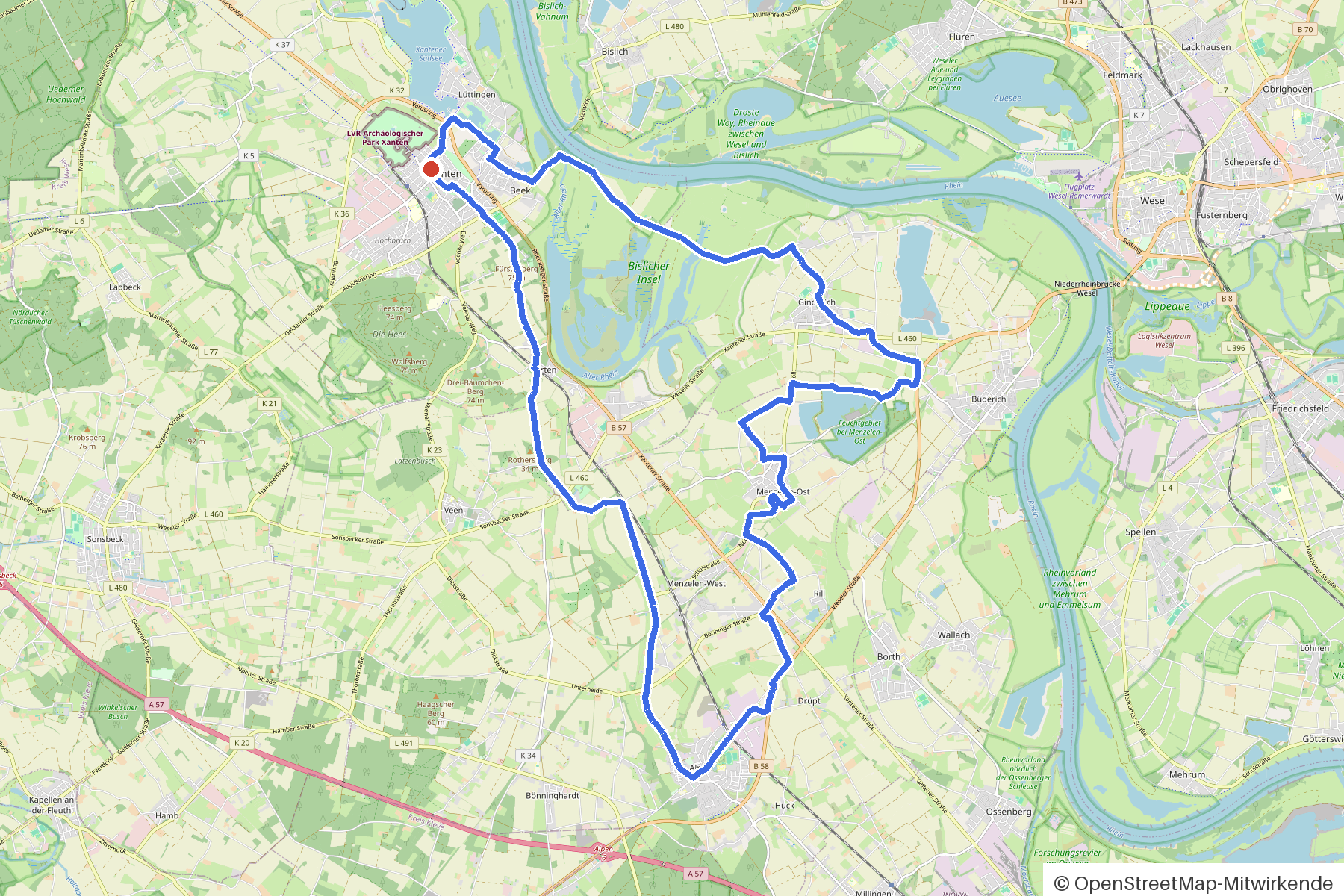
35 km approx. 2:21 h 105 hm Mostly asphalt
A curated route from the free Radrunde app — navigable node by node across the node network in the app.
35 kilometres from Xanten across three bridges, past six churches and the species protection tower — almost entirely on asphalt.
The route
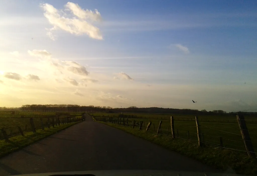
You start in Xanten. You cross the Winnenthaler Kanal, the Breite Wardtley and the Alter Rhine, passing several Leye waterways and rolling along a flat route almost entirely on asphalt. Along the way lie the Burg von Alpen, the SiegfriedMuseum and the NaturForum Bislicher Insel with its species protection tower. Six churches line the route — including St. Viktor in Xanten and St. Walburgis. If you fancy a break, you'll find several cafés and ice cream cafés along the way.
- Distance
- 35 km
- Ascent
- 105 m
- Riding time
- approx. 2:21 h
- Surface
- Mostly asphalt
Along the route
km 0.0Start
In the app-
km 3.7 St. Viktor Church
-
km 5.9 Photo: poxonline · CC BY-SA 4.0 · cropped -
km 6.2 Photo: cAble_Guy · CC BY-SA 4.0 · cropped -
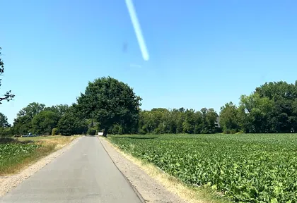
km 6.6 Photo: cAble_Guy · CC BY-SA 4.0 · cropped -
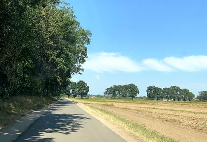
km 7.6 Photo: cAble_Guy · CC BY-SA 4.0 · cropped -
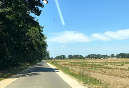
km 8 Photo: cAble_Guy · CC BY-SA 4.0 · cropped -
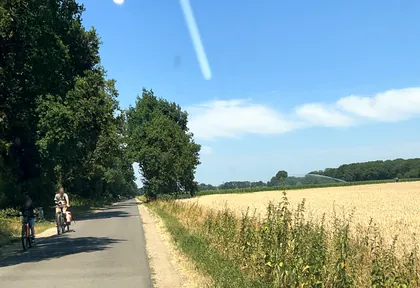
km 8.6 Photo: cAble_Guy · CC BY-SA 4.0 · cropped -
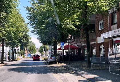
km 12 Photo: cAble_Guy · CC BY-SA 4.0 · cropped -
km 12 Around km 12 · 2 places Eiscafe Venezia, Evangelische Kirche Alpen
-
km 27.9 Photo: thetornado76 · CC BY-SA 4.0 · cropped -
km 28 Photo: thetornado76 · CC BY-SA 4.0 · cropped -
km 28.8 Photo: thetornado76 · CC BY-SA 4.0 · cropped -
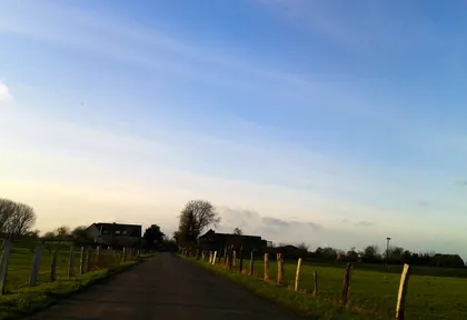
km 29.6 Photo: thetornado76 · CC BY-SA 4.0 · cropped -
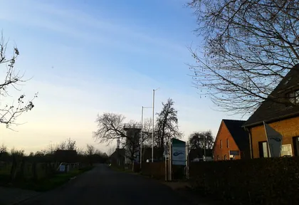
km 29.9 Photo: thetornado76 · CC BY-SA 4.0 · cropped -
km 29.9 NaturForum Bislicher Insel Museum
-
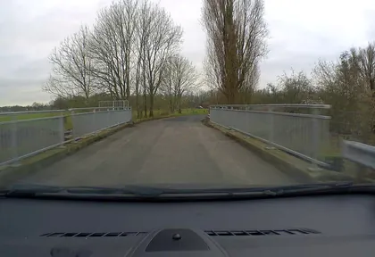
km 31.5 Photo: poxonline · CC BY-SA 4.0 · cropped -
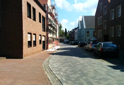
km 35 Photo: klaus · CC BY-SA 4.0 · cropped -
km 35.2 Kriemhildmühle Mill
Ride this loop in the app
You’ll find the route in the app under Themed Routes — Radrunde guides you along it node by node.
- Guides you Node by node — you look at the signs, not at your screen
- Works without signal The network data is on your device — if you lose signal, your phone calculates the loop itself
- Free No account, no ads — the NRW network stays free for good

