Themed route · Aachen & Eifel
Zülpich, Börde and Burg Kommern
35 km approx. 2:21 h 267 hm Mostly asphalt
A curated route from the free Radrunde app — navigable node by node across the node network in the app.
35 kilometres across the Zülpich Börde — bridges, an avenue and several churches.
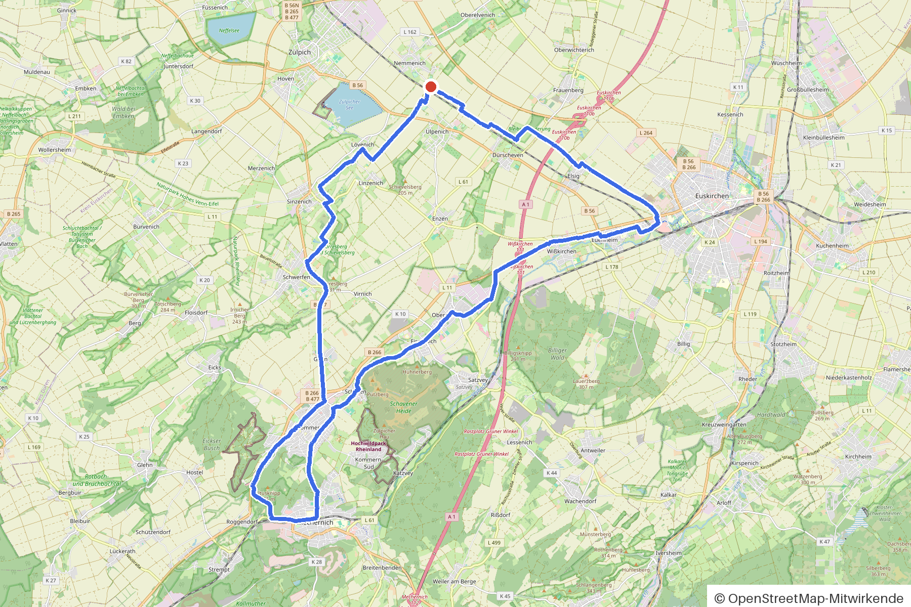
The route
You start in Zülpich. You roll across the Börde, crossing Rotbach, Mühlengraben and Bleibach along the way and passing seven churches. An avenue shapes a section of the route. The round is undulating — 267 metres of climbing over 35 kilometres, almost entirely on asphalt. Burg Kommern lies on your way, and if you fancy a break, you'll find cafés and ice-cream cafés in the villages.
- Distance
- 35 km
- Ascent
- 267 m
- Riding time
- approx. 2:21 h
- Surface
- Mostly asphalt
Along the route
km 0.0Start
In the app-
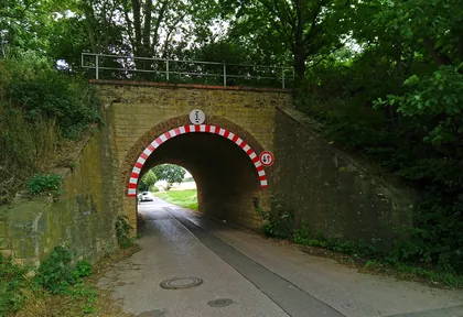
km 0.1 Photo: themartinix · CC BY-SA 4.0 · cropped -
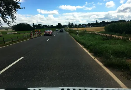
km 1 Photo: raymond · CC BY-SA 4.0 · cropped -
km 2.8 St. Agnes Church
-
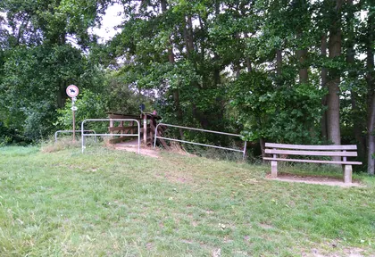
km 4.6 Photo: themartinix · CC BY-SA 4.0 · cropped -
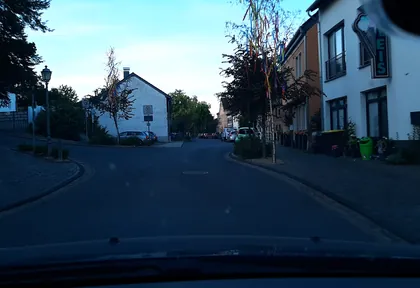
km 10.9 Photo: eifelkobold · CC BY-SA 4.0 · cropped -
km 10.9 Around km 10.9 · 2 places Eiscafé Constantin, Burg Kommern
-
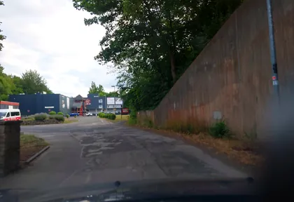
km 11.8 Photo: eifelkobold · CC BY-SA 4.0 · cropped -
km 12.7 Around km 12.7 · 2 places Bistro im Mühlenpark, Lok und Lore
-
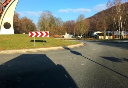
km 13 Photo: raymond · CC BY-SA 4.0 · cropped -
km 15.1 Eiscafé La-Rosá Ice cream parlour
-
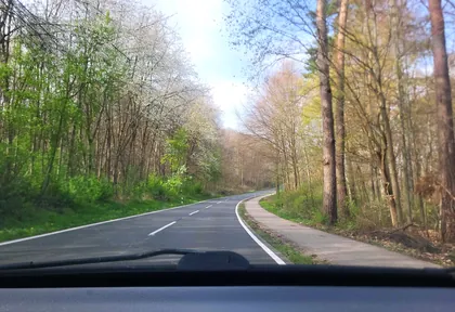
km 16.2 Photo: walldi222 · CC BY-SA 4.0 · cropped -
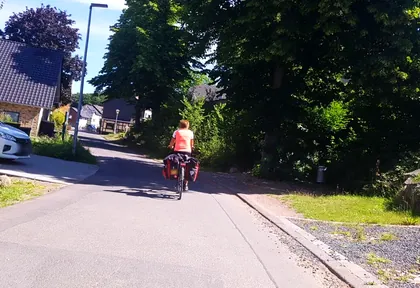
km 18.7 Photo: changchun1 · CC BY-SA 4.0 · cropped -
km 18.7 Sankt Agatha Church
-
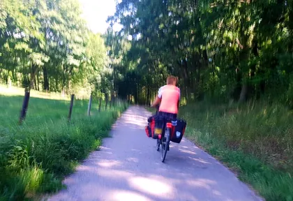
km 19 Photo: changchun1 · CC BY-SA 4.0 · cropped -
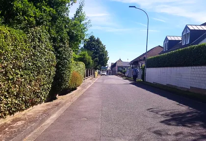
km 20.6 Photo: changchun1 · CC BY-SA 4.0 · cropped -
km 20.7 Kriegerdenkmal Firmenich Monument
-
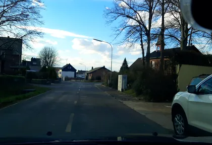
km 22.1 Photo: eifelkobold · CC BY-SA 4.0 · cropped -
km 22.1 Marien-Kriegergedächtnis-Kapelle Church
-
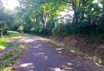
km 22.2 Photo: changchun1 · CC BY-SA 4.0 · cropped -
km 26.8 St. Brictius Church
-
km 27.7 Apostolische Gemeinde Euskirchen Church
Ride this loop in the app
You’ll find the route in the app under Themed Routes — Radrunde guides you along it node by node.
- Guides you Node by node — you look at the signs, not at your screen
- Works without signal The network data is on your device — if you lose signal, your phone calculates the loop itself
- Free No account, no ads — the NRW network stays free for good

