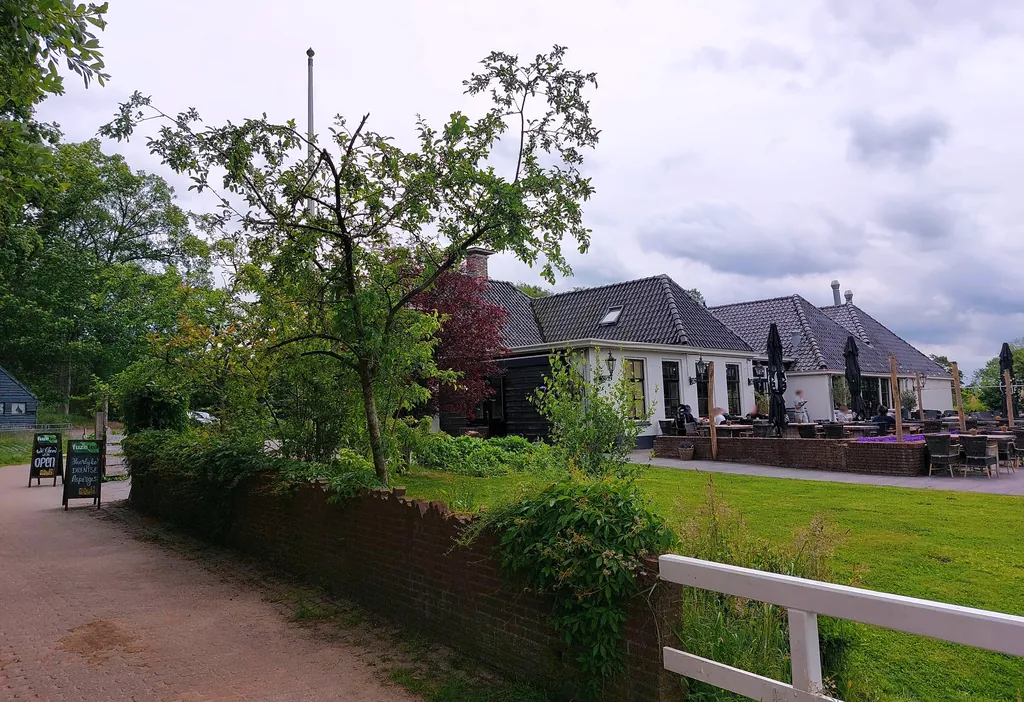
Themed route · Drenthe
Zuidlaren, Drentsche Aa and three churches
32 km approx. 2:08 h 62 hm Asphalt and concrete
A curated route from the free Radrunde app — navigable node by node across the node network in the app.
32 kilometres from Zuidlaren — across two bridges, past three churches, with cafés and ice-cream cafés along the way.
The route
You start in Zuidlaren. You cross the Gastersche Diep and the Roldersche Diep, pass the Anloërdiepje and roll along a mix of asphalt, concrete and paving. The route is flat — 62 metres of climbing over 32 kilometres. Along the way you'll find the Laarkerk, Kandelaarkerk and Magnuskerk, plus two viewpoints at the Kymmelsberg and at the Wetserlandse Lage Landen. If you fancy a break, you'll find several cafés such as the Koffieplein or the Theeschenkerij Homanshof, and ice-cream cafés like Room and Fenomini.
- Distance
- 32 km
- Ascent
- 62 m
- Riding time
- approx. 2:08 h
- Surface
- Asphalt and concrete
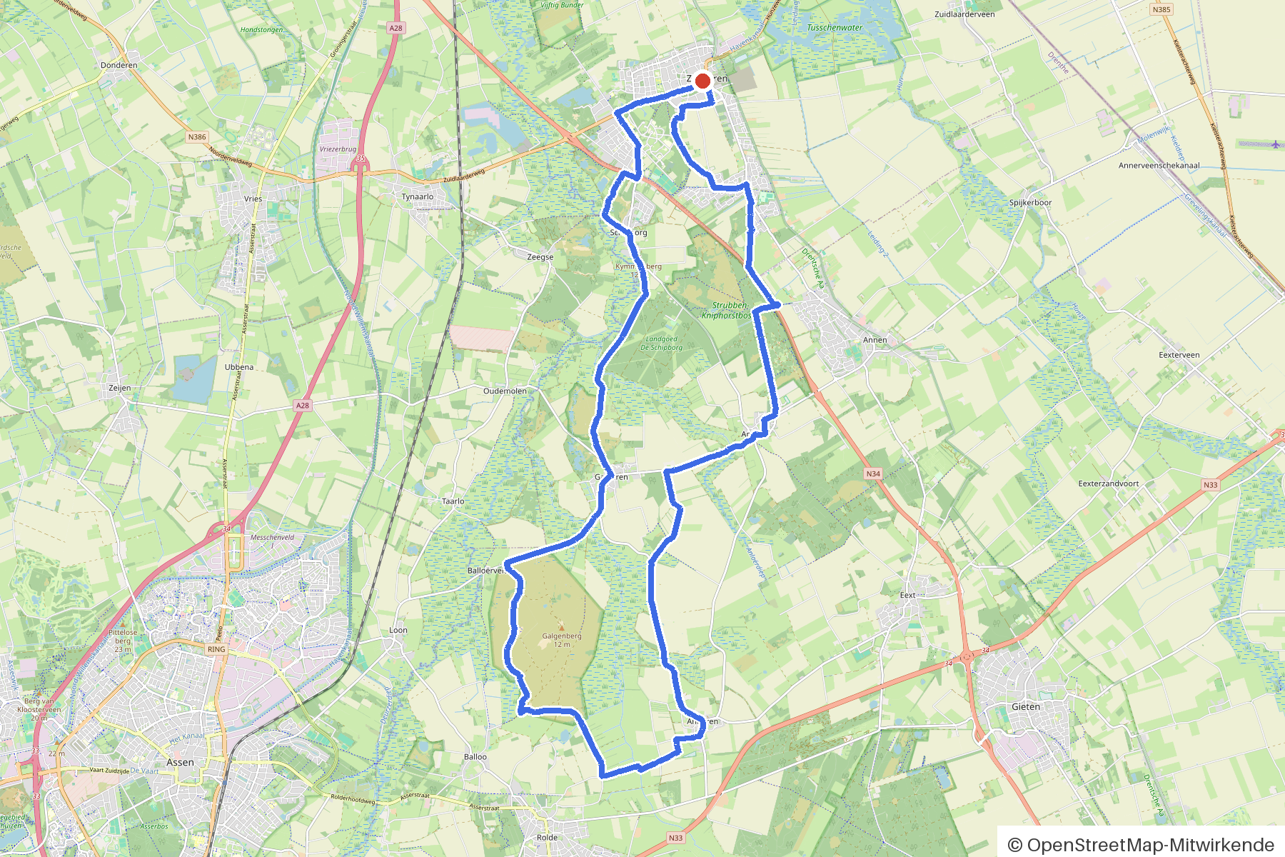
Along the route
km 0.0Start
In the app-
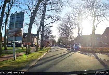
km 0 Photo: thewizard · CC BY-SA 4.0 · cropped -
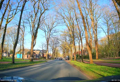
km 0.8 Photo: thewizard · CC BY-SA 4.0 · cropped -
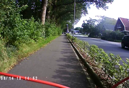
km 2 Photo: ezinge · CC BY-SA 4.0 · cropped -
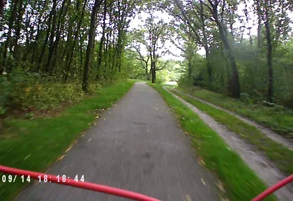
km 3.2 Photo: ezinge · CC BY-SA 4.0 · cropped -
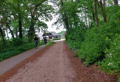
km 3.6 Photo: quintenv · CC BY-SA 4.0 · cropped -
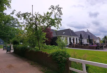
km 3.7 Photo: quintenv · CC BY-SA 4.0 · cropped -
km 4.6 Kymmelsberg Viewpoint
-
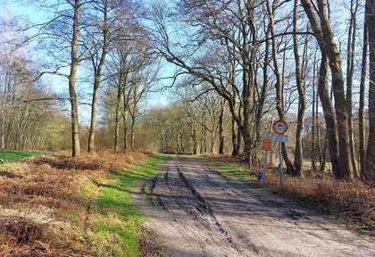
km 6.6 Photo: quintenv · CC BY-SA 4.0 · cropped -
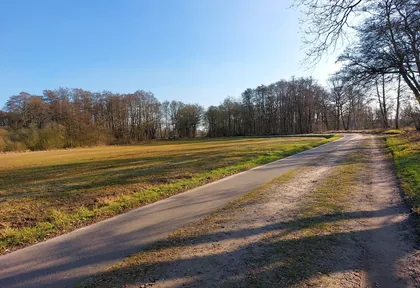
km 6.7 Photo: quintenv · CC BY-SA 4.0 · cropped -
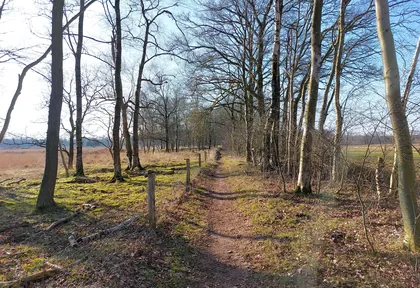
km 7.1 Photo: quintenv · CC BY-SA 4.0 · cropped -
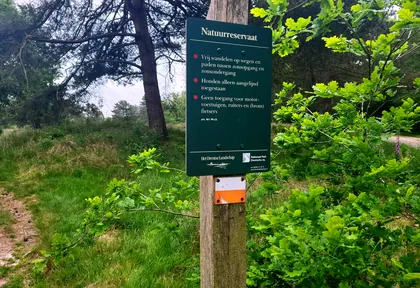
km 7.7 Photo: Xyberion · CC BY-SA 4.0 · cropped -
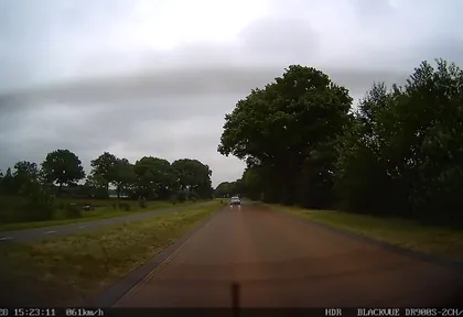
km 10 Photo: madel · CC BY-SA 4.0 · cropped -
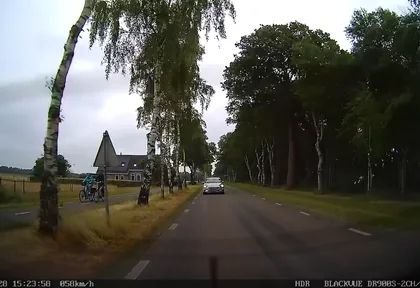
km 10.8 Photo: madel · CC BY-SA 4.0 · cropped -
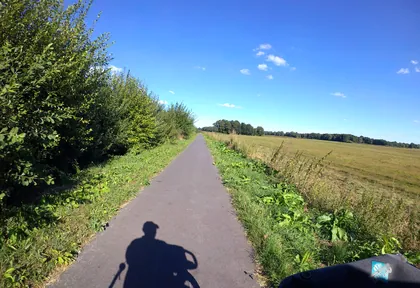
km 16 Photo: marczoutendijk · CC BY-SA 4.0 · cropped -
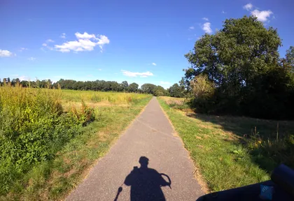
km 16.8 Photo: marczoutendijk · CC BY-SA 4.0 · cropped -
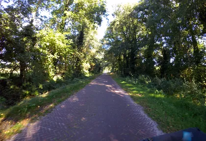
km 17.2 Photo: marczoutendijk · CC BY-SA 4.0 · cropped -
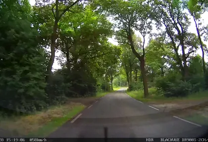
km 19.2 Photo: madel · CC BY-SA 4.0 · cropped -
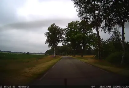
km 20.2 Photo: madel · CC BY-SA 4.0 · cropped -
km 20.6 Belvedere Wetserlandse Lage Landen SBB Viewpoint
-
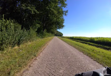
km 21 Photo: marczoutendijk · CC BY-SA 4.0 · cropped -
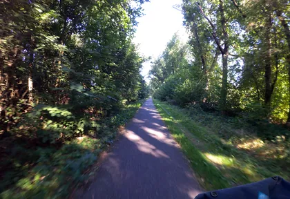
km 21.2 Photo: marczoutendijk · CC BY-SA 4.0 · cropped -
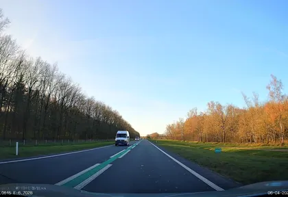
km 26.6 Photo: thewizard · CC BY-SA 4.0 · cropped -
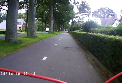
km 28.6 Photo: ezinge · CC BY-SA 4.0 · cropped -
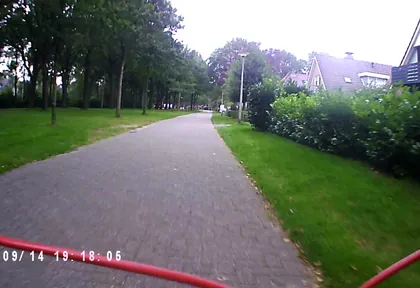
km 28.9 Photo: ezinge · CC BY-SA 4.0 · cropped
Ride this loop in the app
You’ll find the route in the app under Themed Routes — Radrunde guides you along it node by node.
- Guides you Node by node — you look at the signs, not at your screen
- Works without signal The network data is on your device — if you lose signal, your phone calculates the loop itself
- Free No account, no ads — the NRW network stays free for good

